NATURE
by Kezia Bacon, Correspondent
Measuring 134,000 square miles, Plymouth is one of the largest towns in Massachusetts. Fortunately for us, it offers quite a lot of open space. NSRWA’s website team has been working diligently to visit and document all of this town’s public trails. The result: we’ve added more than 30 Plymouth-based listings to our website! This month’s article highlights some of the best. Keep reading for details.
Also, be sure to keep up with our 2022 Explore South Shore Challenge as it enters its final month. Each week, we suggest a different outdoor activity. This month’s themes include: Explore the Beach in Winter, Visit a State Park, Visit a Rail Trail, and Watch the Sun Rise. To help you meet these challenges, every day in December we’ll feature a relevant property on Instagram and Facebook. Post photos from your adventures to Instagram with the hashtag #ExploreSouthShore. Each month we randomly select a winner from the posts to receive a prize package.
This large wooded property at 219 Beaver Dam Road features views of two kettle ponds and 2 miles of sometimes-challenging trails. It’s located within the watershed of Little Island Pond. Just down the road, check out Mass Audubon’s 481-acre Tidmarsh Wildlife Sanctuary (3 miles of trails) and the 126-acre Foothills Preserve (1.5 miles of trails), both in the Cape Cod Bay watershed.

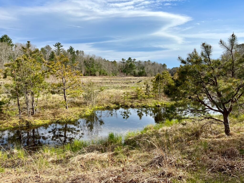
Once a cranberry bog, this 130-acre property is slowly reverting to its original form — a white cedar swamp, bordered by forest, with 1.7 miles of river flowing through it and about 3 miles of trails. Located at the intersection of Boot Pond Road and Long Pond Road, in the Eel River watershed. To further explore this river’s restoration, check out the 150-acre Russell Mill Pond Conservation Area (1.5 miles of trails), across the street.
The 317-acre Plymouth Town Forest features 4 ponds and 2.5 miles of woodland trails, with parking at 127 Long Pond Road. Immediately adjacent, the Wildlands Trust’s 47-acre South Triangle Pond Conservation Area (60 Drew Road) offers 2 miles of hilly woodland trails and water views. Both are part of the Town Brook watershed.
Check out the beach at this 78-acre property on Cape Cod Bay, as well as pine barrens, wetlands and a former cranberry bog. The 2.4-mile trail network begins at 158 Center Hill Road. Or stop by the 97-acre Ellisville Harbor State Park, where a half-mile trail extends along a ridge above the salt marsh and shoreline, with spectacular views (1861 State Road).
Plymouth’s largest park features 200 acres of forest, wetlands, trails and shoreline. It’s located on Morton Park Road, between Little Pond and the Billington Sea. Elsewhere on the sea (it’s actually a pond), don’t miss the hilly 70-acre Crawley Woodlands Preserve (2.5 miles of trails) and the also-hilly 63-acre Black Cat Preserve (2.5 miles of trails). All three are part of the Town Brook watershed.
Enjoy close-up views of the recently-restored Town Brook along this 1.5-mile walking path, which extends from Billington Street to the Plymouth waterfront. Along the way, the trail connects Town Brook Patuxet Preserve, Billington Street Park, Holmes Park, Town Brook Park, Plimoth Grist Mill, Brewster Gardens, and Pilgrim Memorial State Park.
Halfway Pond Conservation Area
This 409-acre Wildlands Trust property, a headwater to the Agawam River, features ponds, pine barrens, hardwood forests, and several miles of trails, with entrances at Mast Road and West Long Pond Road. Nearby, check out the Wildlands Trust’s wonderful Emery Preserve West (143 acres/3 miles of trails) and Emery Preserve East (1 mile) on Ship Pond Road, in the Cape Cod Bay watershed.
Russell & Sawmill Ponds Conservation Area
This North Plymouth property (75 Bourne Street) features two ponds, plus 2.8 miles of forest trails. Across the street at Cordage Park, check out the North Plymouth Rail Trail, a 1.2-mile all-access trail that passes through several different habitats. Both are part of the Cape Cod Bay watershed.
The only conservation area in West Plymouth – 12 acres with views of Clear Pond and a wide, flat 0.65-mile trail around a former cranberry bog — part of the South Meadow Brook watershed. Park at 16 Surrey Drive. For additional pond views, head south to Myles Standish State Forest, which boasts 12,400+ acres of woods within the watersheds of the Wankinco and Agawam Rivers. 15 miles of paved bike paths, 13 miles of forest trails. (365 Long Pond Road).
David E. Alper Nature Preserve
In the southern part of Plymouth, within the watershed of the Herring River, don’t miss this 43-acre property at the end of Little Herring Pond Road. It features a 0.75-mile cart path along a ridge between two ponds. Not far away, also check out the Comassakumkanit Preserve, a quiet 187-acre woodland with an 0.8-mile trail through a mixed upland forest (110 Roxy Cahoon Road). Or stop by Hedges Pond Recreation Area, a 105-acre property with a 2.25-mile forest trail loop (166 Hedges Pond Road).

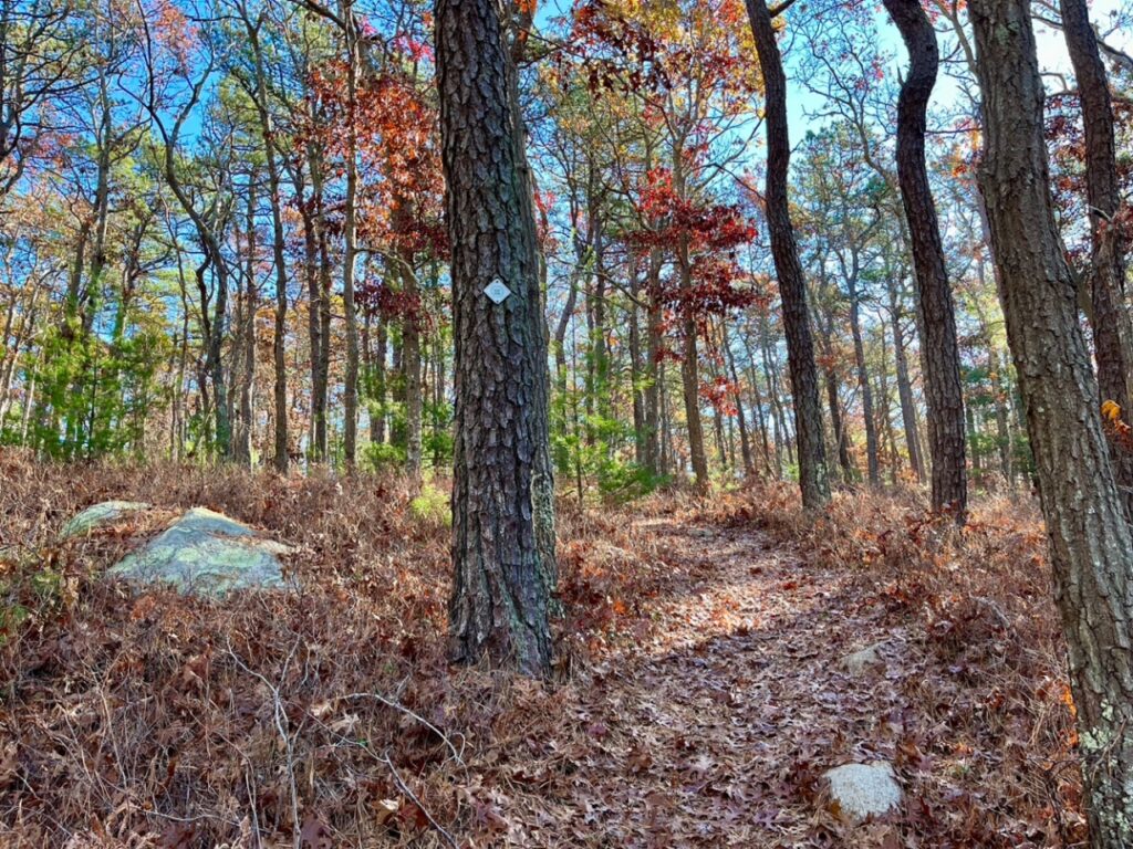
Don’t miss this hidden gem! This 116-acre woodland at 1210 Old Sandwich Road features a 0.85-mile loop trail with a steep climb. At the top, you can see the ocean. Also nearby: Indian Brook Conservation Area, a large wooded property with a 1.1-mile out-and-back trail and a view of Shallow Pond. Located toward the rear of the Manomet Recreation Area (1197 State Road). Both are part of the Cape Cod Bay watershed.
Kezia Bacon’s articles appear courtesy of the North and South Rivers Watershed Association, a local non-profit organization devoted to protecting our waters. For membership information and a copy of their latest newsletter, contact NSRWA at (781) 659-8168 or visit www.nsrwa.org. You will also find 25+ years of Kezia’s Nature columns there. Click here for more information about the 2022 Explore South Shore Challenge. This article is Powered by Planet Subaru: https://www.planetsubaru.com
