31 Loring St, Duxbury, MA 02332, USA
Duxbury Conservation: (781) 934-1100 ext. 5471
https://sites.google.com/view/kingstonconservation/bay-farm
Owned By: Town of Duxbury, Town of Kingston
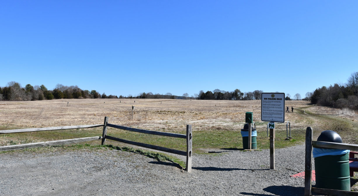
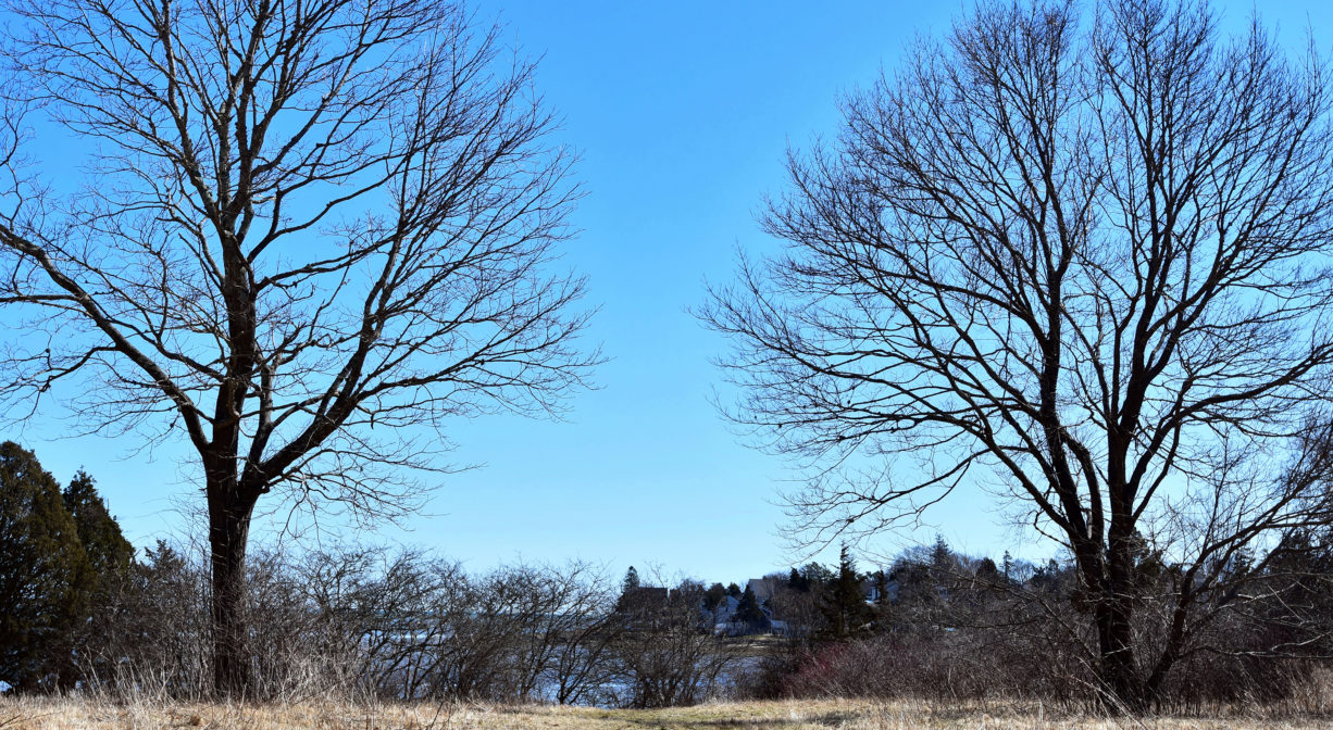
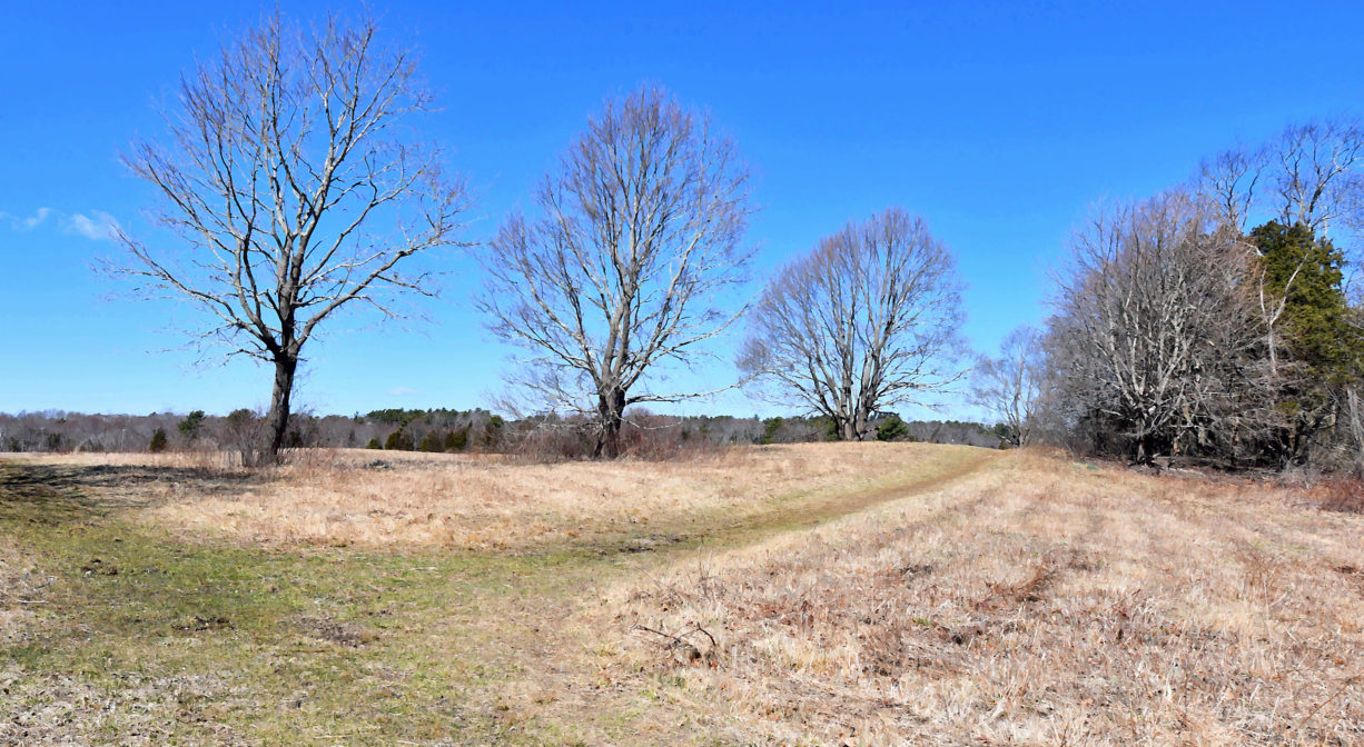
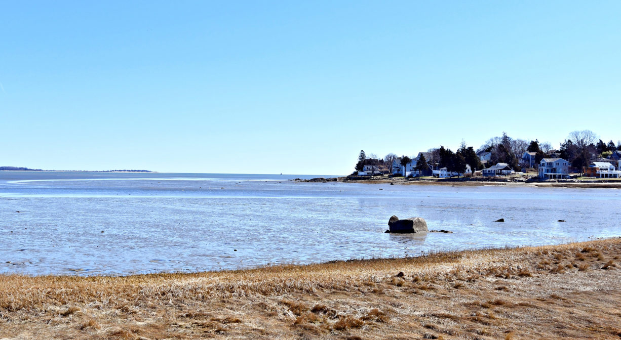
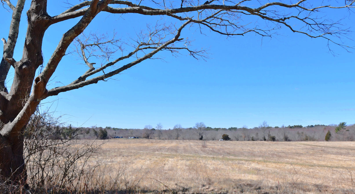
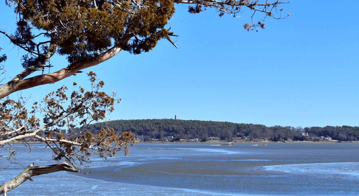
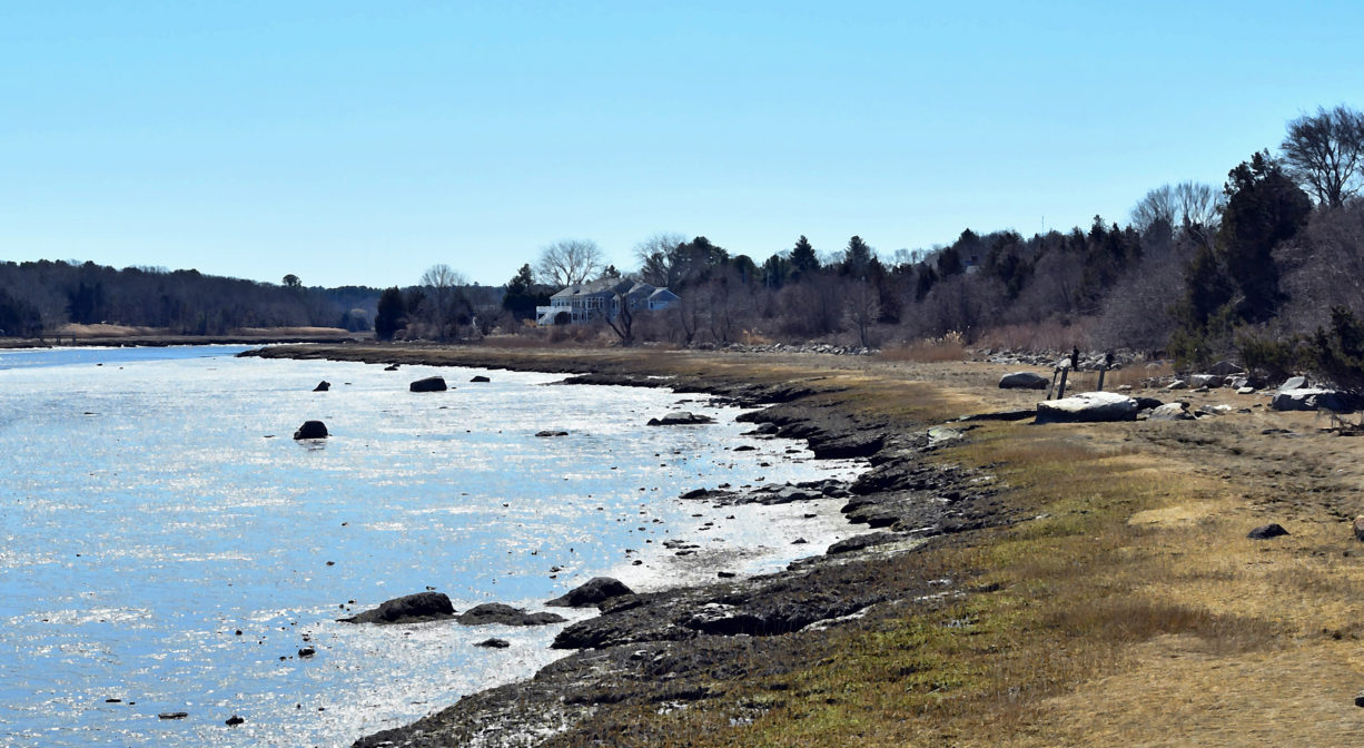
Bay Farm Conservation Area is a large scenic property with 2 miles of trails through woodlands and meadows, plus spectacular views of Kingston Bay. Located on the Duxbury/Kingston town line, it is the southern terminus of the Bay Circuit Trail. It is jointly owned by the towns of Duxbury and Kingston and the MA Department of Environmental Protection. Stroller-friendly in some sections.
Hunting is not permitted on this property.
FISHING ADVISORY: It’s important to know that some of our fisheries are contaminated with mercury, PFAS and/or other concerning substances. The Massachusetts Department of Public Health maintains an online database with up-to-date advisories regarding fish consumption, sorted by location. We recommend you consult this valuable resource when planning a fishing excursion.
Features
The land that is now Bay Farm was occupied by Native Americans long before European settlers arrived. In particular, the Patuxet, members of the Wampanoag tribe, made their home in the area now known as Duxbury, Kingston and Plymouth. Numerous artifacts have been found on site, indicating that Bay Farm was likely a spring/summer/fall encampment site.
To learn more about local Native American tribes, we encourage you to interact with their members. The Mashpee Wampanoag and the Herring Pond Wampanoag share information on their websites.
In 1627, Duxbury landowners began farming here. In the early days of the 20th century, Atherton Loring and his business partners owned a huge tract of land here, from Tremont Street (Route 3A) to Kingston Bay. In 1904, they established the Bay Farm Company. It was primarily a dairy farm, but they also raised horses, hogs, chickens and roosters. By the late 1940s, the White brothers had taken over the enterprise.
After Route 3 was extended through Duxbury (1960s), the population began to rise quickly. Responding to this change, the Conservation Commission sought to preserve the farm as open space. An agreement to purchase 44 acres in 1967 eventually led to the actual purchase in 1973. An adjacent parcel (29 acres) in Kingston was added in 1989. Later, another 7.75-acre parcel was added by the Massachusetts Department of Environmental Management.
The 42nd parallel runs through the Kingston side of Bay Farm. Look for the marker on Landing Road.
Trail Description
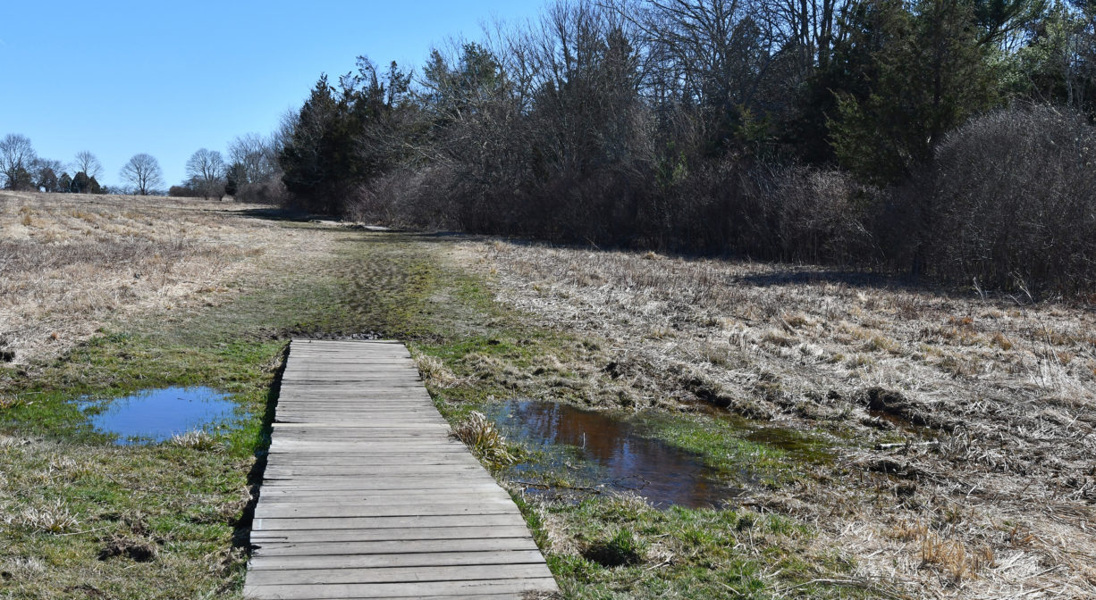
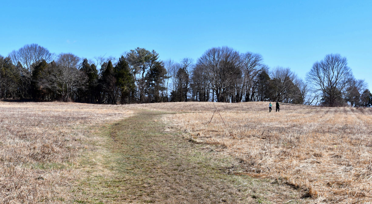
The 2-mile trail network at Bay Farm is expansive and varied. Some trails lead through the woods, others around and through a large open meadow, and others along the bay shore. All are color-coded, and corresponding maps are available online (see above).
Bay Farm is also the southern terminus of the Bay Circuit Trail. A short stretch of this 230-mile trail extends through the property. Look for the informational kiosk on the Kingston side of the property, near the shoreline. There is additional pedestrian access from River Street in Kingston.
Habitats and Wildlife
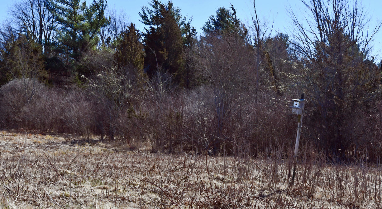
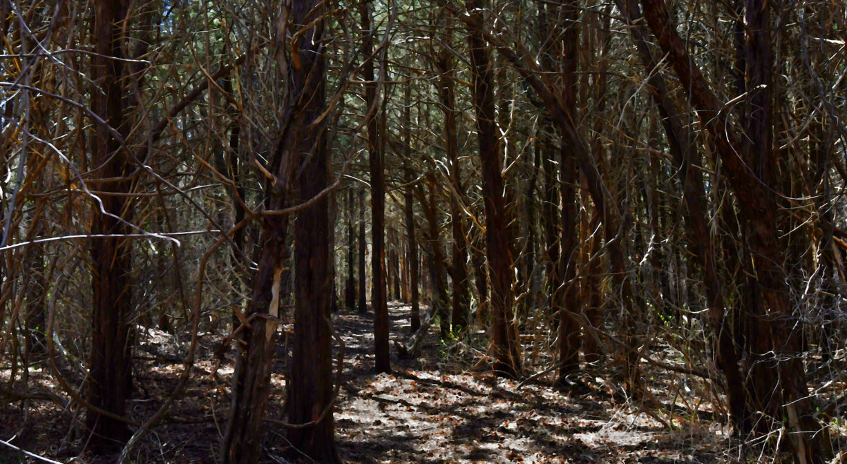
Located directly on Kingston Bay, the Bay Farm Conservation Area offers a variety of habitats from sandy beach, rocky ledge with tide pools, salt marshes, grasslands, wetlands, and woods. There are also some glacial erratic boulders. The open field attracts such wildlife as bobolink, red-tailed hawk, fox, coyote, white-tailed deer, bees, butterflies, and (in June) fireflies. Don’t miss the large grove of cedar trees on the yellow trail. Other trees include oak, pine, birch and beech. These forests are relatively new — about 100 years of age at most, and some much more recent.
Cedar Rocks, the large granite rock outcropping at the edge of the bay, is a popular spot for anglers who favor deep channel fishing. Common species found here include bluefish and striped bass. From this spot, you can see Gurnet Light, Saquish, Clark’s Island, Myles Standish Point, Rocky Nook and the Jones River.
Historic Site: No
Park: No
Beach: No
Boat Launch: No
Lifeguards: No
Size: 80 acres
Hours: Dawn to Dusk
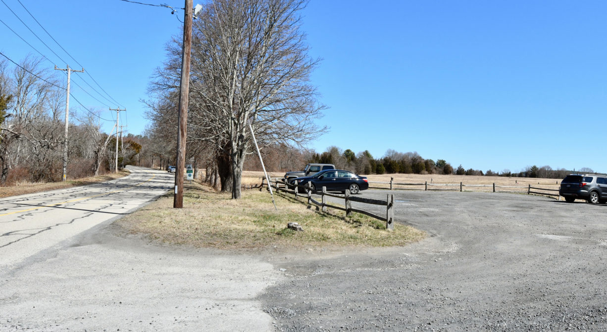
Parking: Limited on-site parking on Loring Street, Duxbury.
Cost: Free
Trail Difficulty: Easy
Facilities:
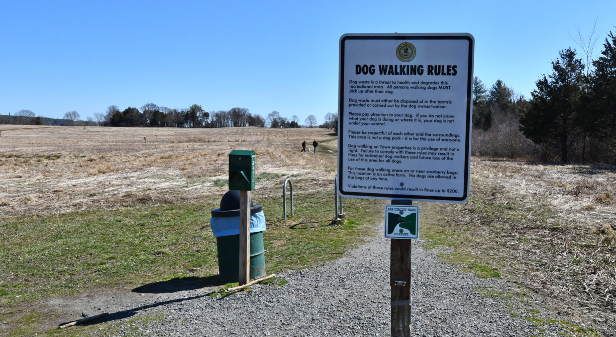
Benches, boardwalks and footbridges, informational kiosks, trash and dog waste receptacles, bike rack. Geocache location.
Dogs: Kingston requires all dogs to be leashed. Duxbury’s requirements are as follows: All dogs shall be effectively restrained and controlled by a chain or leash, or otherwise under the immediate and effective control of a handler, or confined to a motor vehicle. Each person who owns, possesses or controls a dog shall remove and properly dispose of any feces left by his/her dog. For current rules see: https://www.town.duxbury.ma.us/animal-control
Boat Ramp: No
ADA Access: No
Scenic Views: Yes
Waterbody/Watershed: Kingston Bay watershed

