pine street courts, 290 Pine St, Norwell, MA 02061, USA
Norwell Recreation: (781) 659-8046
https://www.townofnorwell.net/recreation-department
Owned By: Town of Norwell
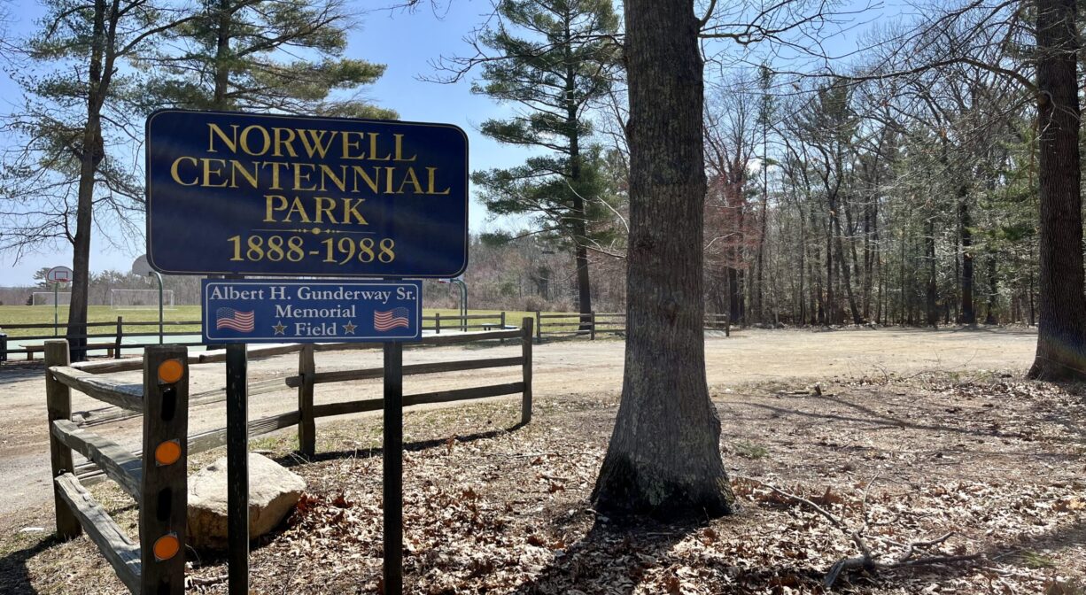
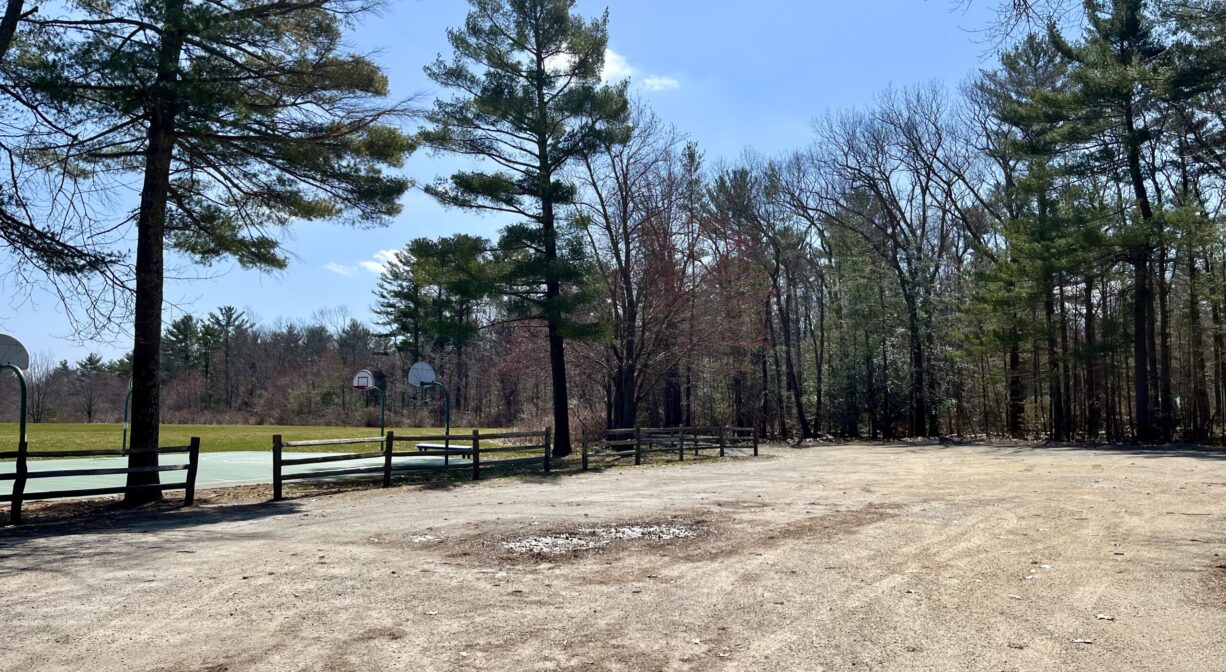
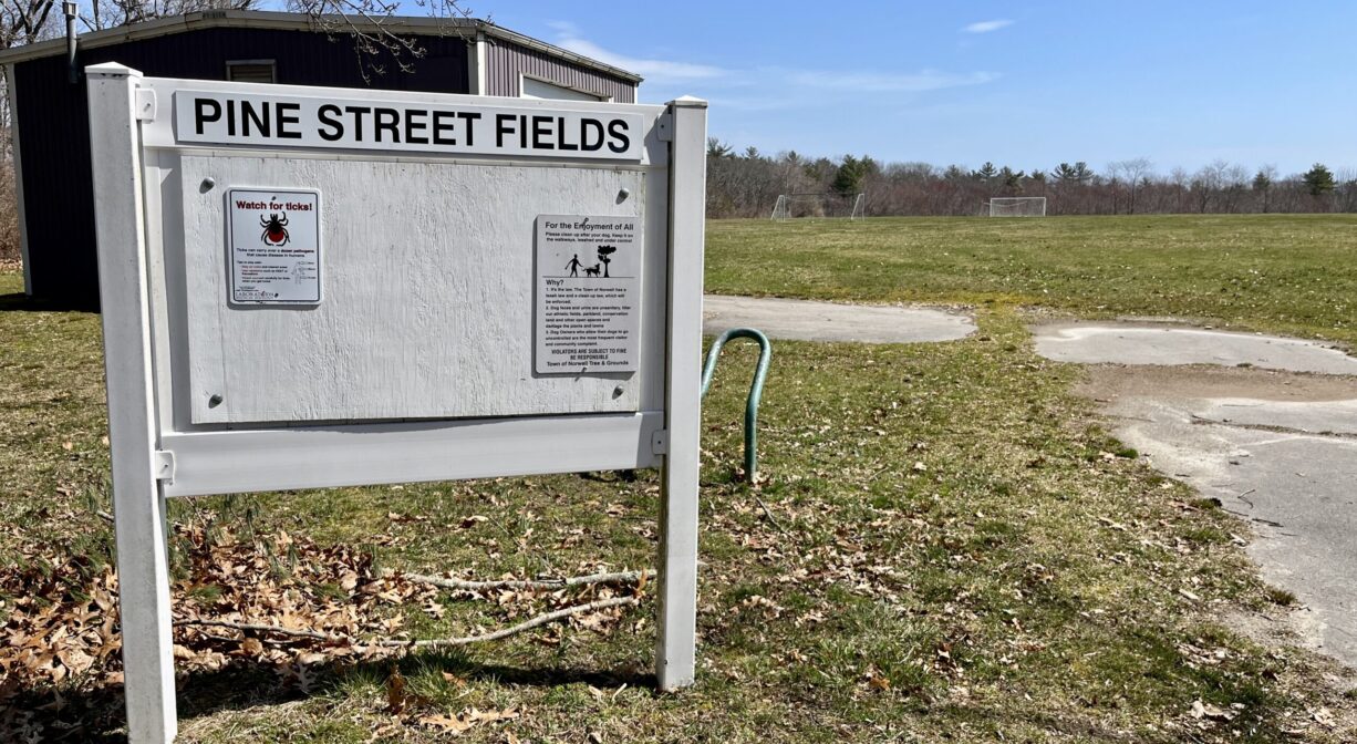
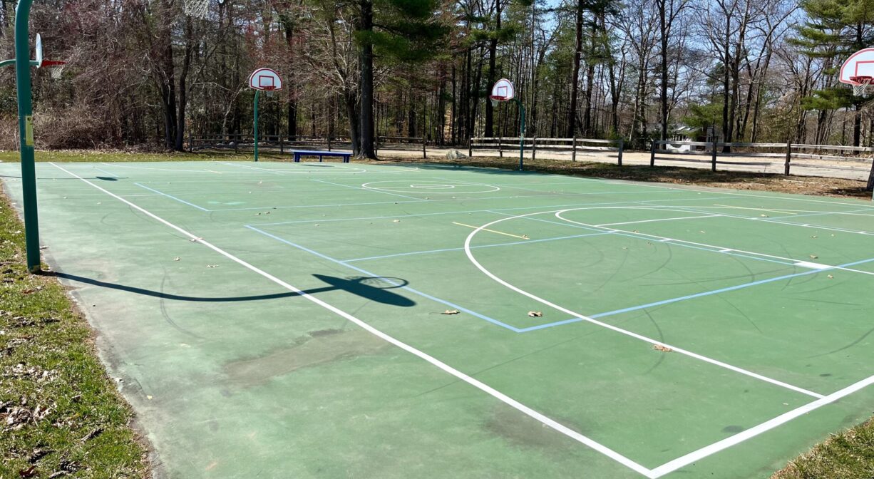
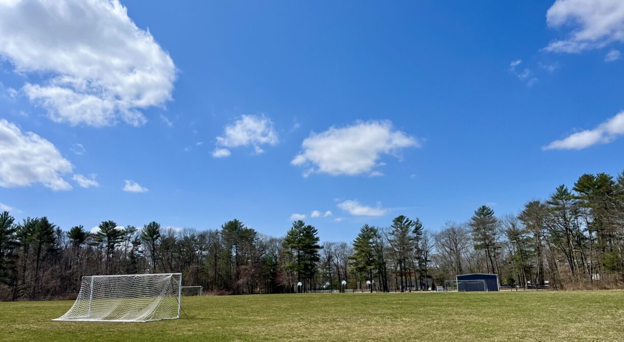
Town-owned athletic complex with trail link to Charles Ed White Recreational Area. Soccer fields, basketball court. In the winter, the Norwell Men’s Club often sets up a temporary ice skating rink here. Located on Pine Street across from the Norwell Council on Aging.
Features
This property was renovated in 2018 by the Town of Norwell. In earlier times in was a landfill, but it was capped in the 1980s and is now overseen by the Norwell Board of Health.
This land is within the region of the Massachusett (or Massachuseuk) Native American tribe. For thousands of years, the land that today is known as Norwell was inhabited by indigenous people who grew crops, foraged, hunted, and fished in the Assinippi and North River areas. Circa 1617, a major outbreak of disease decimated an estimated 90% of the native population in New England, including the Massachusett and Wampanoag tribes that inhabited the South Shore. There are still descendants of these original inhabitants living here today. They are known as the Mattakeesett Tribe of the Massachusett Indian Nation , the Massachusett Tribe at Ponkapoag, and the Mashpee Wampanoag tribe.
Trail Description
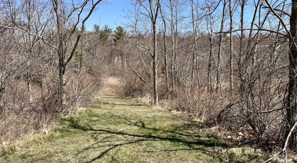
This park is primarily set up for soccer and basketball, but if you walk along the right edge of the fields, after about 0.1 mile, you will see a trail that leads downhill. This connects with the Charles Ed White Recreational Area. You can continue about 0.3 miles through the woods to Green Street. The trail is obstructed in a few places, due to fallen trees, but it’s possible to navigate around them.
A little farther toward the back of the fields, there is an additional trail, which extends in a pleasant half-loop through a meadow, reconnecting with the athletic fields after about 0.15 miles.
Habitats and Wildlife
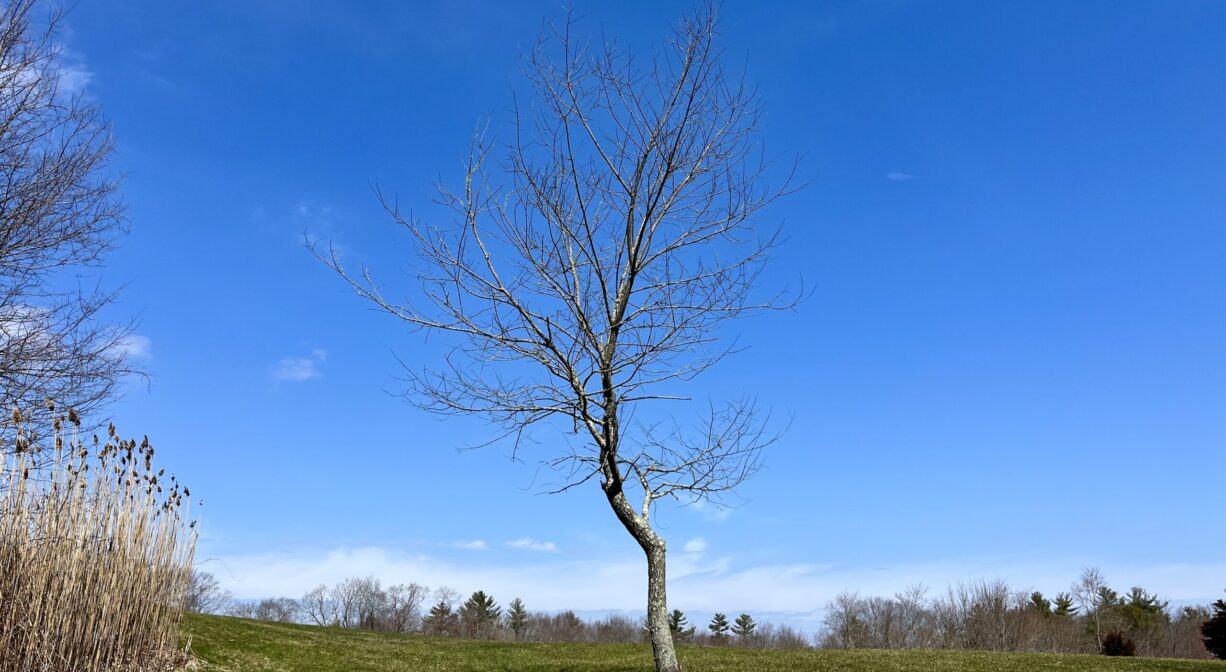
Grassy field with some shrubs, pines, maples, oaks, and cedars around the perimeter, and a meadow out back. Also a small area of wetlands.
Located within the watershed of the North River. Approximately 10 miles in length, the North River begins at the confluence of the Indian Head River (Hanover) and Herring Brook (Pembroke). From there it flows through the towns of Hanover, Pembroke, Marshfield, Norwell, and Scituate. It empties into the Atlantic Ocean between Third and Fourth Cliffs, draining approximately 59,000 acres along the way.
Historic Site: No
Park: Yes
Beach: No
Boat Launch: No
Lifeguards: No
Size: 17 acres
Hours: Dawn to Dusk
Parking: Limited on-site parking. Located across the street from the Norwell Council in Aging.
Cost: Free
Trail Difficulty: Easy
Facilities:
Trash receptacles, bike rack, benches, basketball court, soccer fields. Seasonal ice skating.
Dogs: Dogs must remain on leash. Scoop the poop!
Boat Ramp: No
ADA Access: No
Scenic Views: Yes
Waterbody/Watershed: North River (North & South Rivers watershed)

