
Marshfield Conservation: 781-834-5573
Owned By: Town of Marshfield
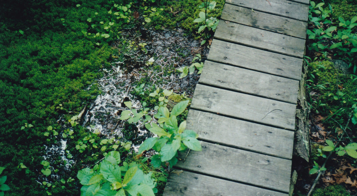
Cornhill Woodland is 123 acres of conservation land on the North River in Marshfield, with two miles of trails and boardwalks through forest and freshwater wetlands. Along the way, you’ll catch glimpses of brooks, glacial erratic boulders, and salt marsh, plus a number of old stone walls. This was once prime agricultural land.
Hunting is not allowed at Cornhill Woodland, or at any of Marshfield’s other conservation properties.
Features
This property was acquired by the Town of Marshfield as conservation land in 1973, with an additional acquisition in 1980. In the 1700s and 1800s, several members of the Rogers Family lived on today’s Corn Hill Lane (then Gravelly Beach Lane). Very likely, Cornhill Woodland was part of their acreage. There is an old well on the property. The Rogers Family also owned the lands that make up today’s Nelson Memorial Forest.
The Rogers shipyard was located at the end of Cornhill Lane. It operated from 1790-1819, with Samuel, Stephen, Joseph and Thomas Rogers all building ships there. In addition, the family operated a blacksmith shop near the intersection of Highland and Union Streets. Circa 1800, this was the center of North Marshfield Village. Nearby were a store, a post office, and the Corn Hill School District No. 6 school (1838-1920).
From the ferry crossing, and later the bridge at Union Street, a cart path extended south along the edge of the marsh. In the woods at Cornhill Woodland, and along the end of Cornhill Lane, where it runs parallel to the North River, its easy to imagine the route of this path. The cart path continued to Two Mile Brook, and beyond to today’s Maryland Street.
This land is within the region of the Massachusett (or Massachuseuk). To learn more about local Native American tribes, we encourage you to interact with their members. The Massachusett tribe at Ponkapoag and the Mattakeeset band of the Massachusett share information on their websites.
Trail Description
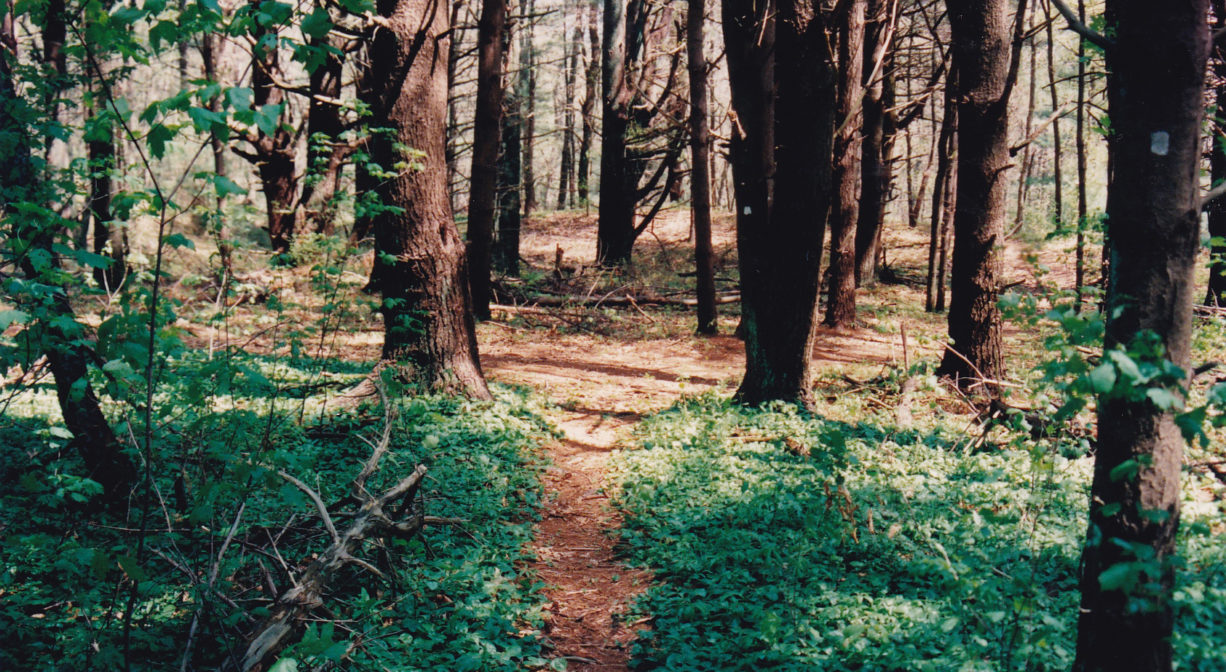
Corn Hill Woodland is a great place for a long, peaceful walk. There are number of interconnected trails, mostly through the forest, totaling about 2 miles. They are blazed in blue, yellow and red. Some are flat and others are rocky or rooty.
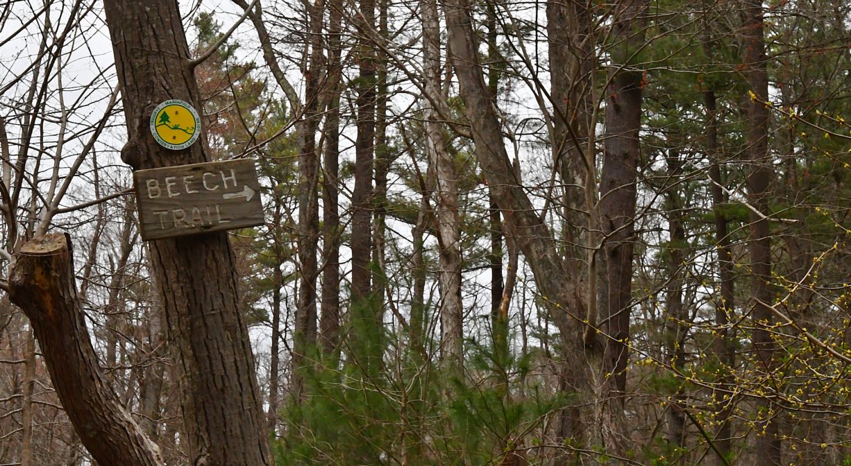
There are four loops, plus three additional spur trails that lead to roadside trail heads (one on Union Street and two on Cornhill Lane). Some of the paths are quite narrow – especially if you visit in the summer, when the ferns are leafed out in their entirety. There are spots where the ferns are so lush, you can’t see the ground at all! The blazes posted just above eye level on some of the trails are extremely helpful, but we still recommend bringing a map. This property is not especially stroller-friendly.
Habitats and Wildlife
There are a number of beech trees along the trails in the eastern half of the property. In the summer, the ferns can be spectacular! Also present: pine, oak, ash, holly, maple, birch, sassafras, sweet pepper bush, wintergreen, princess pine witch hazel. There are also some vernal pools.
There’s so much undisturbed land in Cornhill Woodland — wildlife thrives here. Watch for red fox hunting for small mammals, and listen for forest song birds in the trees.
It’s difficult to imagine, but just a century ago (1919), all of the land on this property — once known as the Garner Farm — was cleared and plowed for planting. Look closely between the tall pine trees and you may still see grooves from the plows.
This property is located directly on the North River. Approximately 10 miles in length, the North River begins at the confluence of the Indian Head River (Hanover) and Herring Brook (Pembroke). From there it flows through the towns of Hanover, Pembroke, Marshfield, Norwell, and Scituate. It empties into the Atlantic Ocean between Third and Fourth Cliffs, draining approximately 59,000 acres along the way.


Historic Site: No
Park: No
Beach: No
Boat Launch: No
Lifeguards: No
Size: 123 acres
Hours: Dawn to Dusk
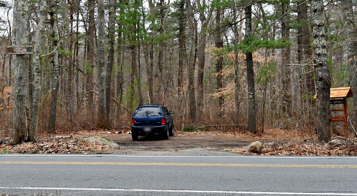
Parking: Limited on-site parking (4 vehicles). Look for the parking area between 1087 and 1147 Union Street, across the street from the Phillips Farm Preserve.
Cost: Free
Trail Difficulty: Easy, Medium
Facilities:
Boardwalks and an informational kiosk. Geocache location.
Dogs: Dogs must remain on leash. Please clean up after your pet!
Boat Ramp: No
ADA Access: No
Scenic Views: Yes
Waterbody/Watershed: North River