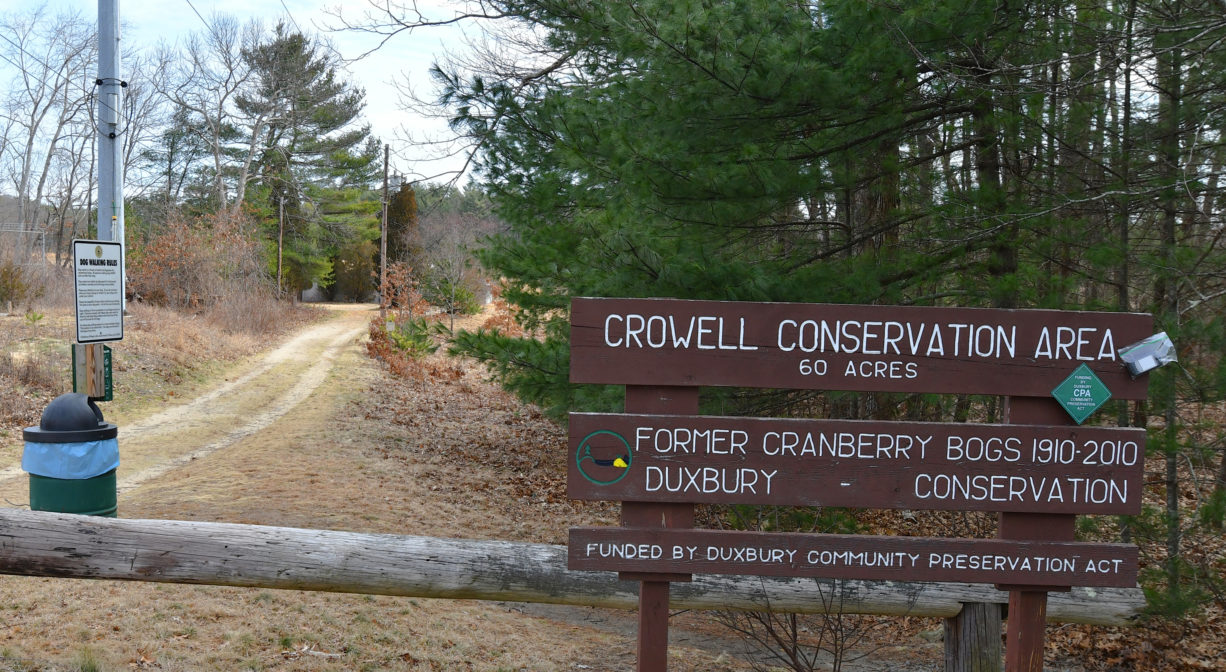
Crowell Conservation Area, 225 Lincoln St, Duxbury, MA 02332, USA
Town of Duxbury: (781) 934-1100 ext. 5471
Owned By: Town of Duxbury
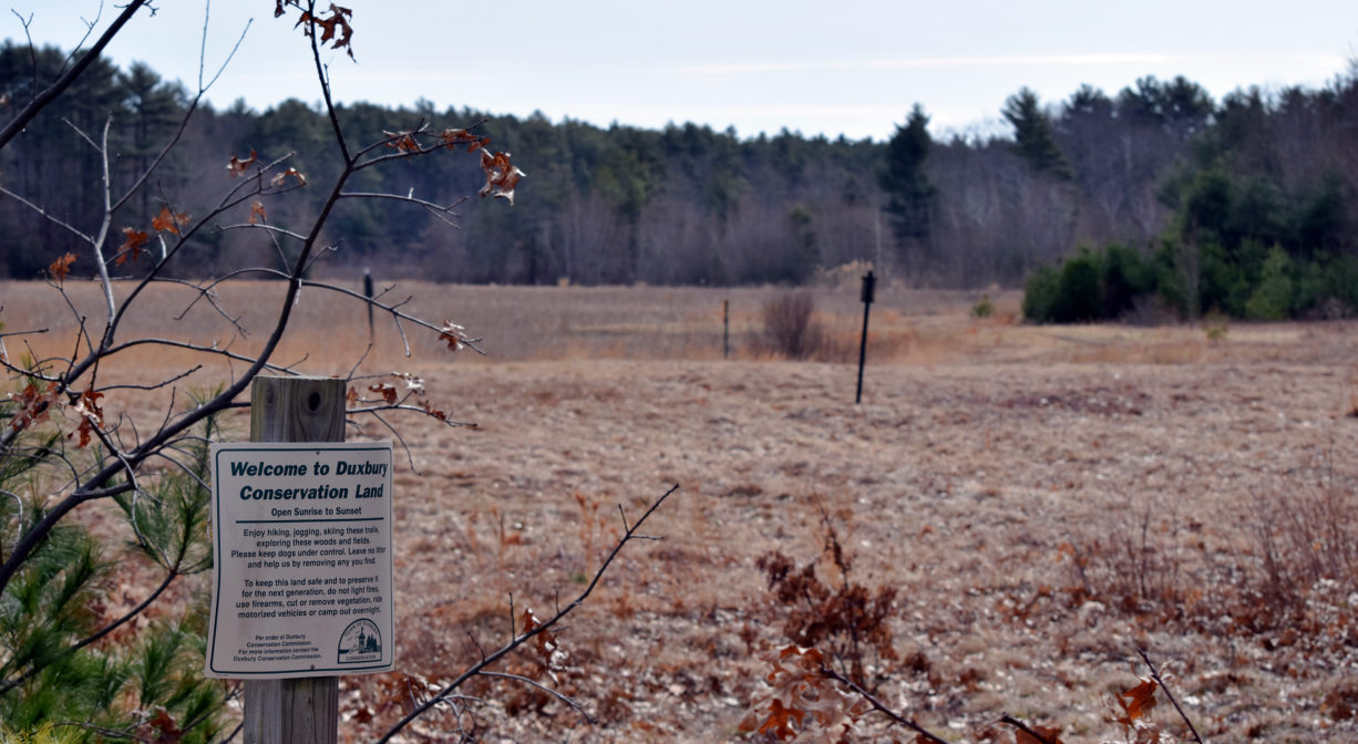
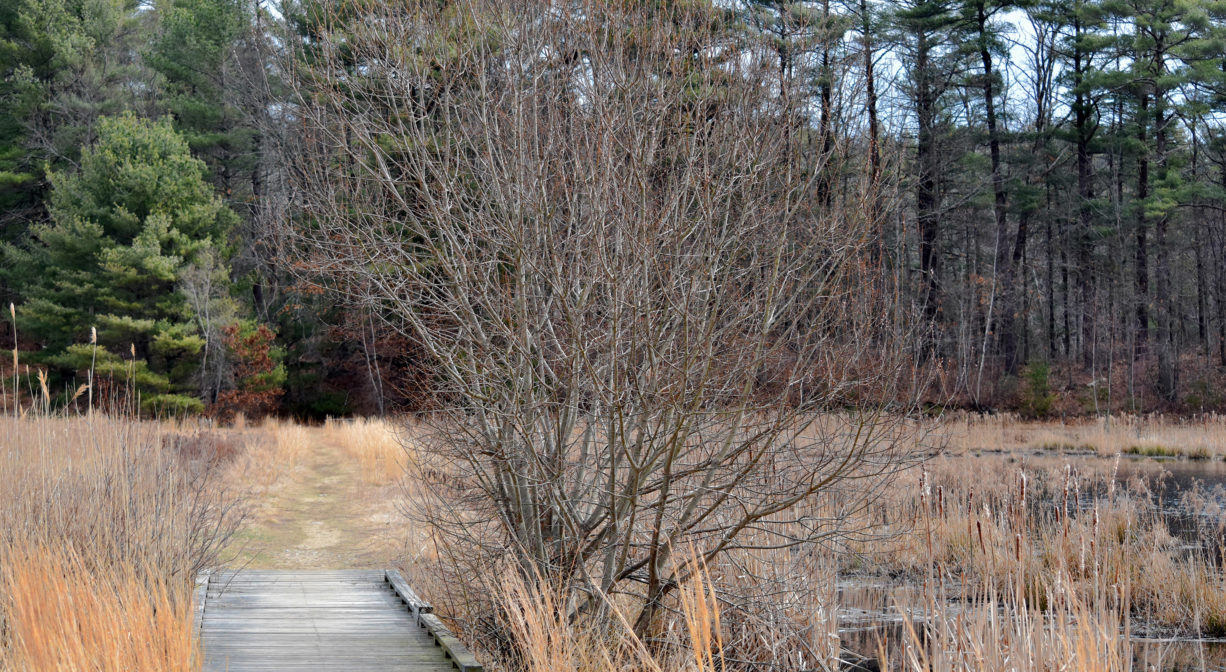
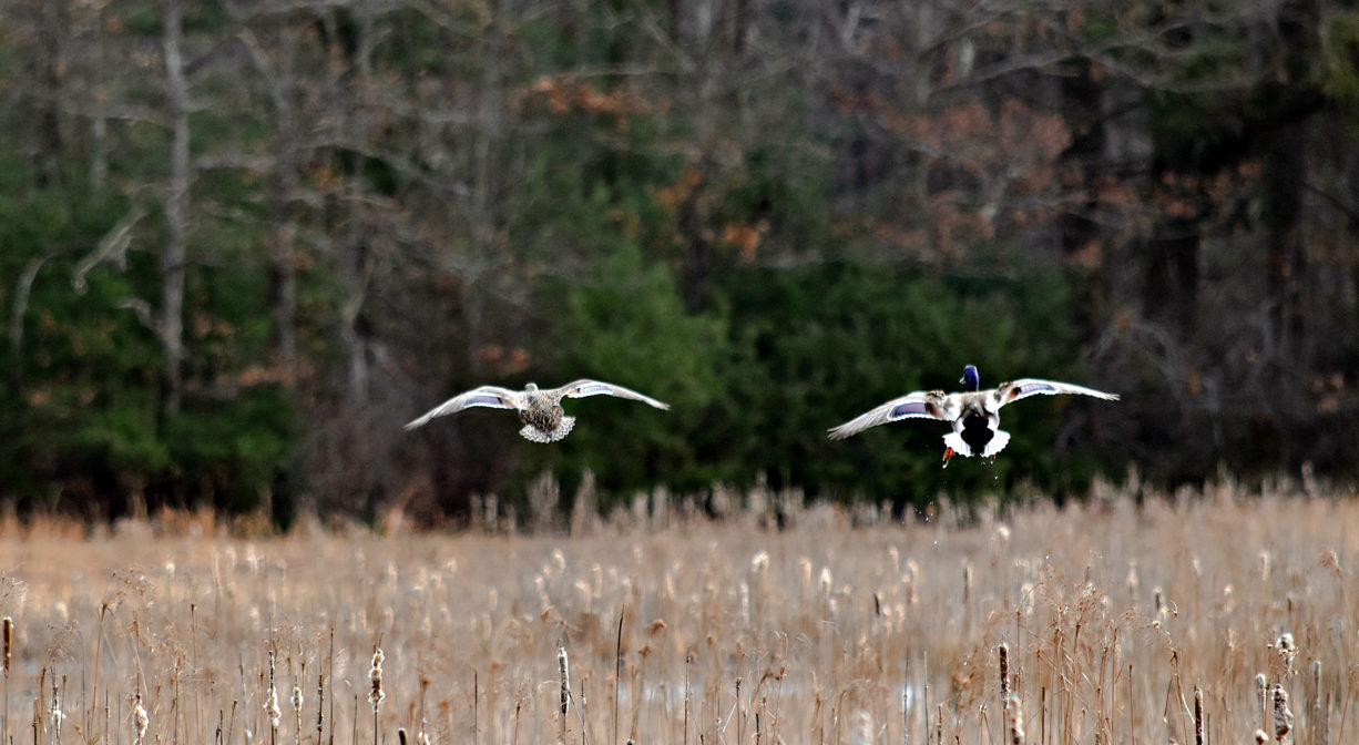
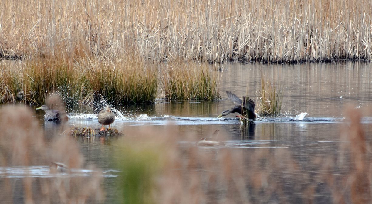
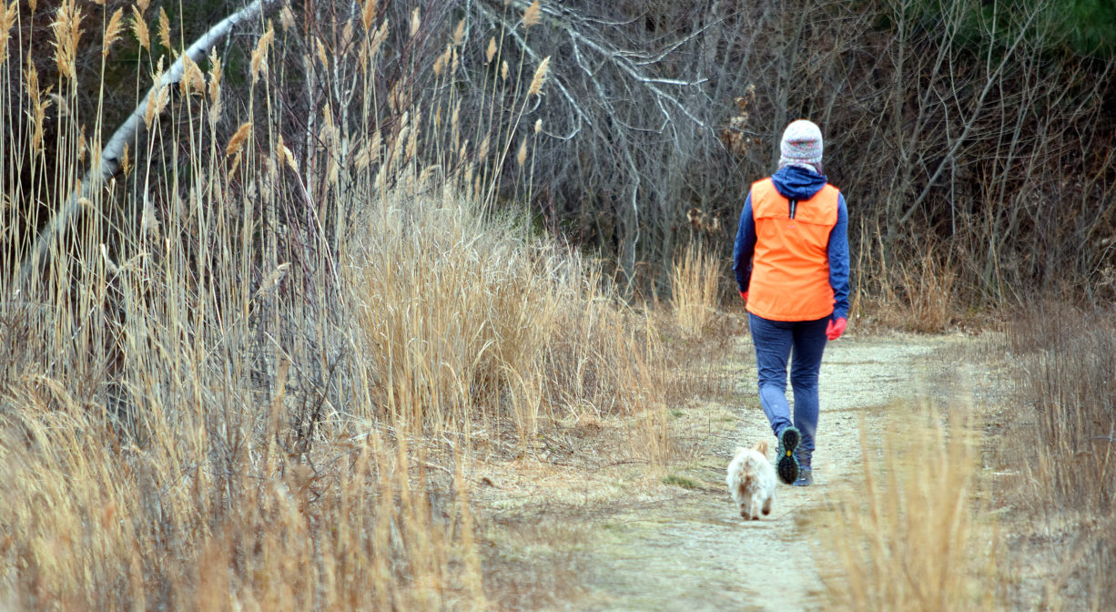
The Crowell Conservation Area in Duxbury is a retired cranberry bog with approx. 2 miles of trails. Around the former-bog areas, the trails are wide and feature views of marshes, ponds and wetlands. A 1-mile spur trail extends south through the property to Lincoln Street. Excellent birding! Also known as Crowell Bog.
Hunting is not permitted on this property.
Features
This property was an active cranberry bog for many years. It has been retired, and is slowly transitioning back to a natural state. There are still several outbuildings from the cranberry days on the property, including large barn and two pump houses. Less picturesque is an electrical power supply, immediately adjacent.
Prior to European contact, the Mattakeeset band of the Massachuseuk (or Massachusett) Native American tribe lived for thousands of years in the North River watershed. Their village included most of today’s Pembroke and Hanson. Meanwhile the Patuxet band of the Wampanoag tribe inhabited the Jones River watershed, and the area now known as Kingston, Plymouth and Duxbury. This property lies within the upper portion of the Green Harbor River watershed — right between those two territories. It’s possible that both tribes utilized the area.
To learn more about local tribes, we encourage you to interact with their members. The Mattakeeset band of the Massachusett, the Massachusett tribe at Ponkapoag, the Mashpee Wampanoag, and the Herring Pond Wampanoag also share information on their websites.
Trail Description
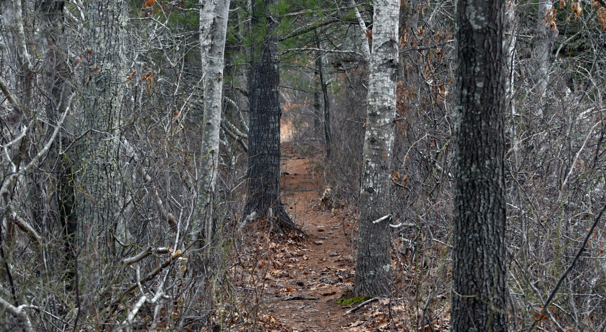
Approx. 1 mile of trails around former bogs. Trails are wide and flat, occasionally thick with grass and vines, but mostly clear. There are some wet/muddy sections. From the southeastern portion of the loop, look for a 1-mile spur trail that leads into the woods, and loops around to Lincoln Street.
Habitats and Wildlife
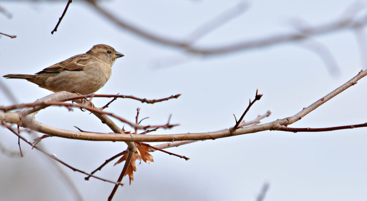
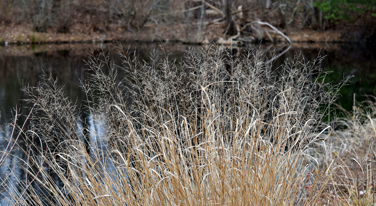
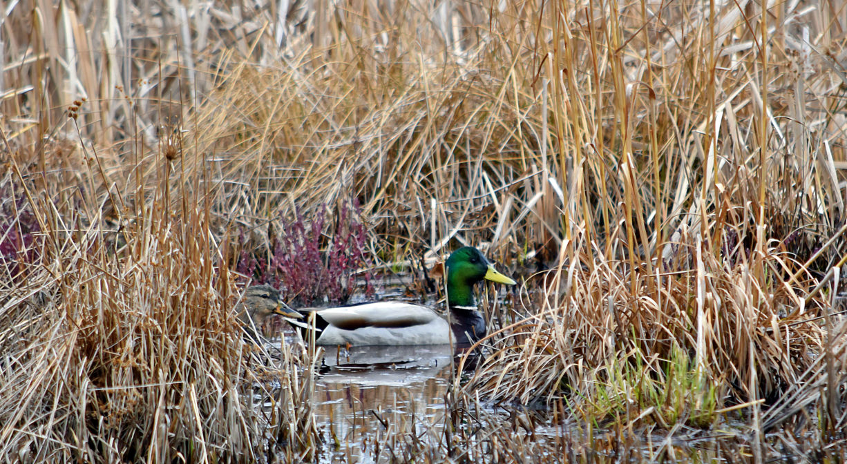
Retired cranberry bogs now transitioning into wetlands and marsh. Mostly open space with some pine, oak, hemlock and birch trees. Watch for red winged blackbirds in the marsh areas. There are two small ponds on the property as well.
This property, along with Wright Reservoir nearby (at the Williams Preserve) is a headwater to the Green Harbor River, which twists and turns through Marshfield via a large cranberry bog complex, the Green Harbor Golf Club, the Daniel Webster Wildlife Sanctuary, property owned by the Marshfield Municipal Airport, and Peter Igo Park. Just downstream of the Dyke Road bridge (and dike), it flows into the Atlantic Ocean at Green Harbor.

Historic Site: No
Park: No
Beach: No
Boat Launch: No
Lifeguards: No
Size: 60 acres
Hours: Dawn to Dusk
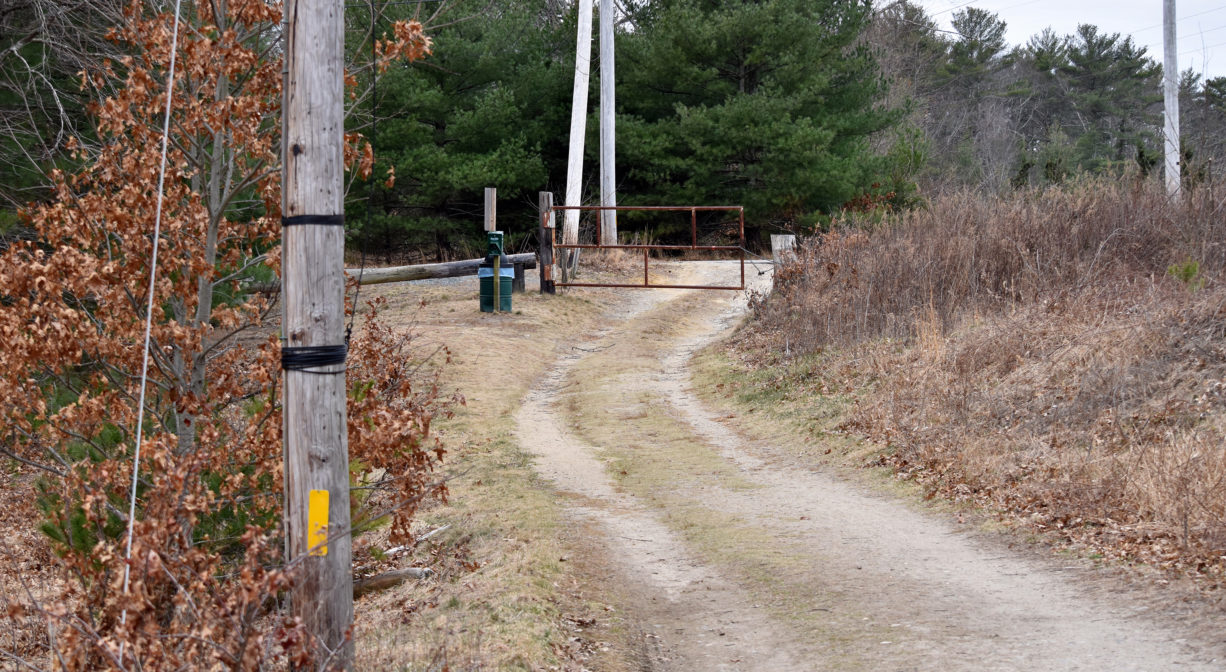
Parking: Limited on-site parking on LIncoln Street.
Cost: Free
Trail Difficulty: Easy
Facilities:
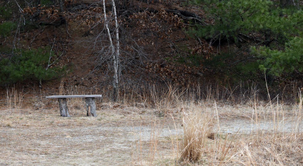
Benches, nesting boxes, dog waste and trash receptacles.
Dogs: All dogs shall be effectively restrained and controlled by a chain or leash, or otherwise under the immediate and effective control of a handler, or confined to a motor vehicle. Each person who owns, possesses or controls a dog shall remove and properly dispose of any feces left by his/her dog. For current rules see: https://www.town.duxbury.ma.us/animal-control
Boat Ramp: No
ADA Access: No
Scenic Views: Yes
Waterbody/Watershed: Green Harbor River watershed