1896 Ocean St, Marshfield, MA 02050, USA
Town of Marshfield: (781) 536-2500
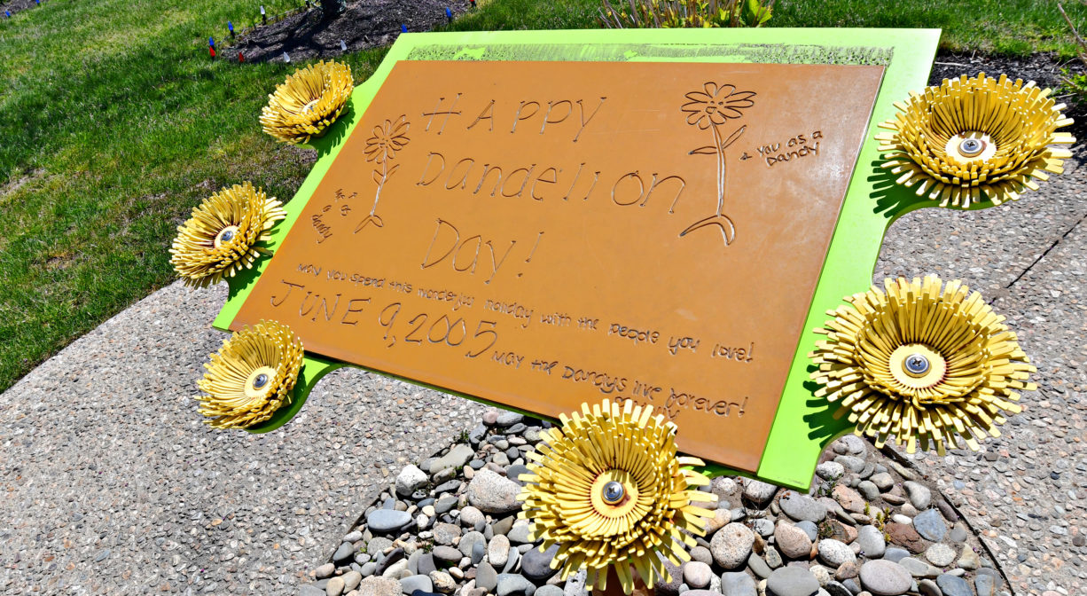
https://www.mollyfund.net/index.php/dandelion-park
Owned By: Town of Marshfield
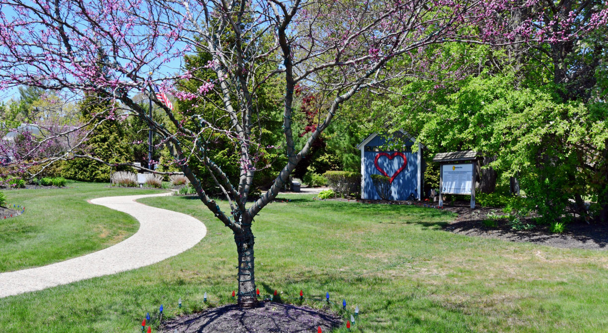
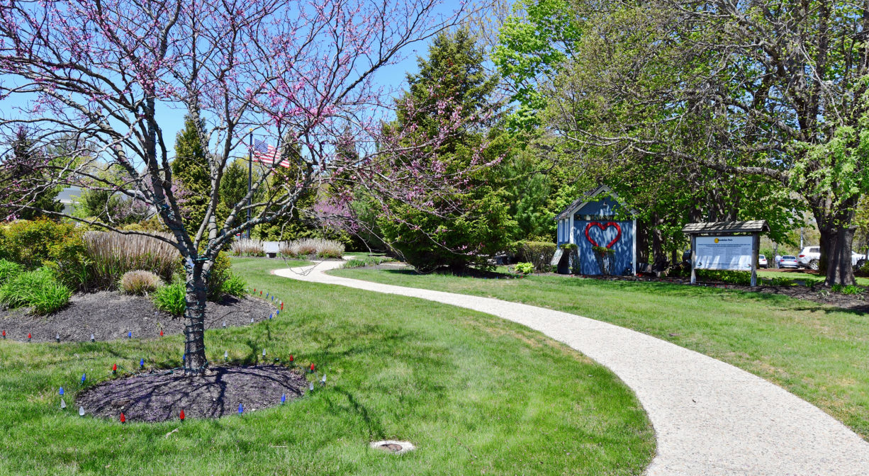
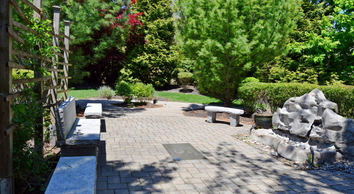
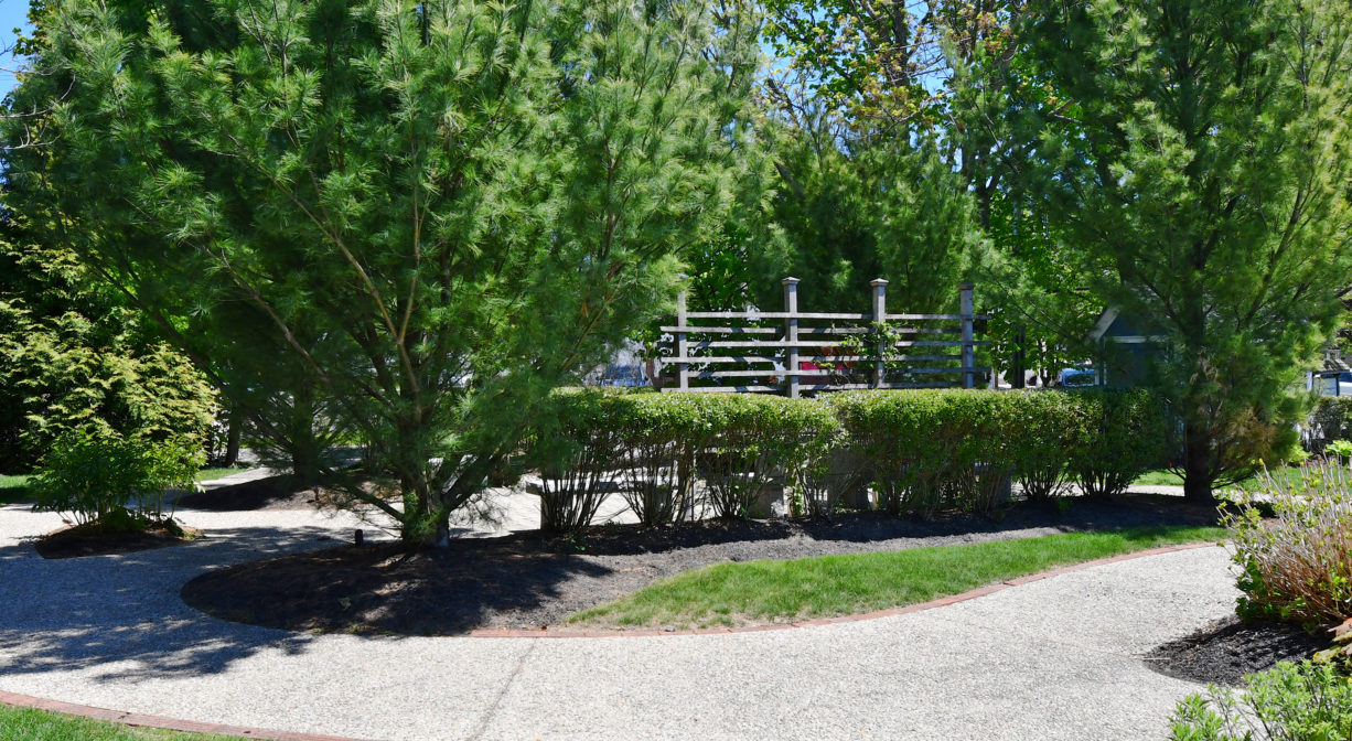
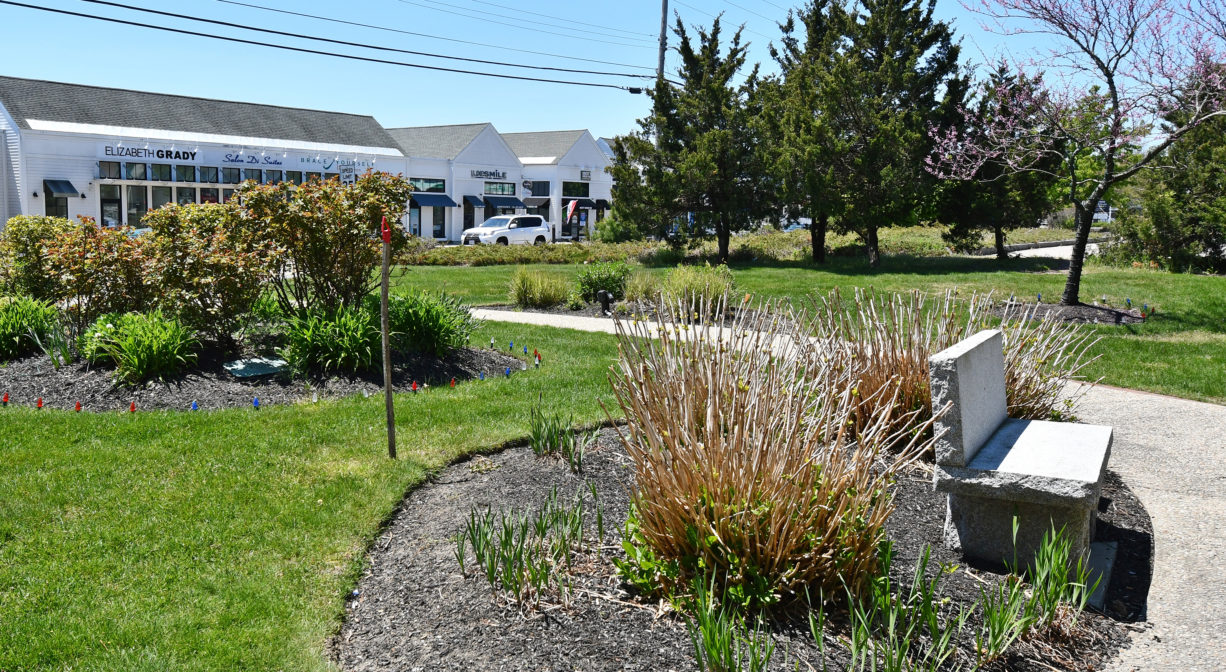
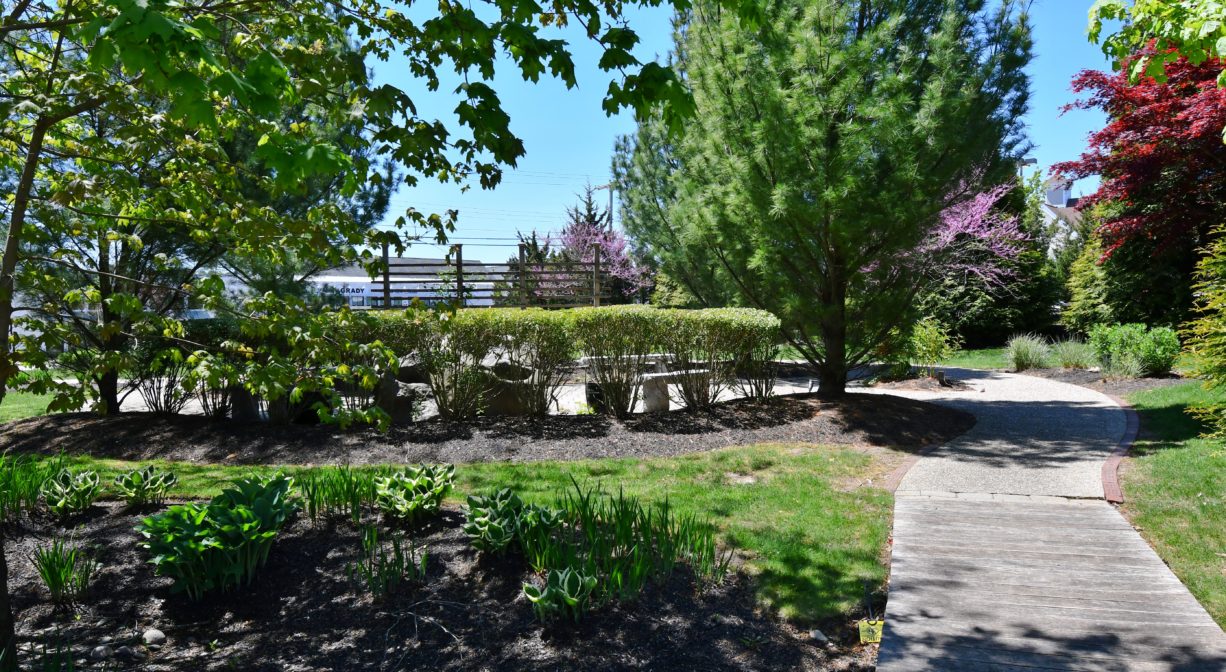
Dandelion Park in Marshfield is a very small green space in the busy downtown area. It is located on the Bridle Path & Rail Trail, a short walk from Keville Footbridge.
Hunting is not allowed at Dandelion Park, nor at any of Marshfield’s other parks and conservation properties.
Features
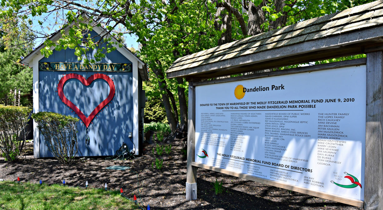
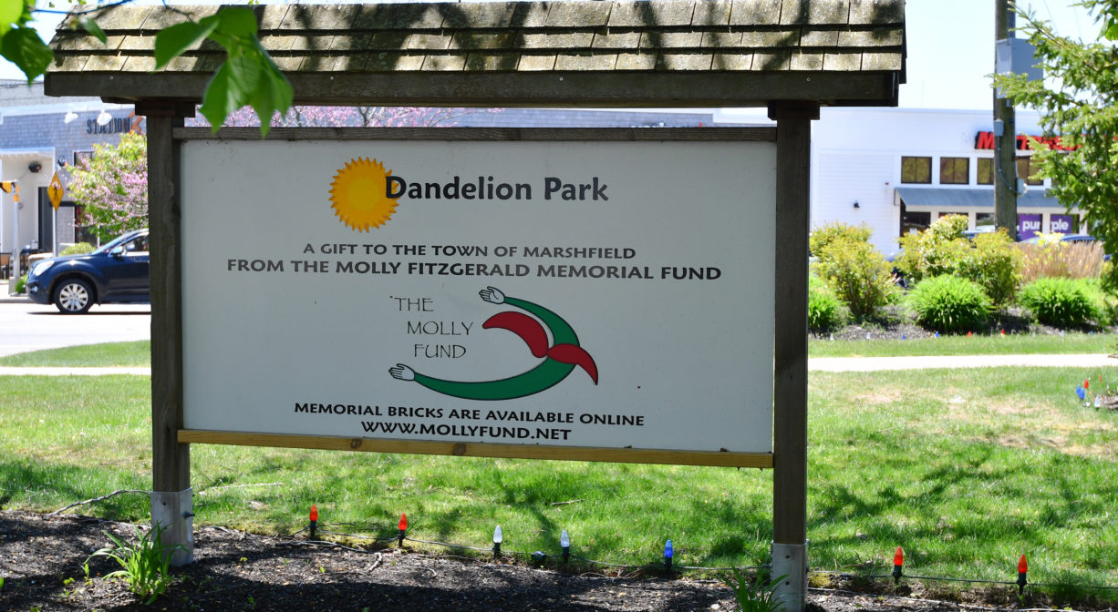
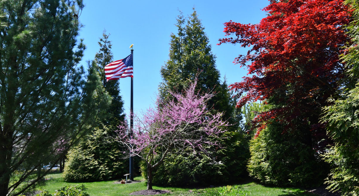
Established on the site of a defunct gas station in the middle of downtown Marshfield, this small but serene park was dedicated in June 2009. It honors Molly Fitzgerald, as well as all other loved ones who were lost too soon. The park is maintained by the Molly Fund and its team of volunteers. The organization hosts community events such as Stories in the Park (a reading program for young children), as well as pumpkin carving at Halloween, and a tree lighting ceremony during the holidays.
This land is within the region of the Massachusett (or Massachuseuk). To learn more about local Native American tribes, we encourage you to interact with their members. The Massachusett tribe at Ponkapoag and the Mattakeeset band of the Massachusett share information on their websites.
Trail Description
There is just 0.1 mile of trail here, but if you continue to the Rail Trail, immediately adjacent, you can walk for 3.4 additional miles north across Marshfield, and/or another 2.5 miles south. The Rail Trail links directly to Pratt Farm and Carolina Hill Reservation, where there are additional trail networks.
Habitats and Wildlife
The South River is a short walk away — about 0.2 miles down the Rail Trail behind CVS, at the Francis Keville Footbridge.
The South River originates deep in Duxbury. Its source is in the Round Pond area, and from there it winds unobtrusively through the woods for several miles. Although one can view it from Route 3, and also from both the South River Bog and the Camp Wing Conservation Area, it remains a narrow and mostly un-navigable stream until just below Veterans Memorial Park. From there it flows through South River Park, behind the playground of South River School, and under the Willow Street and Francis Keville Bridges. Wider at that point, and navigable at most tides, its course winds through the marshes as it runs parallel to Route 139, all the way to Rexhame. From there the river turns northward. It flows for 3 miles between Humarock and the mainland to Fourth Cliff, where it joins the North River at its outlet to the sea.
Historic Site: No
Park: Yes
Beach: No
Boat Launch: No
Lifeguards: No
Size: 0.28 acres
Hours: Dawn to Dusk
Parking: Park in Library Plaza, across the street.
Cost: Free
Trail Difficulty: Easy
Facilities:
Benches and memorials.
Dogs: Dogs must remain on leash. Please clean up after your pet!
Boat Ramp: No
ADA Access: Yes
Scenic Views: Yes
Waterbody/Watershed: South River watershed

