MARS-M05-07, #11A, Marshfield, MA 02050, USA
https://www.marshfieldpolice.org/marshfield-beaches/pages/beach-descriptions
Owned By: Town of Marshfield
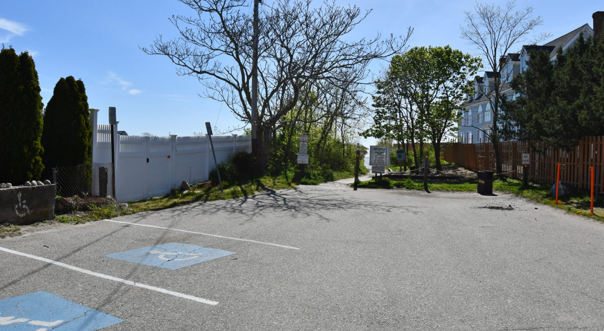
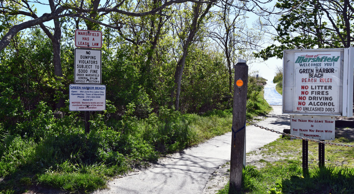
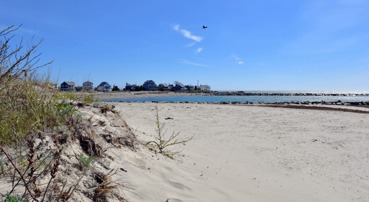
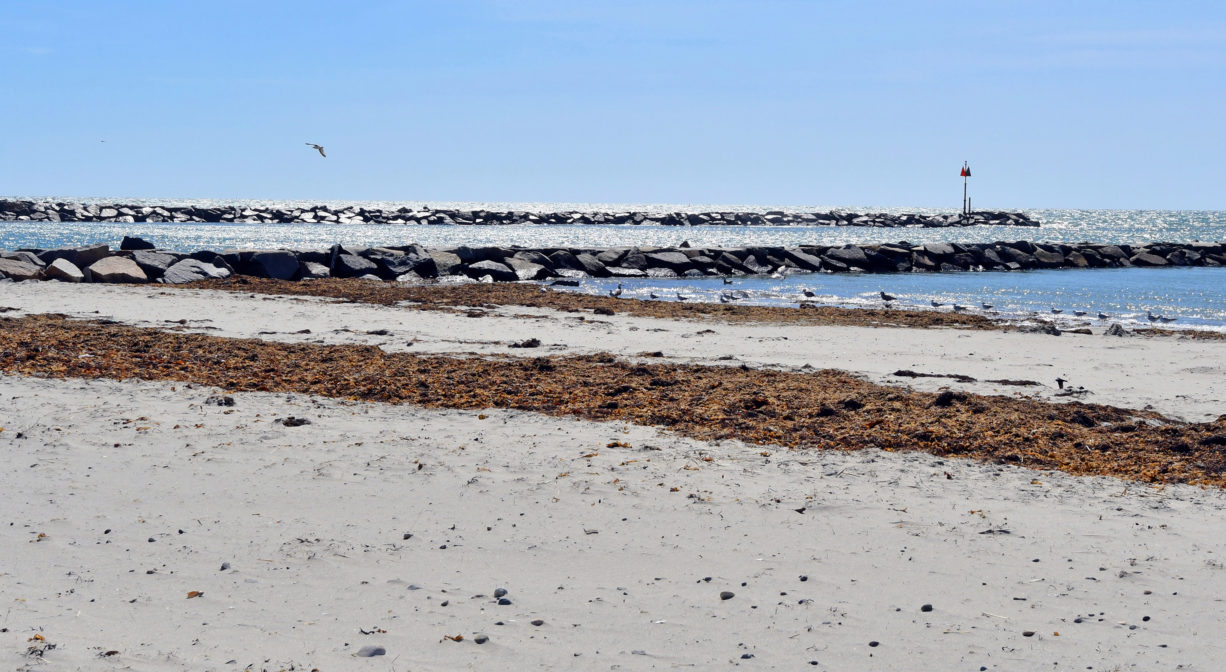
Marshfield’s Green Harbor Beach is a public beach with seasonal lifeguards, portable restrooms and a jetty. It is located located at the end of Beach Street. In season, a Marshfield Beach sticker is required for parking.
Hunting is not permitted on this property.
FISHING ADVISORY: It’s important to know that some of our fisheries are contaminated with mercury, PFAS and/or other concerning substances. The Massachusetts Department of Public Health maintains an online database with up-to-date advisories regarding fish consumption, sorted by location. We recommend you consult this valuable resource when planning a fishing excursion.
Features
This land is within the region of the Wampanoag. To learn more about local Native American tribes, we encourage you to interact with their members. The Mashpee Wampanoag and the Herring Pond Wampanoag share information on their websites.
The following items/activities are prohibited: alcoholic beverages, littering, glass, fires, unleashed dogs, camping, dressing/undressing, power boats, water skiing, jet skiing, diving from jetty. Raft/float use is subject to safety orders from lifeguards.
Trail Description
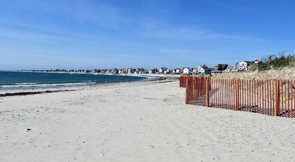
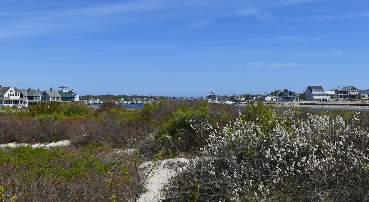
Beach access on the southern end is very limited during higher tides. There is a jetty on the northern end of the beach with views of a long stretch of beach, as well as the channel to Green Harbor itself. Green Harbor Beach is contiguous with Duxbury Beach, so this is a great place for a long walk along the shore!
Habitats and Wildlife
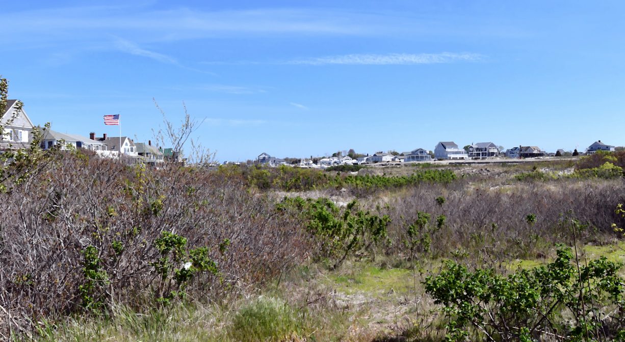
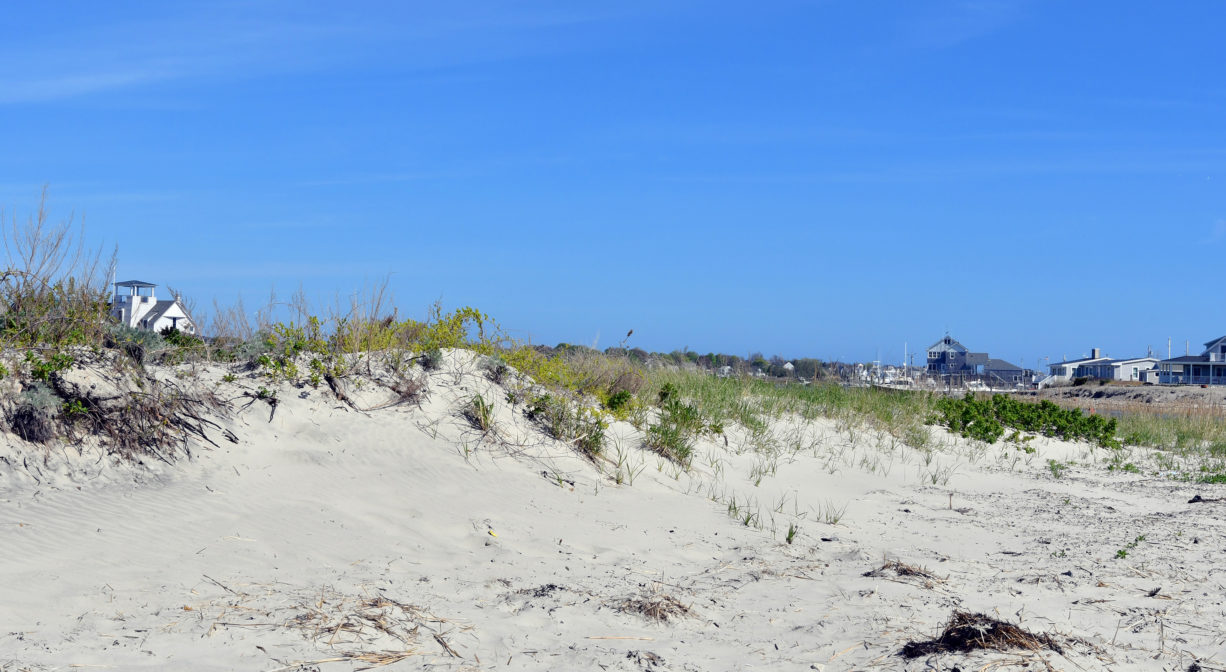
A sandy beach on the Atlantic Ocean, overlooking Cape Cod Bay and contiguous with Duxbury Beach. Located just south of the entrance to Green Harbor itself.
Two rivers flow into the harbor at Green Harbor:
• The Cut River is a manmade channel that connects to Duxbury Bay via a network of marsh creeks. The best place to view the Cut River is from the bridge on Beach Street, a popular spot for swimming (and bridge-jumping) during high tides.
• The Green Harbor River finds its source in springs and ponds in Duxbury. It twists and turns through Marshfield via large cranberry bog complex, the Green Harbor Golf Club, the Daniel Webster Wildlife Sanctuary, property owned by the Marshfield Municipal Airport and Peter Igo Park. Just downstream of the Dyke Road bridge (and dike) it flows into the Atlantic Ocean at Green Harbor. Two excellent places to view the river are from the Dyke Road bridge (along the Harbor Walk) and from the dock at Peter Igo Park, where you can also launch non-motorized watercraft such as canoes, kayaks, paddle boards and even rowing shells!
Historic Site: No
Park: No
Beach: Yes
Boat Launch: No
Lifeguards: Lifeguards in season: Memorial Day to Labor Day, 9:30am-4:30pm
Hours: Dawn to Dusk
Parking: Resident sticker parking in season, in town lots on Avon Street (10am-4pm), Green Harbor Post Office (Beach Street, 10am-4pm), and Beach Street extension. No fee for off-season parking.
Cost: Beach access is free. Parking requires a sticker.
Trail Difficulty: Easy
Facilities:
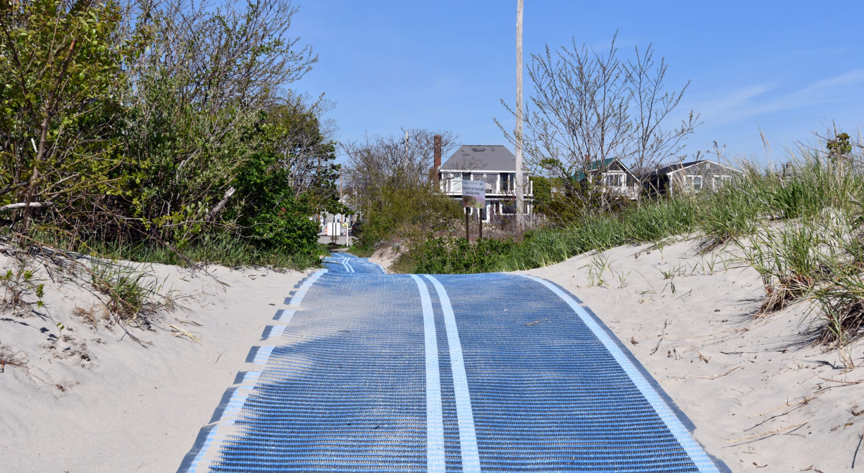
Seasonal lifeguards and porta-potties. A walking mat improves access over the sand.
Dogs: Dogs must remain on leash. Please clean up after your pet!
Boat Ramp: No
ADA Access: Yes, via seasonal access mat and boardwalk at Beach Street extension
Scenic Views: Yes
Waterbody/Watershed: Cape Cod Bay /Atlantic Ocean


