
681 Center St, Hanover, MA 02339, USA
Owned By: Town of Hanover
Accessible from the Hanover Senior Center, this half-mile loop trail features boardwalks and old stone walls, plus access to Torrey Brook. It is part of a larger (3-mile) trail network that extends to Tindale Bog, the Nava-Stasiluk Conservation Area, and the Myrtle Street Fields/Ceurvels Park.
Hunting is not permitted on this property.
Features
Check out the large rocky outcropping on the east side of the Senior Center building.
For thousands of years, the land that encompasses what is now Hanover was inhabited by indigenous people. Circa 1617, there was a major outbreak of disease from European settlers that decimated an estimated 90% of the native population in New England, including the Massachusett and Wampanoag tribes that inhabited this area. There are still descendants of these original inhabitants living on the South Shore today, and they are known as the Mattakeesett Tribe of the Massachusett Indian Nation, the Massachusett Tribe at Ponkapoag, the Herring Pond Wampanoag, and the Mashpee Wampanoag Tribe.
Trail Description
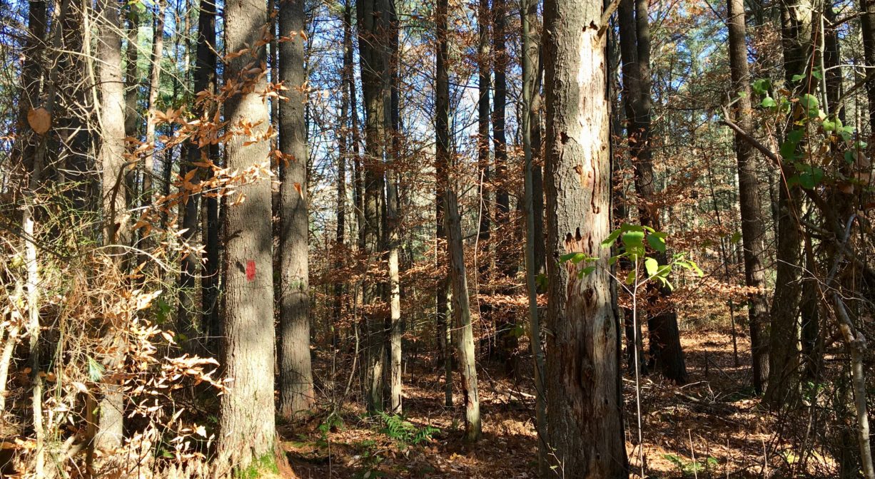
The loop trail through the woods around the Hanover Senior Center is marked with red Hanover Conservation blazes. The trail is narrow and traverses some wetlands. The green-blazed trail off the northern part of the loop leads to Torrey Brook and provides access to the Nava-Stasiluk Conservation Area and Myrtle Street Field, and onward to Tindale Bog. Bring a map!
Habitats and Wildlife
The woods here are primarily pine, with oak, beech, birch and maple and lots of fern. One of the stone walls on the property includes a large quartz.
Torrey Brook, a tributary to the Drinkwater River, flows through the property, as does a smaller stream that leads to Torrey Brook. According to Martha Campbell’s Remembering Old Abington, the name “Drinkwater River” is said to be an Anglicized version of the original Native American name for the stream, Nannumackeuitt, “which meant that a hollow stem had to be used as a straw when sucking up water from this shallow, sluggish stream.”
Drinkwater River is a major source of the Indian Head River. The Indian Head forms the boundary between Hanover and Hanson, and merges with Pembroke’s Herring Brook, a short distance downstream of Ludden’s Ford Park, to form the North River at a spot called The Crotch. The North River flows 12 miles through Pembroke, Hanover, Norwell, Marshfield and Scituate, eventually making its way to Massachusetts Bay and the Atlantic Ocean.


Historic Site: No
Park: No
Beach: No
Boat Launch: No
Lifeguards: No
Size: 101 acres (when combined with Nava-Stasiluk Conservation Area and Tindale Bog)
Hours: Dawn to Dusk
Parking: Park at the Hanover Senior Center (665 Center Street), at Myrtle Field, or near the trailhead on Samoset Drive. Additional parking at the Nava-Stasiluk Conservation Area near 526 Center Street.
Cost: Free
Trail Difficulty: Easy
Facilities:
Bridges and boardwalks in the wetland areas.
Dogs: Dogs must remain on leash. Please clean up after your pet!
Boat Ramp: No
ADA Access: No
Scenic Views: Yes
Waterbody/Watershed: Torrey Brook (North River watershed)