
37 Deerfield Ln, Hanover, MA 02339, USA
Owned By: Abington Rockland Joint Water Works
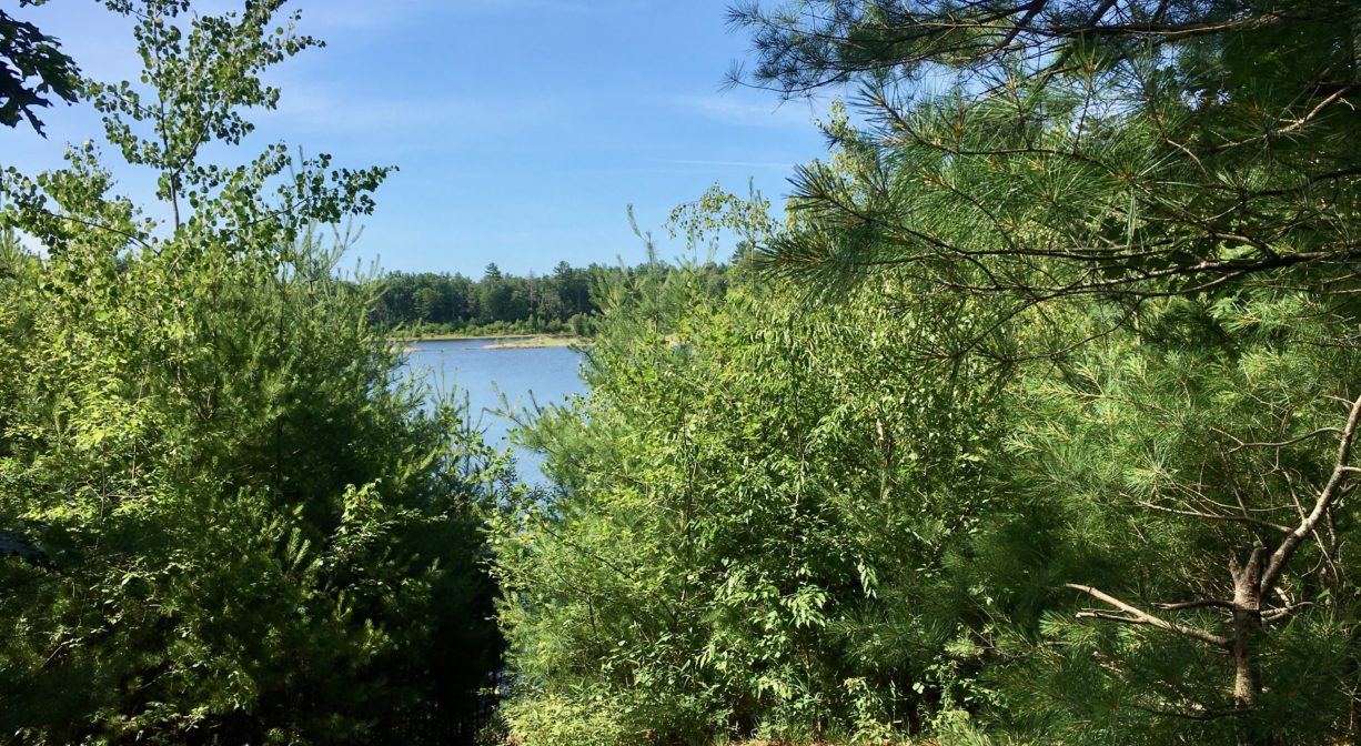
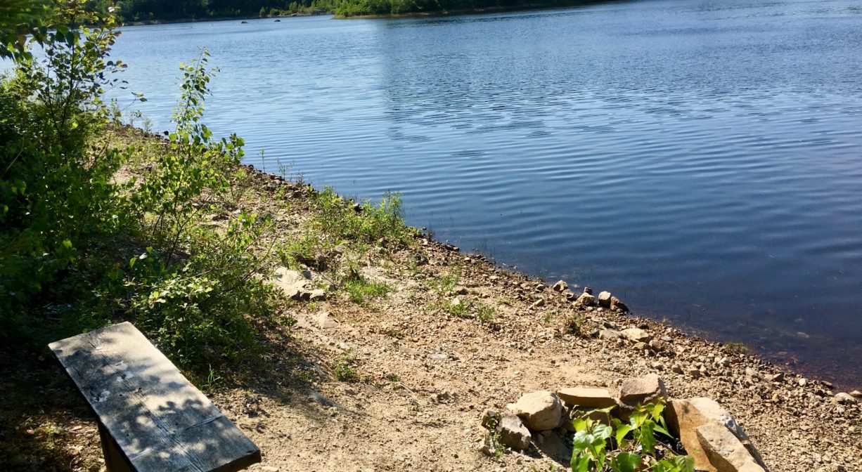
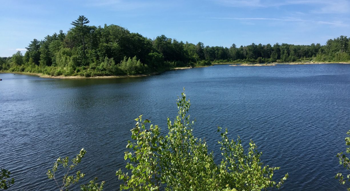
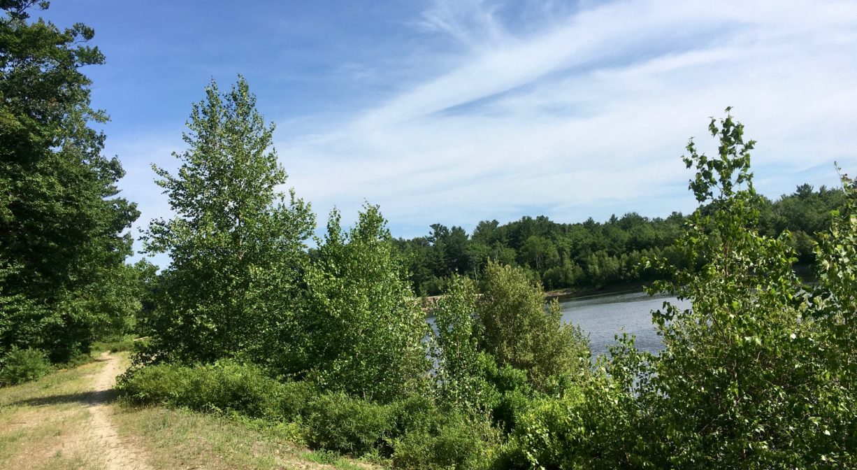
The Hingham Street Reservoir is a picturesque public water supply surrounded by a 1.5-mile trail. Also known as the Abington/Rockland Reservoir, it is located on the Hanover/Rockland line. This is a public water supply, so swimming, fishing and boating are not permitted.
Hunting is not permitted on this property.
Features
Yes, the name is confusing! Look at it this way: the reservoir — which supplies water to the towns of Abington and Rockland — is located on Hingham Street in Rockland, but the trail access is in Hanover. Access from the John Hannigan Water Treatment Plant in Rockland is not permitted.
The Abington/Rockland Joint Water Works was founded in 1885. A year later, the organization gained the water rights to Great Sandy Bottom Pond in Pembroke, and undertook the task of constructing 25 miles of water mains in Abington and Rockland, 182 hydrants, as well as two pumping stations — one at the pond, and one on Beech Hill. Initially the system would deliver about 1.5 million gallons of water per day. Each town has its own water delivery system. The Hingham Street Reservoir was developed next, on the Hanover/Rockland town line. This manmade body of water is likely to be expanded. The John Hannigan Water Treatment Plant services the reservoir.
This land is within the region of the Massachusett (or Massachuseuk). To learn more about local Native American tribes, we encourage you to interact with their members. The Massachusett tribe at Ponkapoag and the Mattakeeset band of the Massachusett share information on their websites.
Trail Description
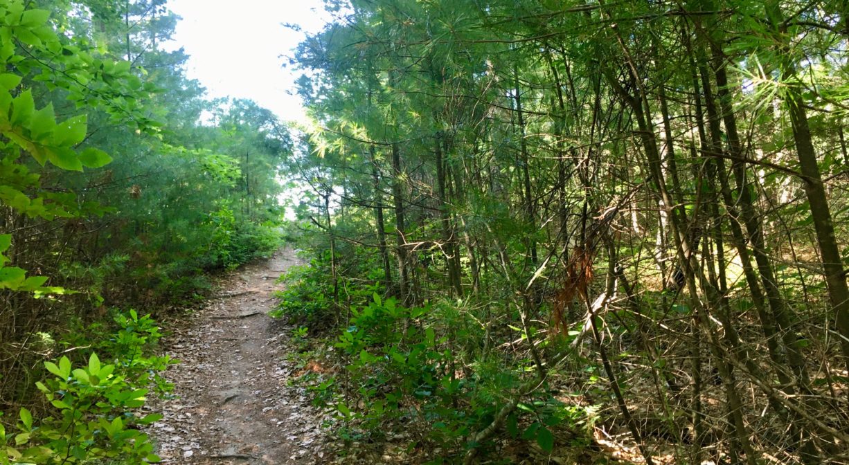
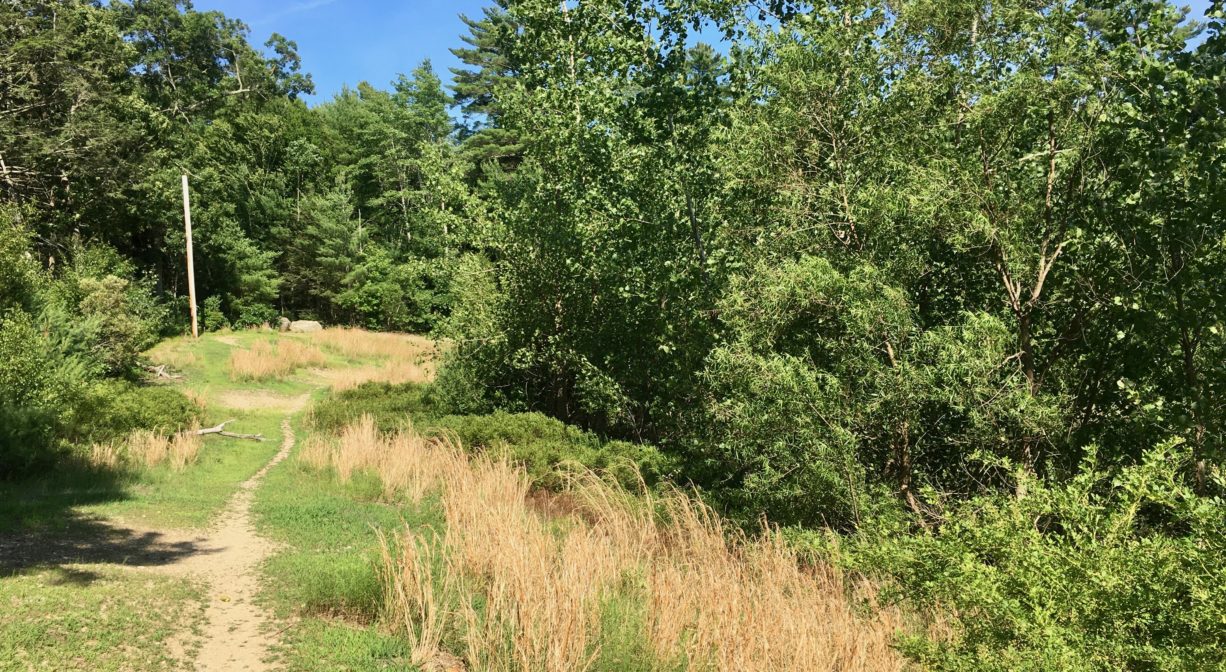
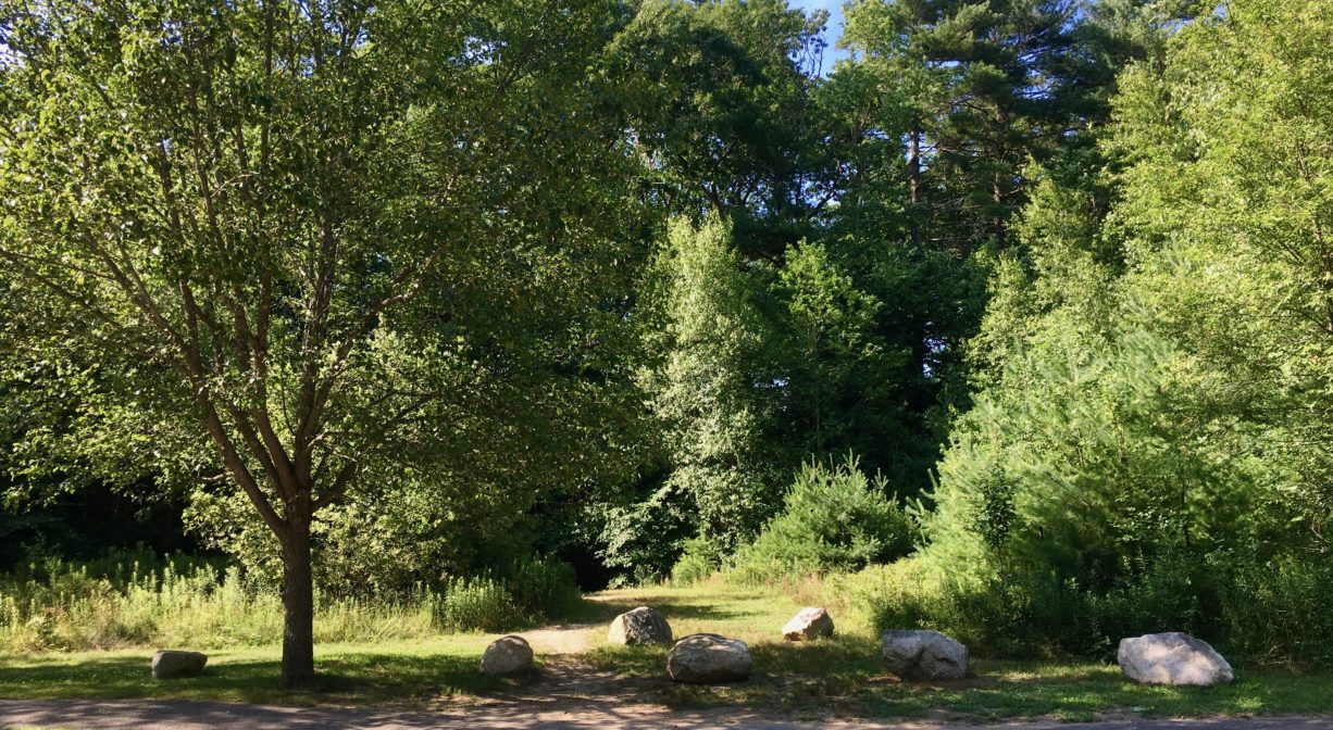
Access the trail from Deerfield Lane in Hanover. If you’re driving in from Whiting Street, look for the trailhead on the right, just before Deerfield Lane makes a sharp curve to the left. Park along the side of the road and look for the trailhead. It passes quickly through a woodland and out to the reservoir, where it extends around the perimeter. The trail is mostly level and clear. It is bordered by young pine, birch and maple trees, and an abundance of sweet pepper bush. Along the trail, you’ll find occasional boulders and outcroppings of rock, which generally offer the best views of the water.
Habitats and Wildlife
This manmade reservoir is bordered by young pine, maple and birch trees, and an abundance of sweet pepper bush. Other trees observed on site include hemlock, oak and beech.
Ben Mann Brook runs through the property. It is a tributary to the Drinkwater River. According to Martha Campbell’s Remembering Old Abington, the name “Drinkwater River” is said to be an Anglicized version of the original Native American name for the stream, Nannumackeuitt, “which meant that a hollow stem had to be used as a straw when sucking up water from this shallow, sluggish stream.”
The Drinkwater River joins with French’s Stream to form the Indian Head River, which in turn joins with Herring Brook to form the North River.
The North River flows 12 miles through Pembroke, Hanover, Norwell, Marshfield and Scituate, eventually making its way to Massachusetts Bay and the Atlantic Ocean.
Historic Site: No
Park: No
Beach: No
Boat Launch: No
Lifeguards: No
Hours: Dawn to Dusk
Parking: Roadside parking on Deerfield Lane in Hanover.
Cost: Free
Trail Difficulty: Easy
Dogs: Dogs must remain on leash or under control at all times. Please clean up after your pet!
Boat Ramp: No
ADA Access: No
Scenic Views: Yes
Waterbody/Watershed: Ben Mann Brook (North River watershed)