129 Washington St, Hanover, MA 02339, USA
Owned By: Wildlands Trust
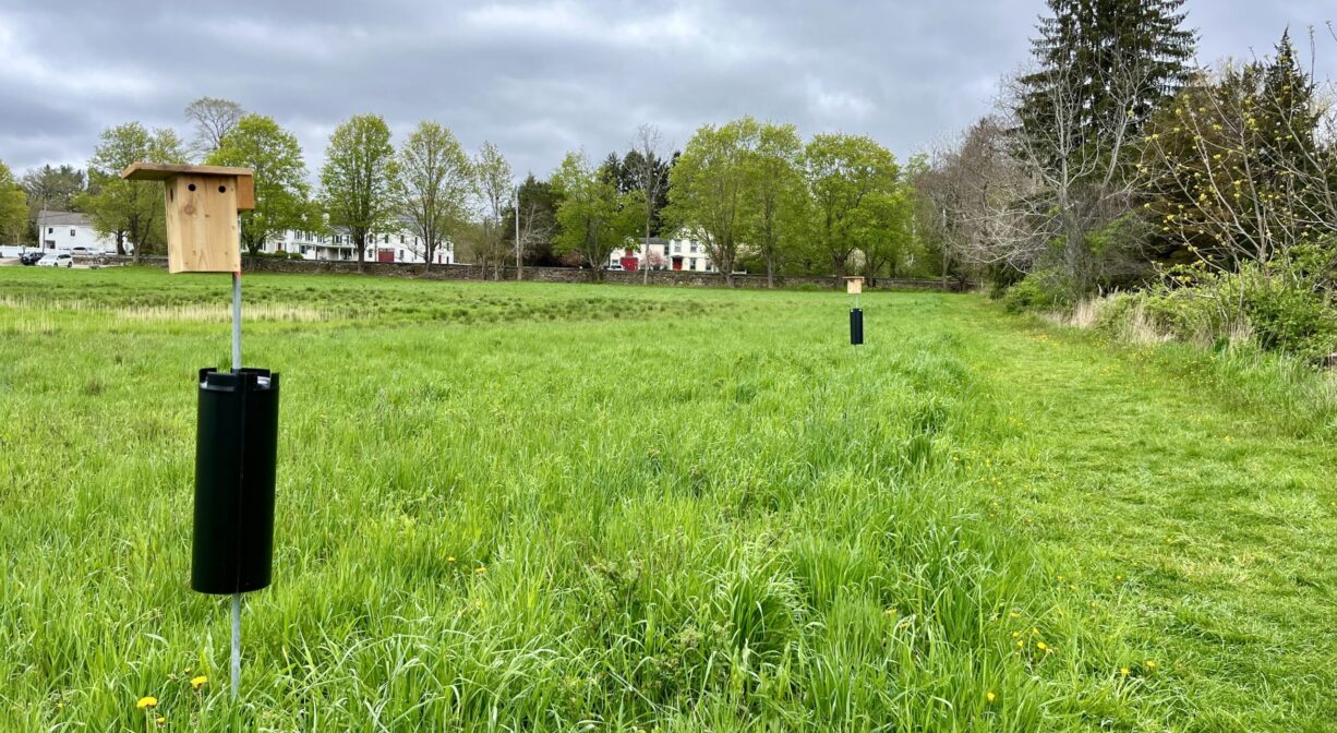
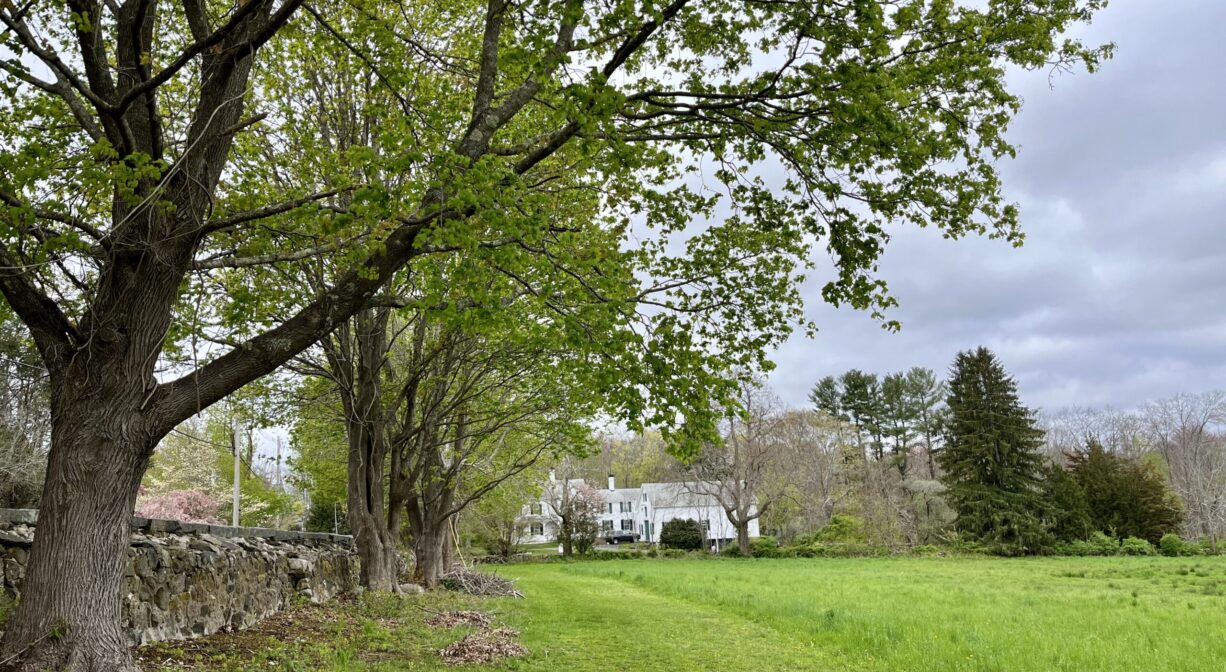
Historic Sylvester Field features a 0.5-mile trail along the edge of a large meadow, leading to short loop and a scenic spot on Third Herring Brook. An additional trail continues up the opposite edge of the property to the parking area, with a short boardwalk over a wetland area. After centuries of agricultural use, this beautiful and historic property in Hanover Four Corners was preserved in 2021 by the Wildlands Trust and the Town of Hanover. It is bordered on two sides by stone walls.
For up-to-date information and real time trail conditions, visit wildlandstrust.org/trails
Features
According to the Wildlands Trust, Sylvester Field last belonged to the Estate of Clayton Robinson, and was known to many locals as Robinson Field. Robinson’s next of kin made an enormous effort to preserve the field, and negotiated a very fair price for Wildlands Trust to purchase it. In addition, in May 2021, Hanover Town Meeting approved a Community Preservation Committee (CPC) article that allocated $250,000 to purchase a conservation restriction on the property, to ensure its permanent protection.
In 2022, 5 additional acres in Norwell, directly across Third Herring Brook, were added to the preserve.
The Wildlands Trust also shares this history: “Long before European arrival, Native Americans occupied the area, including the field, which lies at a strategic location near the confluence of Third Herring Brook and the North River. In the mid-1600s, it was owned by William Barstow, who is believed to be the first European settler in the area.” (He also built the first iteration of the Washington Street Bridge on the North River.)
Wildlands Trust adds, “(Sylvester Field) later became part of a larger farm, changing hands to the Stockbridge family and then the Sylvester Family. When the Sylvester family sold much of the farm in the 1940s, Betsey (Sylvester) Robinson purchased this parcel to save it from development. The land continued to be used for agricultural purposes for many years, including the grazing of Hornstra Farms cows and the production of hay, before settling into its latest role as a scenic resource for the community.”
This land is within the region of the Massachusett (or Massachuseuk). To learn more about local Native American tribes, we encourage you to interact with their members. The Massachusett tribe at Ponkapoag and the Mattakeeset band of the Massachusett share information on their websites.
Trail Description
A 0.5-mile trail extends from the parking area, along one side of the field, and into a small grove of pine trees at the edge of Third Herring Brook with a short loop. An additional trail continues up the opposite edge of the property to the parking area, with a short boardwalk over a wetland area.
Habitats and Wildlife
Sylvester Field is surrounded by maple and pine trees, and has 660 feet of frontage of Third Herring Brook, just upstream of its confluence with Copeland Tannery Brook. A small stream runs along one side of the field. The property includes areas of state-designated Prime Farmland Soils and is home to MA Natural Heritage and Endangered Species Program-identified Core Habitats.
Thanks to 3 recent dam renewals upstream of this property, we are watching Third Herring Brook closely with the hope of seeing brook trout and river herring return to their now-restored habitat.
Third Herring Brook is a major tributary to the North River. Its headwaters are located north of Jacobs Pond in Norwell, in the southern portion of Valley Swamp. Third Herring Brook exits the pond from the southern side, at the dam. (Watch for a fish ladder here in the future!) The brook forms the border between Norwell and Hanover, and flows past Historic Sylvester Field, and into the North River downstream of the old stone bridge on Washington Street.
Between Jacobs Pond and Historic Sylvester Field, there aren’t many public places to view Third Herring Brook, but it’s exciting to imagine everything that has been happening there lately! Since 2014, NSRWA has worked with federal, state, and local officials to remove three dams from the brook. As a result, water quality has improved and wildlife habitat has been restored. All three dams were originally constructed to provide water power to sawmills.
• The Mill Pond Dam, located behind today’s Hanover YMCA, was operated by the Clapp family. It was removed in 2014.
• The Tack Factory Pond (or Tiffany Pond) Dam, located on Cardinal Cushing School property, was established in the 1670s by Charles Stockbridge for a grist mill. Later Recompense Tiffany took over operations, and the mill pond was named for him. In 1834, Zephaniah Talbot and Samuel Salmond established a tack factory on site. The factory building remained in use into the 20th century. According to Joseph Merritt’s History of South Scituate-Norwell, Samuel Salmond Sylvester owned it in 1938. The factory burned down in 1983, and the dam was removed in 2016.
• The Peterson Pond Dam, located behind the former (1976-2016) site of the Hanover Mall Cinema, was established by the Curtis family c. 1692. According to John S. Barry’s History of Hanover, in later years it was owned by T. J. Gardner and then Samuel H. Church. It was removed in 2020.
• There was also a sawmill at Jacobs Pond, operated by the Jacobs family. The dam is still in place, and unlikely to be removed, but we are working with federal, state and local officials to install a fish ladder there.
Historic Site: No
Park: No
Beach: No
Boat Launch: No
Lifeguards: No
Size: 24.75 acres
Hours: Dawn to Dusk
Parking: On-site 3-car parking lot
Cost: Free
Trail Difficulty: Easy
Facilities:
Informational kiosk, benches.
Dogs: Dogs must be kept under control. Please clean up after your pet!
Boat Ramp: No
ADA Access: No
Scenic Views: Yes
Waterbody/Watershed: Third Herring Brook (North River)


