471 Mattakeeset Street, Pembroke, MA
Pembroke Conservation: 781-293-4674
Owned By: Town of Pembroke
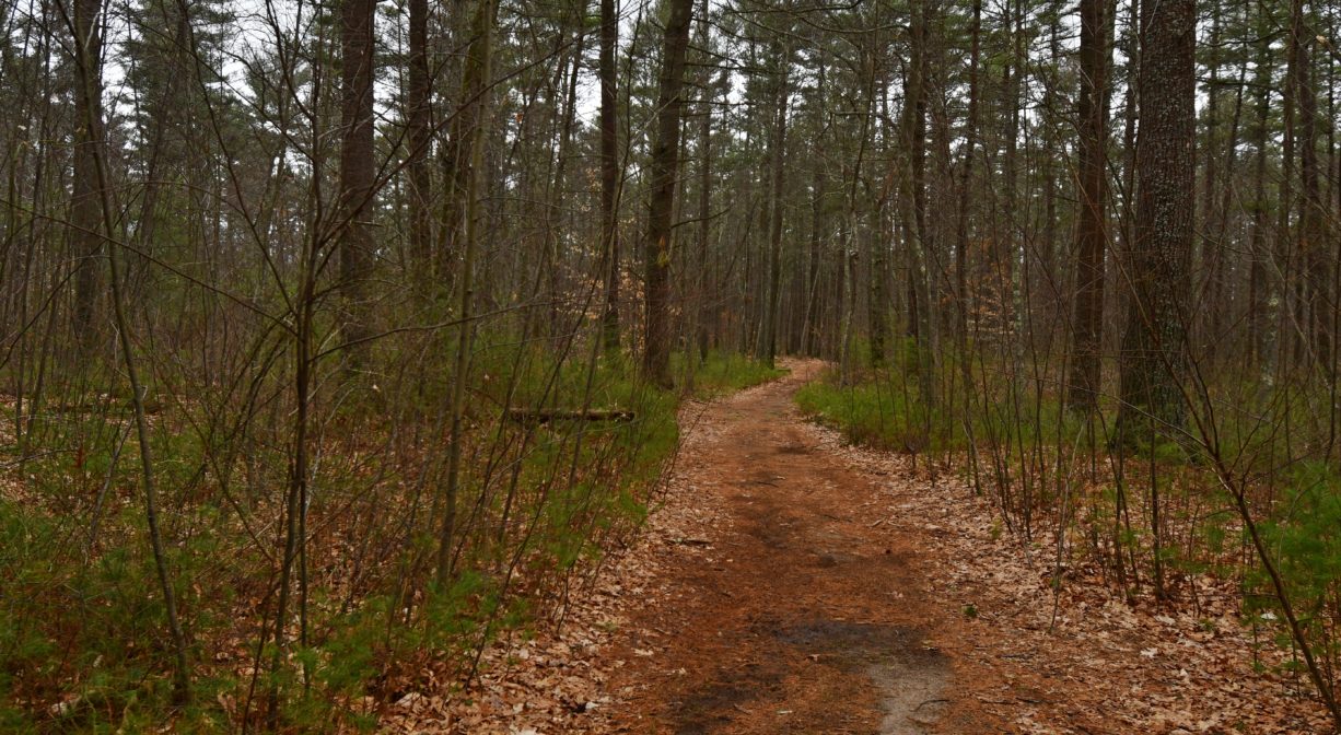
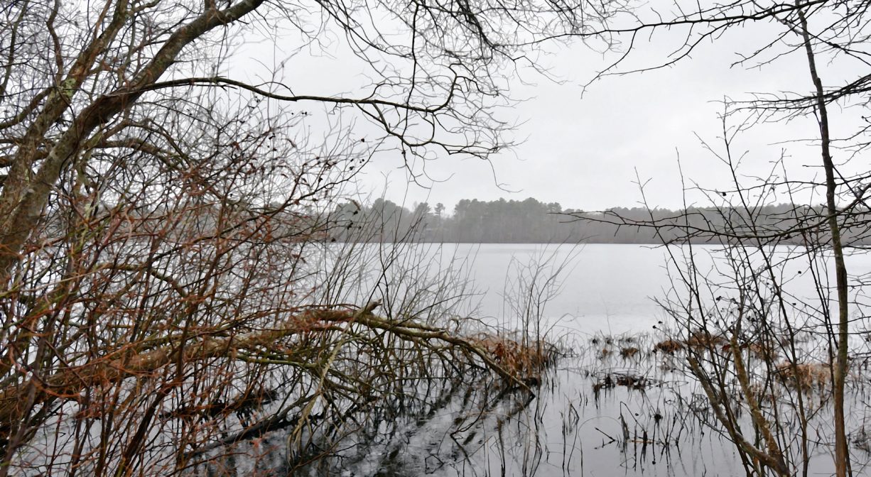
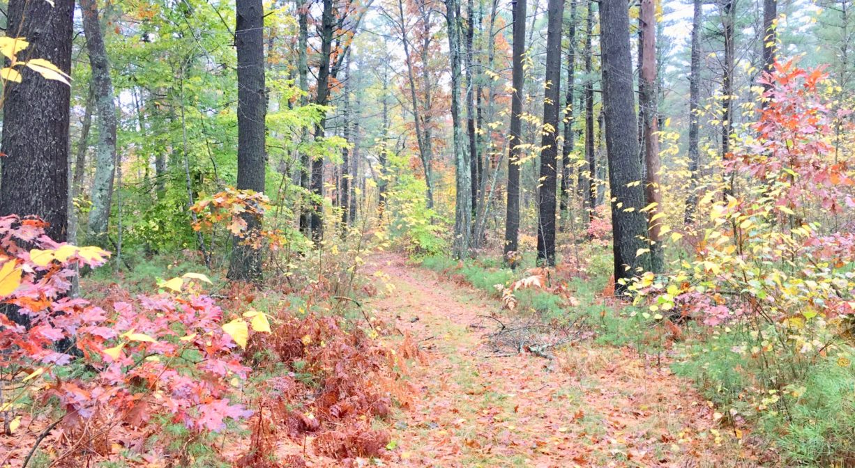
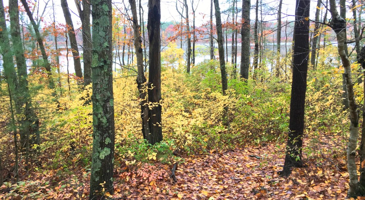
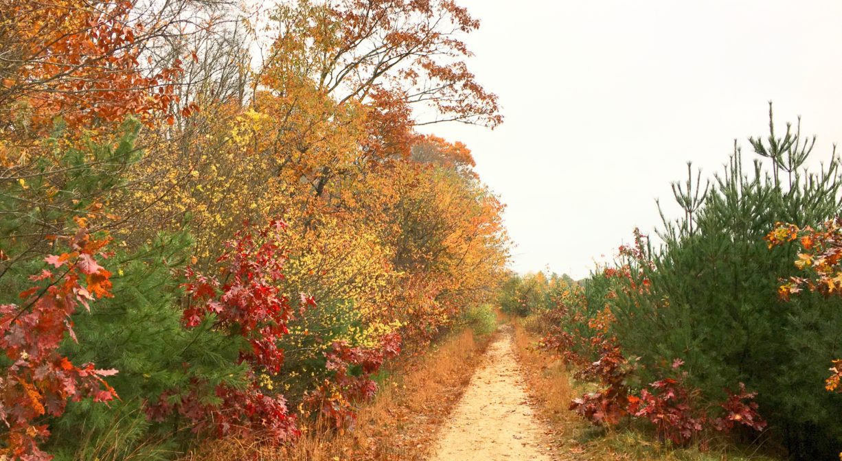
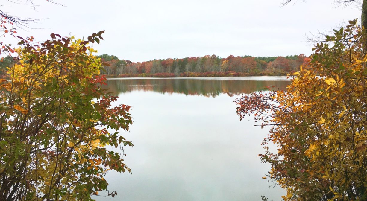
Pembroke’s 139-acre J.J. Shepherd Memorial Forest features at least 2 miles of woodland trails that extend along the shore of Indian Head Pond and through the retired Andruk cranberry bog. There are also some wetlands on site. Contiguous with the Alton J. Smith Reserve and Sleeper Conservation Area in Hanson. A section of the Bay Circuit Trail extends through this property.
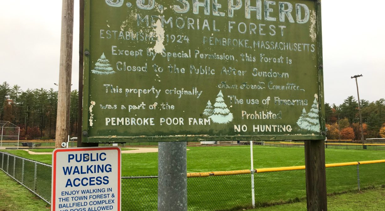
Hunting is not allowed on this property.
Features
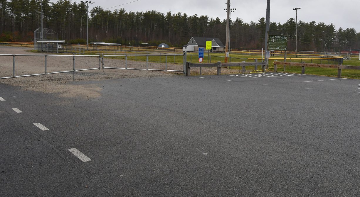
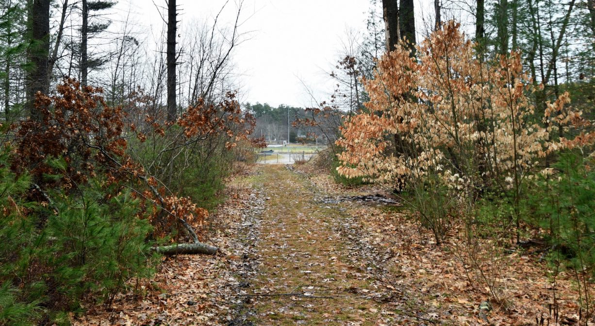
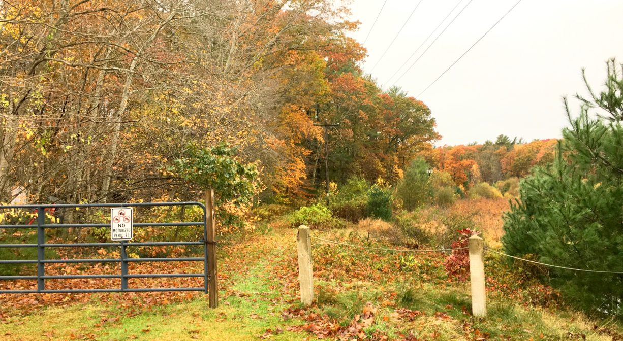
Arriving at this property you will only see athletic fields. Continue toward the woods past the fields to find the woodland trails of the J. J. Shepherd Memorial Forest, which was originally established in 1924. Several miles of trails lead through the forest and around wetlands. Additional trails extend around the Andruk cranberry bogs.
Hunting and firearms are prohibited.
This land is within the region of the Massachusett (or Massachuseuk) Native American tribe. The Mattakeeset band of the Massachusett lived for thousands of years in the North River watershed. Their village included most of today’s Pembroke and Hanson.
To travel between the North River watershed and the Taunton River watershed, the Mattakeeset followed a trail that extended from today’s Indian Head Pond (just around the corner from the JJ Shepherd Forest) to Crooker Place and today’s Indian Crossway Conservation Area, through the great Cedar Swamp (today’s Burrage Pond Wildlife Management Area), through today’s Smith-Nawazelski Conservation Area (Elm Street, Hanson) to East Bridgewater and the Taunton River watershed.
Please bear in mind that Native American cultures often favor oral histories to written ones. Much of what’s recorded about the history of the South Shore is from the perspective of European settlers. It’s not the whole story. To learn more about local Native American tribes, we encourage you to interact with their members. The Massachusett tribe at Ponkapoag and the Mattakeeset band of the Massachusett share information on their websites.
Trail Description
Primary trail access is from the large on-site parking area. Additional access from an unpaved pull-off between Great Sandy Bottom Pond (across the street from the trailhead) and #365 Mattakeesett Street, or from a small parking area on Maquan Street.
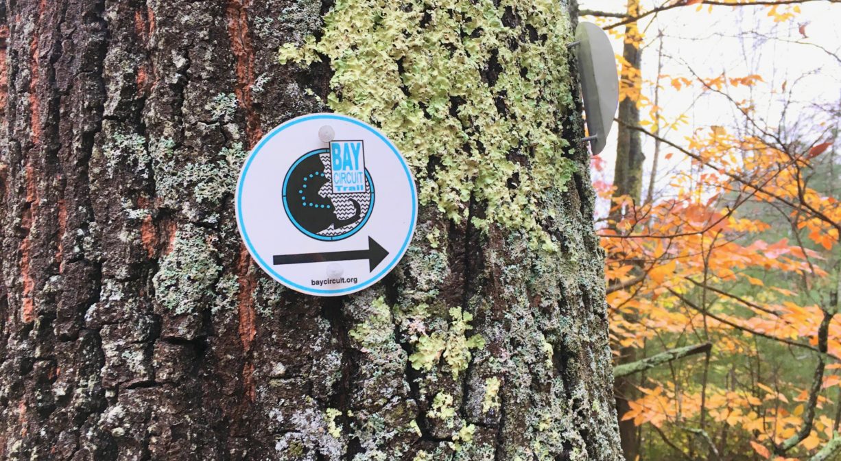
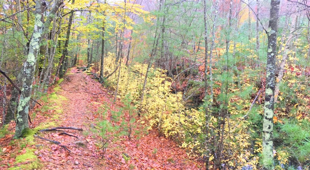
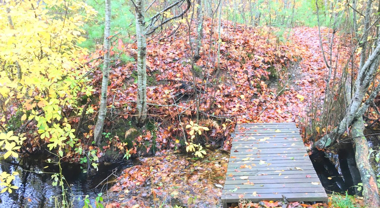
This property features numerous intersecting trails through woods and wetlands, and around a retired cranberry bog. Many of the trails wide and flat, but some are narrower and more difficult. One trail offers pedestrian access to Indian Head Pond. Another trail, marked with white blazes, is part of the Bay Circuit Trail. It connects to the Alton J. Smith Reserve and the Sleeper Conservation Area in Hanson. The Bay Circuit Trail is 200 miles of linked green space from Plum Island in Newburyport to Bay Farm in Duxbury. This particular section is known as the Mattakeeseett Path.
Habitats and Wildlife
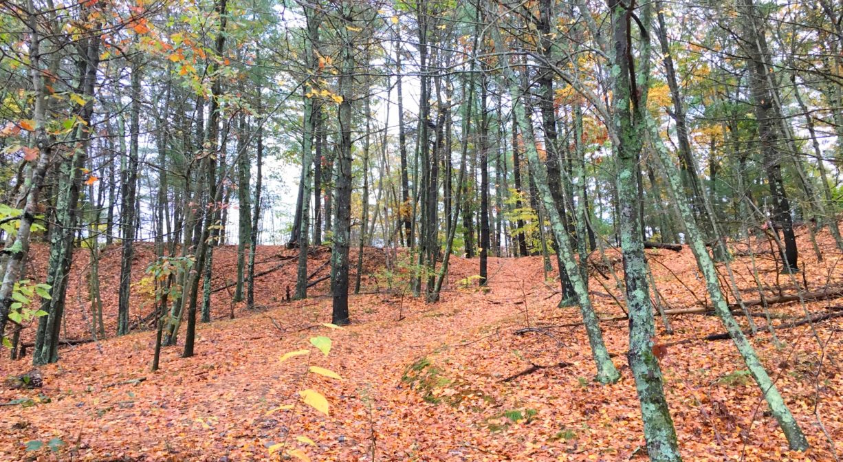
The woods at this property are mostly pine, with some oak, birch, maple, beech, sumac, and sassafras, plus ferns, greenbrier, and sweet pepper bush. Along the trail, look for small outcroppings of quartz. There is also a small wetland toward the rear of the property.
The headwaters of Indian Head Brook are located on this property. Indian Head Brook flows north from Indian Head Pond, through Wampatuck Pond and Little Cedar Swamp, into the Indian Head River.
The Indian Head River forms the boundary between Hanover and Hanson, and merges with Pembroke’s Herring Brook, a short distance downstream of Ludden’s Ford Park, to form the North River at a spot called The Crotch. The North River flows 12 miles through Pembroke, Hanover, Norwell, Marshfield and Scituate, eventually making its way to Massachusetts Bay and the Atlantic Ocean.
Historic Site: No
Park: No
Beach: No
Boat Launch: No
Lifeguards: No
Size: 139 acres
Hours: Dawn to Dusk
Parking: Ample on-site parking at 471 Mattakeeset Street, Pembroke.
Cost: Free
Trail Difficulty: Easy, Medium
Facilities:
Porta-potties adjacent to the athletic fields. Geocache location.
Dogs: Dogs are permitted on the trails, but not on the athletic fields. Dogs must remain on leash or under immediate and effective control of the handler. Please clean up after your pet!
Boat Ramp: No
ADA Access: No
Scenic Views: Yes
Waterbody/Watershed: Indian Head Brook (North River watershed)


