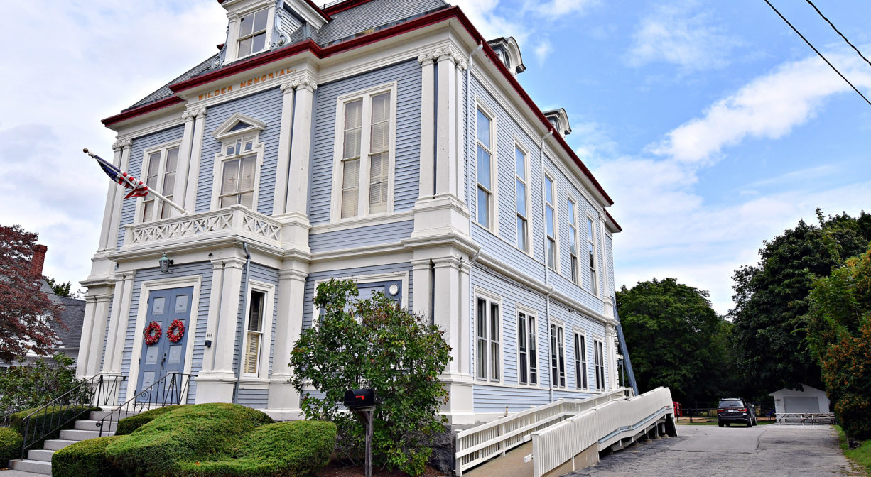
666 Main St, Hingham, MA 02043, USA
Hingham Conservation: 781-741-1445
https://hinghamlandtrust.org/jacobs-meadow/
Owned By: Hingham Conservation Land Trust
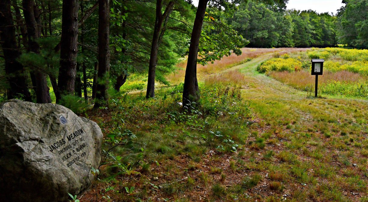
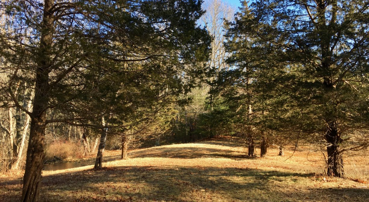
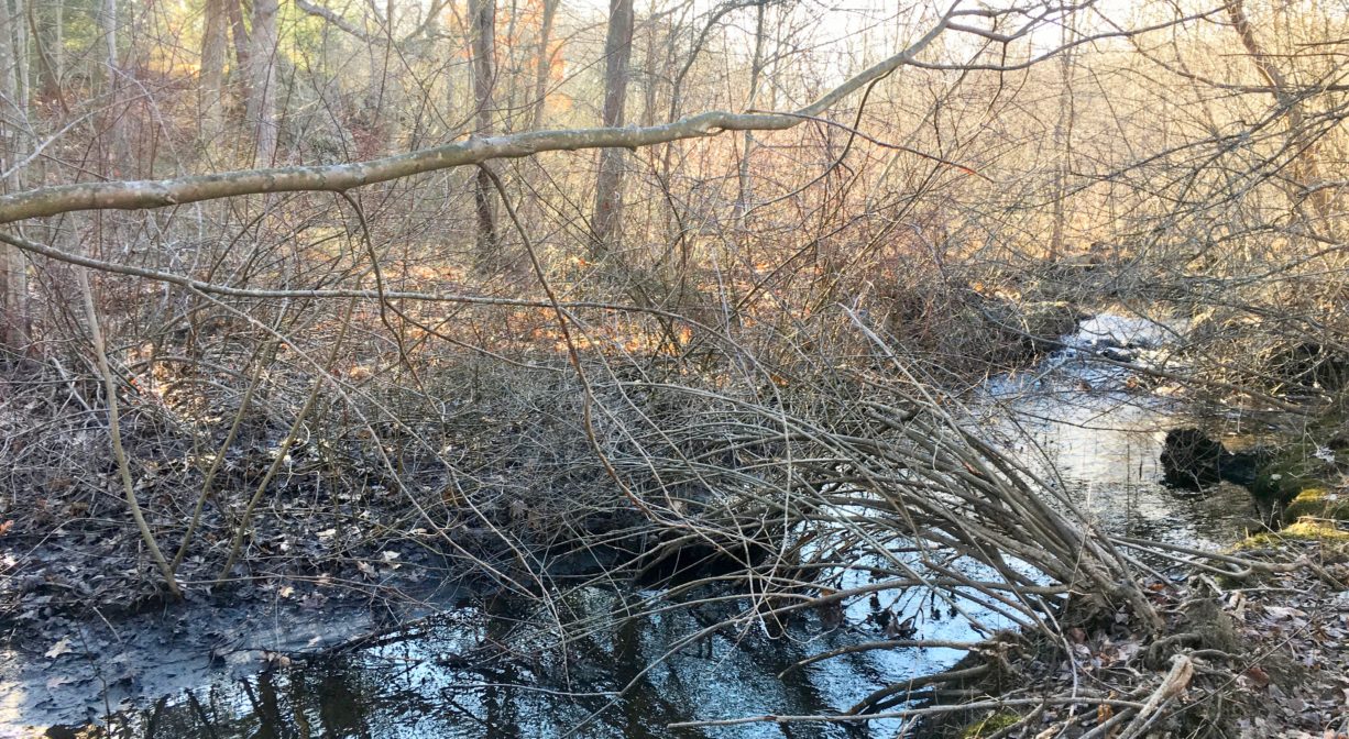
Jacobs Meadow in Hingham features 1.8 miles of trails through woodlands and meadows, with several old stone walls, plus a view of Fulling Mill Brook. The property is directly adjacent to Lehner Conservation Area, connected by a trail.
Access to Jacobs Meadow is limited on school days. Please visit this property on weekends, and when the school at its entrance gate is not in session (late afternoon, holidays, summer).
Features
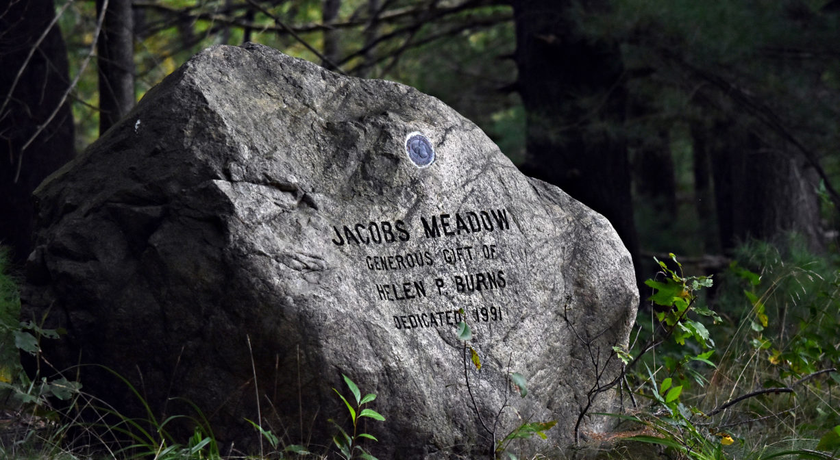
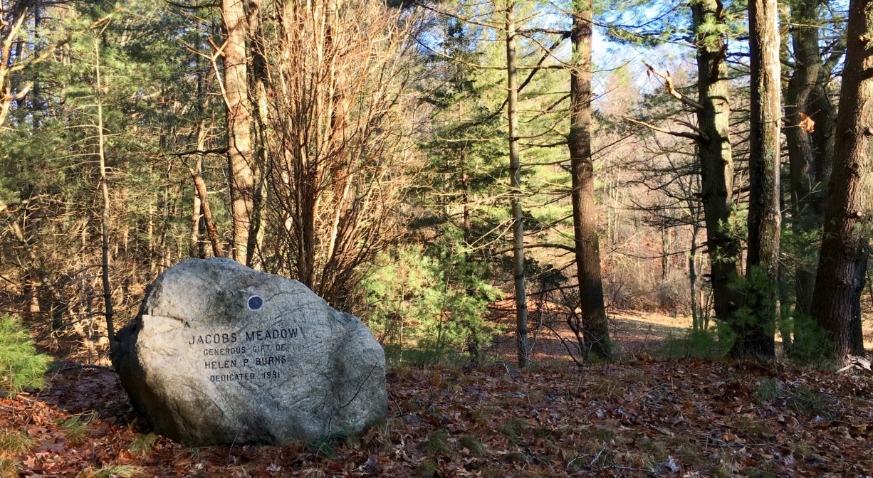
Most of this property was donated to the Town of Hingham, and to the Hingham Conservation Land Trust, by Helen Burns. The town purchased additional acreage from abutters. Additional land donors include the Goodlatte Family, Richard & Virginia Kurtzman, and Robert & Carolyn Garvie. Please be mindful of private property.
According to the Hingham Land Conservation Trust, the area where Jacobs Meadow is located is also known as Glad Tidings Plain. It has long been associated with the family of Nicholas Jacob, who immigrated from England and settled in Hingham in 1633. (The “s” was added to the family name a few generations later.) Members of the Jacobs family became toolmakers, blacksmiths, millers, and farmers. Glad Tidings Rock, located on the property, marks the site of the ambush of John Jacobs during King Philip’s War.
This land is within the region of the Massachusett (or Massachuseuk). To learn more about local Native American tribes, we encourage you to interact with their members. The Massachusett tribe at Ponkapoag shares information on its website.
Trail Description
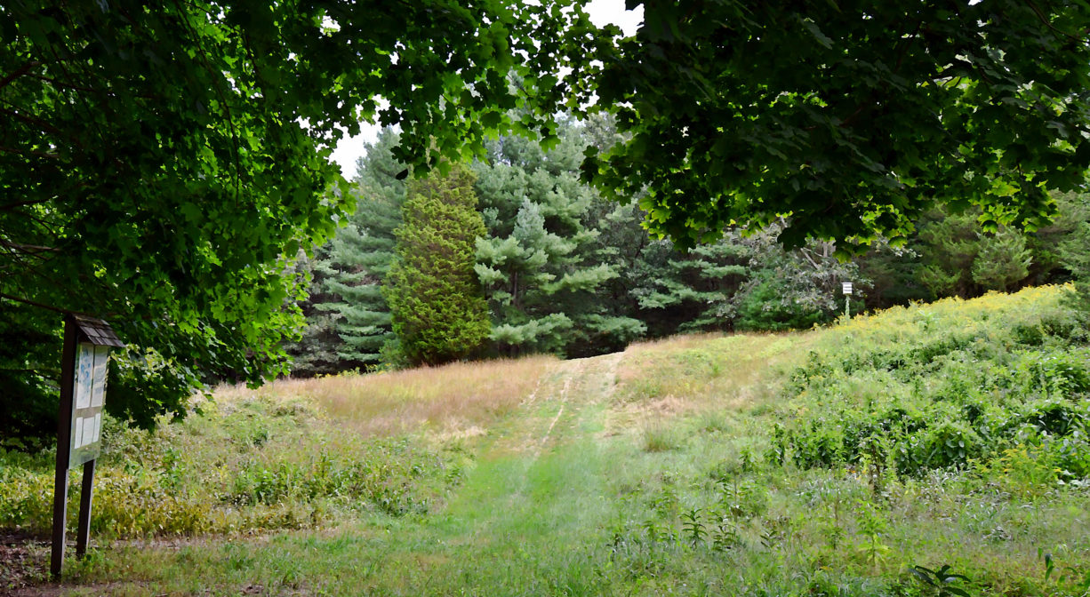
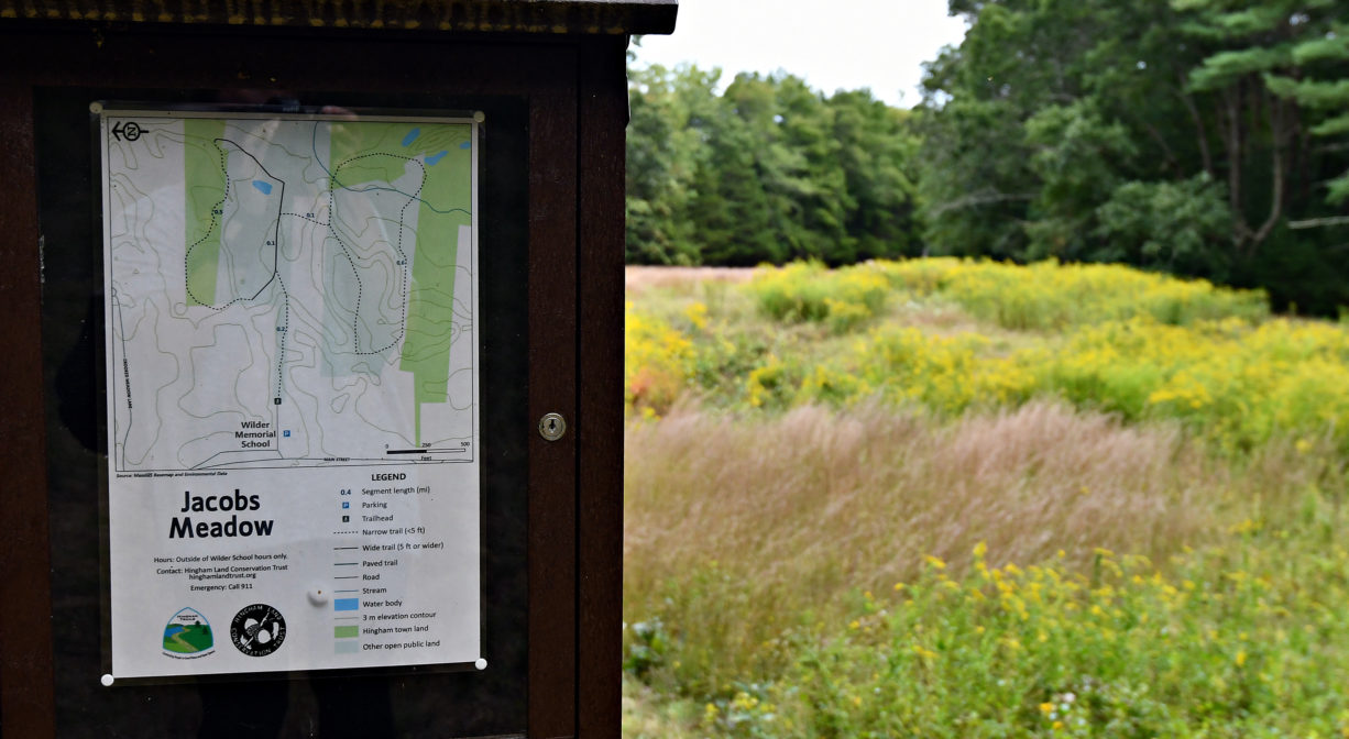
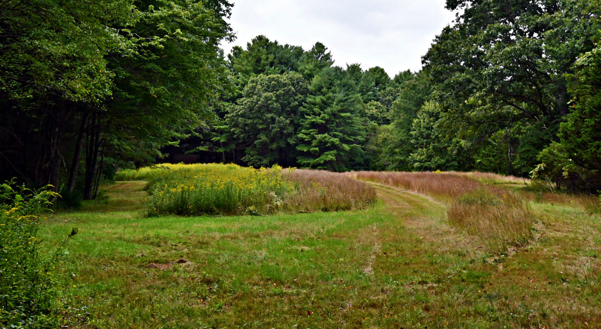
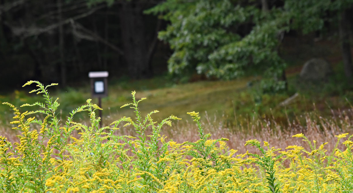
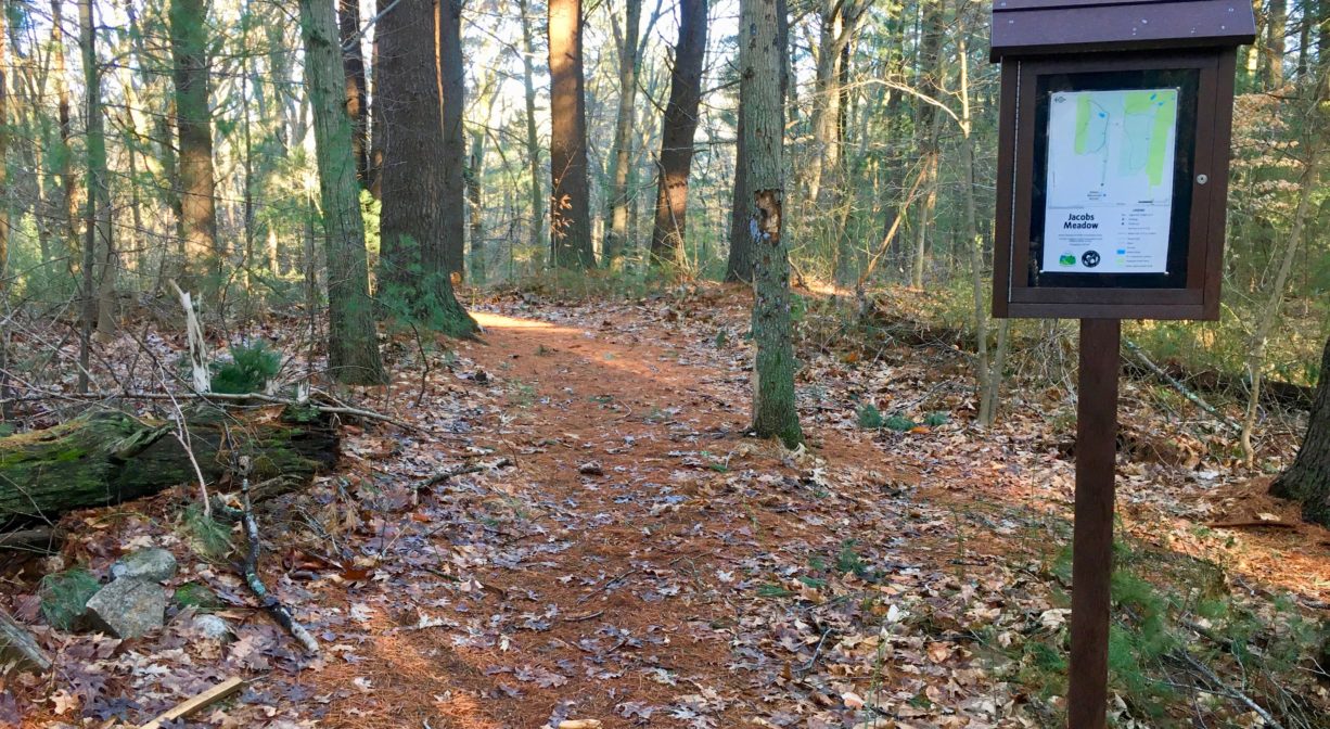
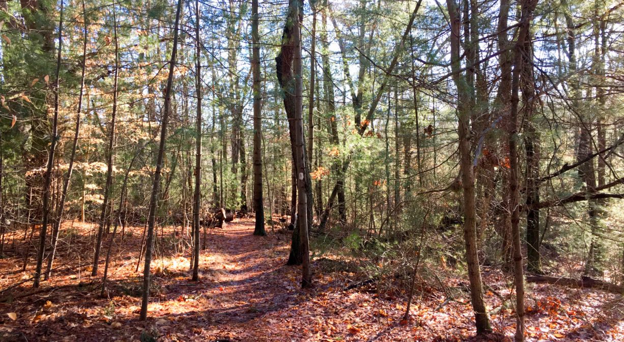
A trail behind the Wilder Memorial Building leads into the woods, and shortly thereafter, to a large open meadow. There are loop trails to the north and south. The meadow offers easy, relatively flat walking, while the forest trails are narrower, with occasional small hills. The same 1.8-mile trail network can also be accessed through the Lehner Conversation Area. A kiosk marks the property boundary. Some of the trails in the woods are marked with white blazes, others are marked with wooden posts, and some are not marked at all.
Visit the Hingham Conservation Land Trust’s website for a detailed description of the 1.8-mile Double Loop walking route.
Habitats and Wildlife
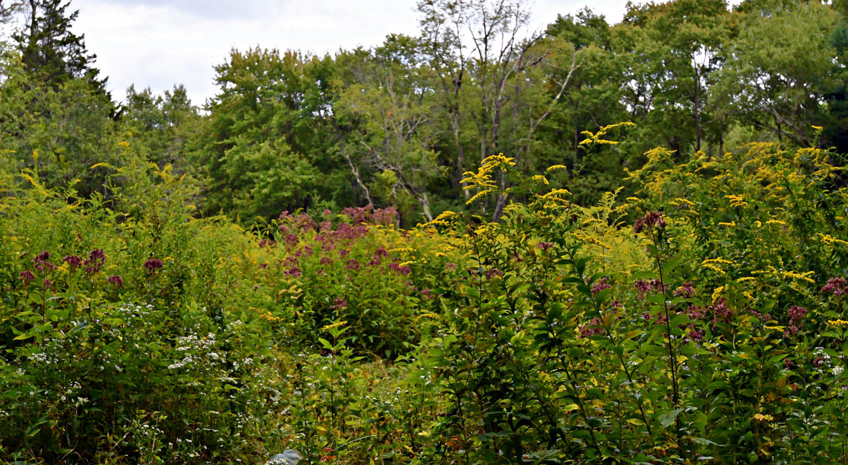
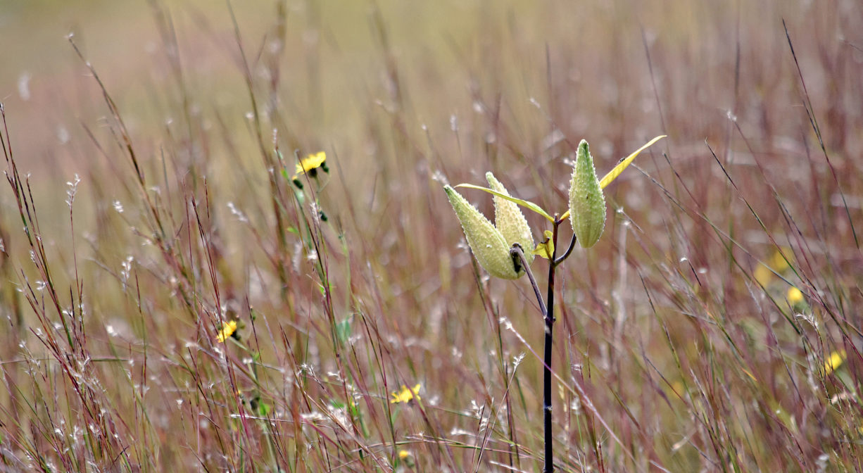
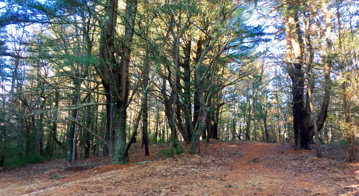
Open meadows are the centerpiece of this property. They are bordered by woods and wetlands on both sides, offering a wonderful sense of seclusion. Most of the forest is pine and oak, but there are some lovely groves of cedar and beech, plus some holly and maple. Plenty of greenbrier too! There are some glacial erratic boulders as well.
Fulling Mill Brook runs through the rear of the property and the streams and wetlands on this property flow into the brook, which is a major tributary to the Weir River. The Weir River flows north through Hingham, with Tower Brook and Accord Brook joining it in its first mile. It gradually turns northeast and flows for another 1.4 miles, through Weir River Farm and eventually into Foundry Pond. The Weir River Estuary, designated by the Commonwealth of Massachusetts as an Area of Critical Concern, begins just below the manmade dam at the pond. The mile-wide estuary — with numerous acres of undisturbed salt marsh — forms the border between Hingham and Hull, and empties into Hingham Bay. For more information about the Weir River, follow the Weir River Watershed Association.
Historic Site: No
Park: No
Beach: No
Boat Launch: No
Lifeguards: No
Size: 50 acres
Hours: Dawn to Dusk
Parking: On weekends and after preschool hours, park behind the Wilder Memorial Building at 666 Main Street in Hingham. When preschool is in session at Wilder, the best access is through the Lehner Conservation Area on South Pleasant Street.
Cost: Free
Trail Difficulty: Easy
Facilities:
Informational kiosk, benches.
Dogs: Dogs must remain on leash. Please clean up after your pet!
Boat Ramp: No
ADA Access: No
Scenic Views: Yes
Waterbody/Watershed: Fulling Mill Brook (Weir River watershed)

