32 S Pleasant St, Hingham, MA 02043, USA
Hingham Conservation: 781-741-1445
Owned By: Town of Hingham
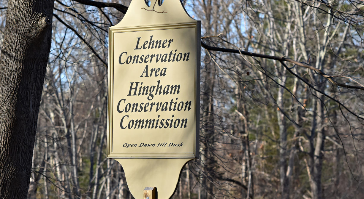
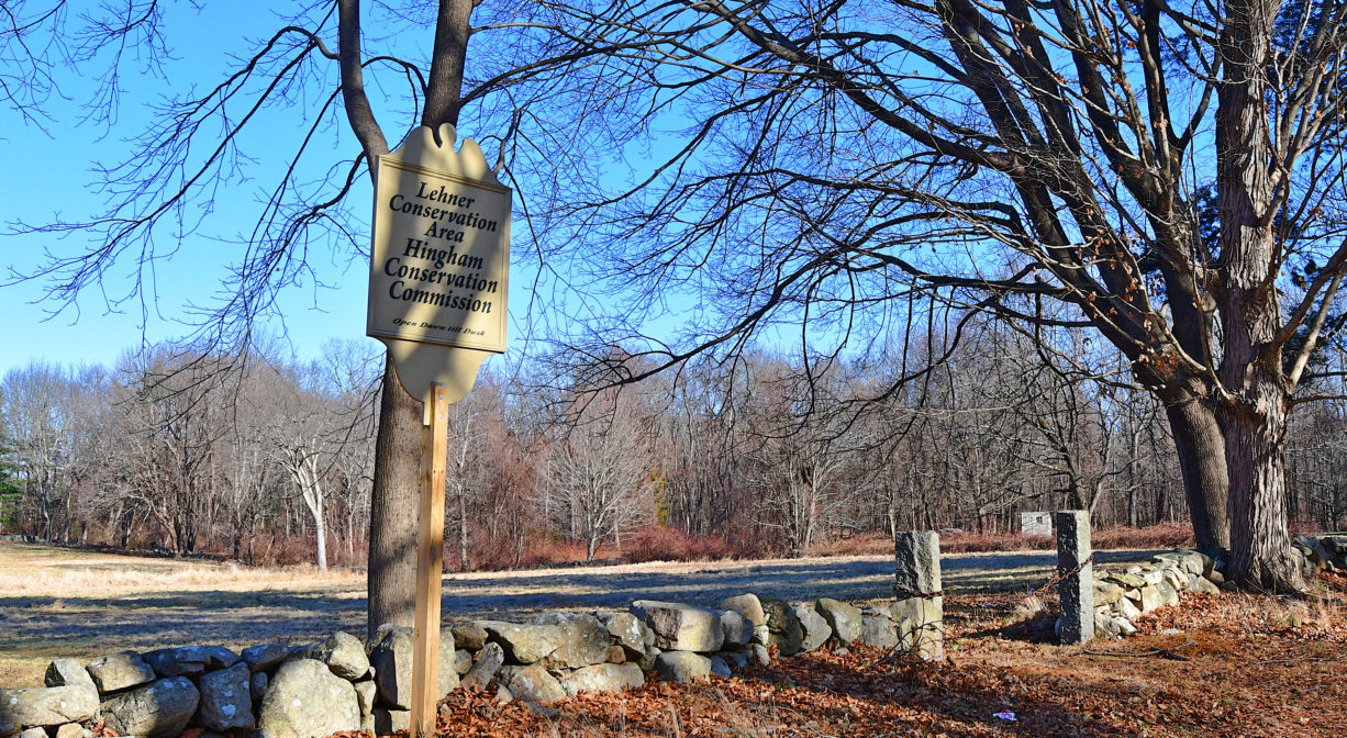
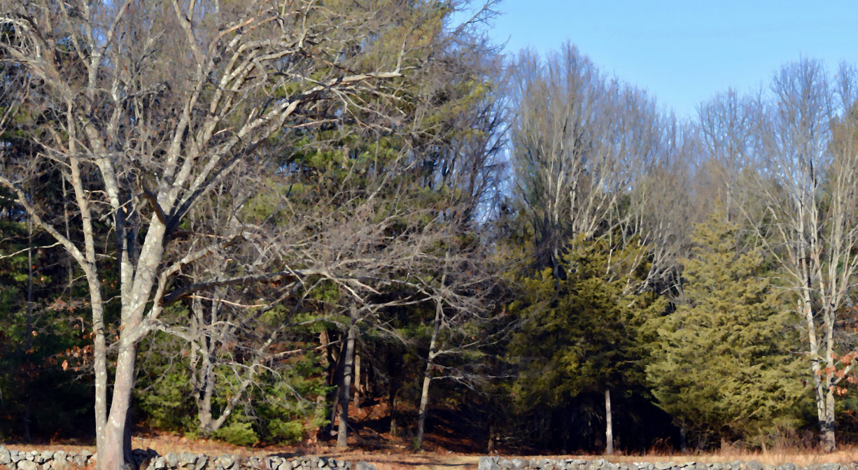
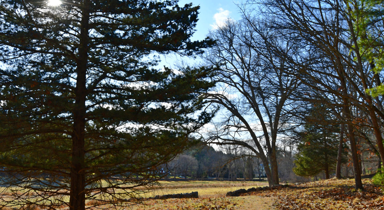
The Lehner Conservation Area in Hingham features grasslands, mixed forest, wetlands, and streams, with trails. It is directly adjacent to Jacobs Meadow.
Features
Also known as Potter’s Field, this was once the town burial ground for paupers and unknown people. Hans Lehner purchased the property in the 1920s. His son Philip, who passed away in 2013, was the most recent owner. The family opted to sell a portion of the land to the town. Community Preservation funds made this possible, and the land was acquired for conservation in 2017.
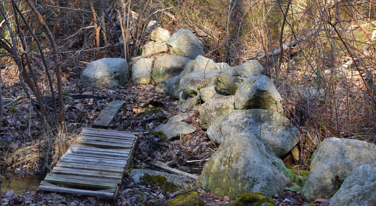
Some interesting things you might see while you’re there include an old stone bridge in the middle of the field, an esker ridge and vernal pool in the woods, lichen-covered stone walls both in the fields and in the woods, and the occasional glacial erratic boulder. Lehner Conservation Area is directly adjacent to another conservation property, Jacobs Meadow, owned by the Hingham Land Conservation Trust.
This land is within the region of the Massachusett (or Massachuseuk). To learn more about local Native American tribes, we encourage you to interact with their members. The Massachusett tribe at Ponkapoag shares information on its website.
Trail Description
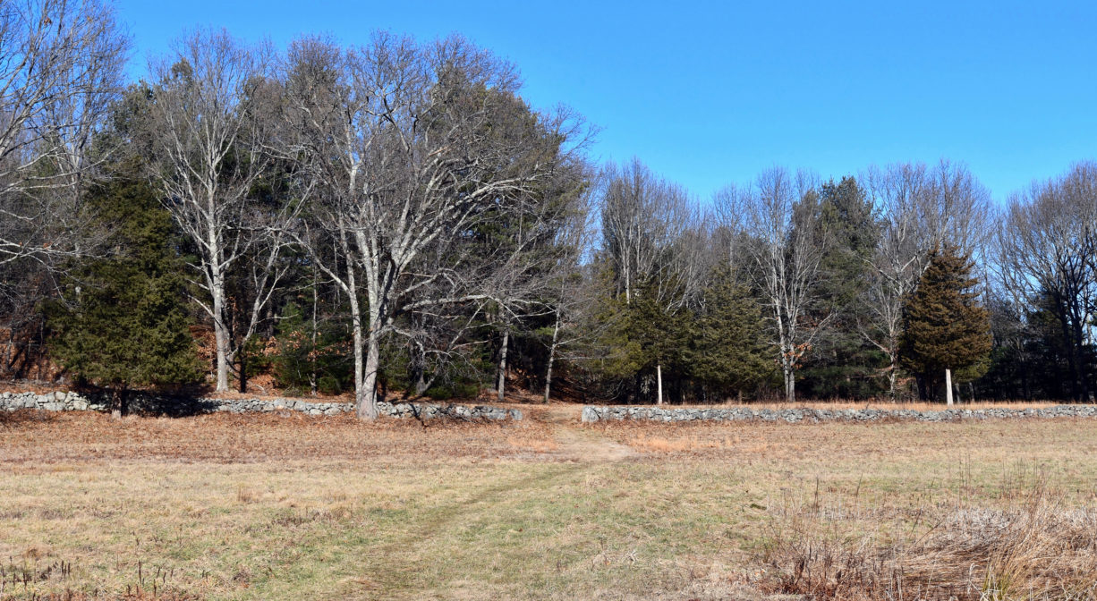
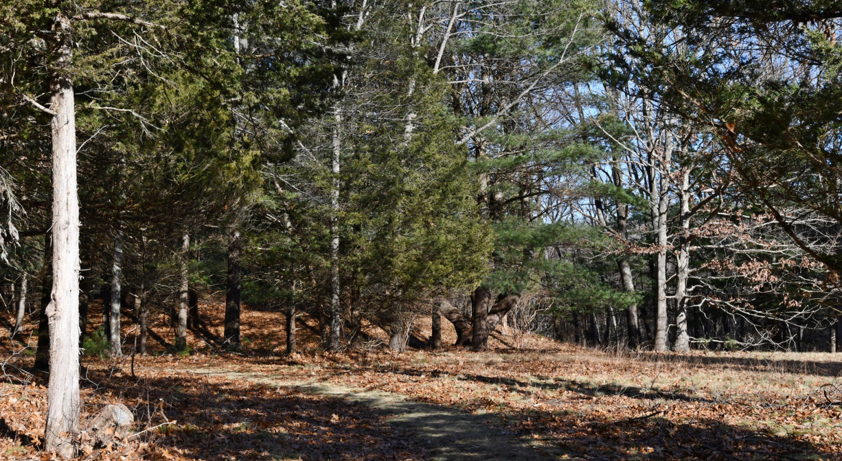
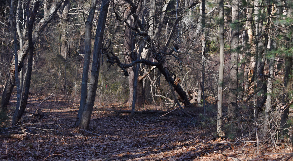
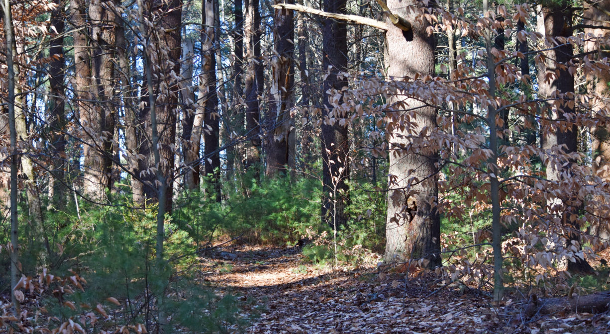
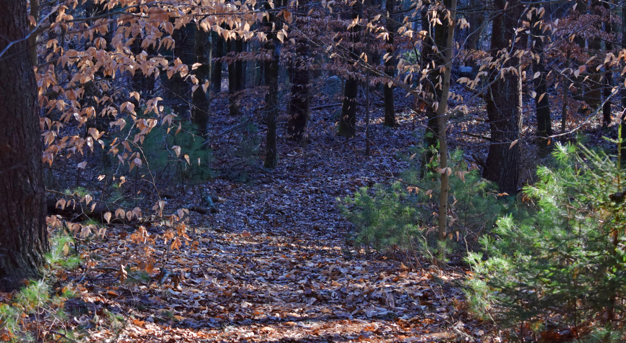
Follow the trail across the open field and into the woods. There is a loop to the right that crosses over a tributary to Fulling Mill Brook a few times, and continues around to a trail intersection on the boundary with Jacobs Meadow. Turning left at the sign will bring you back through the woods to the open field. This loop is about 0.8 miles in total. Some trails on this property are narrow; others are old, wide roads. There are several old stone walls, both in the woods and along the edges of the field.
Habitats and Wildlife
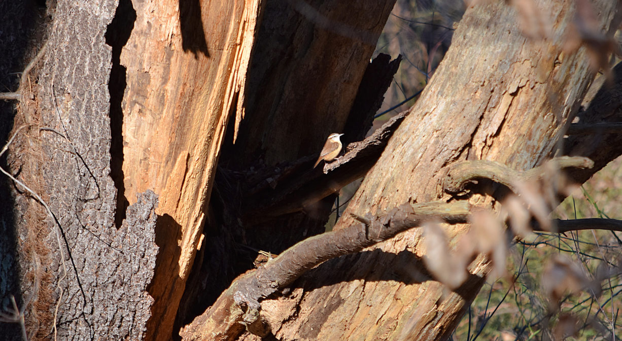
The forest is composed of oak, pine, cedar, maple, birch and beech, with wild grapes, greenbrier, ferns, hemlock and bittersweet. Watch out for poison ivy! The open field has some wet areas, due to the presence of a headwater wetland. Other wetlands can be found within the forest, alongside the stream. In the winter, look for bright red winterberry, a common food for birds and small mammals, as well as cattails. Both typically grow in wetlands.
The streams and wetlands on this property flow into Fulling Mill Brook, a major tributary to the Weir River. The Weir River flows north through Hingham, with Tower Brook and Accord Brook joining it in its first mile. It gradually turns northeast and flows for another 1.4 miles, through Weir River Farm and eventually into Foundry Pond. The Weir River Estuary, designated by the Commonwealth of Massachusetts as an Area of Critical Concern, begins just below the manmade dam at the pond. The mile-wide estuary — with numerous acres of undisturbed salt marsh — forms the border between Hingham and Hull, and empties into Hingham Bay. For more information about the Weir River, follow the Weir River Watershed Association.
Historic Site: No
Park: No
Beach: No
Boat Launch: No
Lifeguards: No
Size: 56 acres
Hours: Dawn to Dusk.
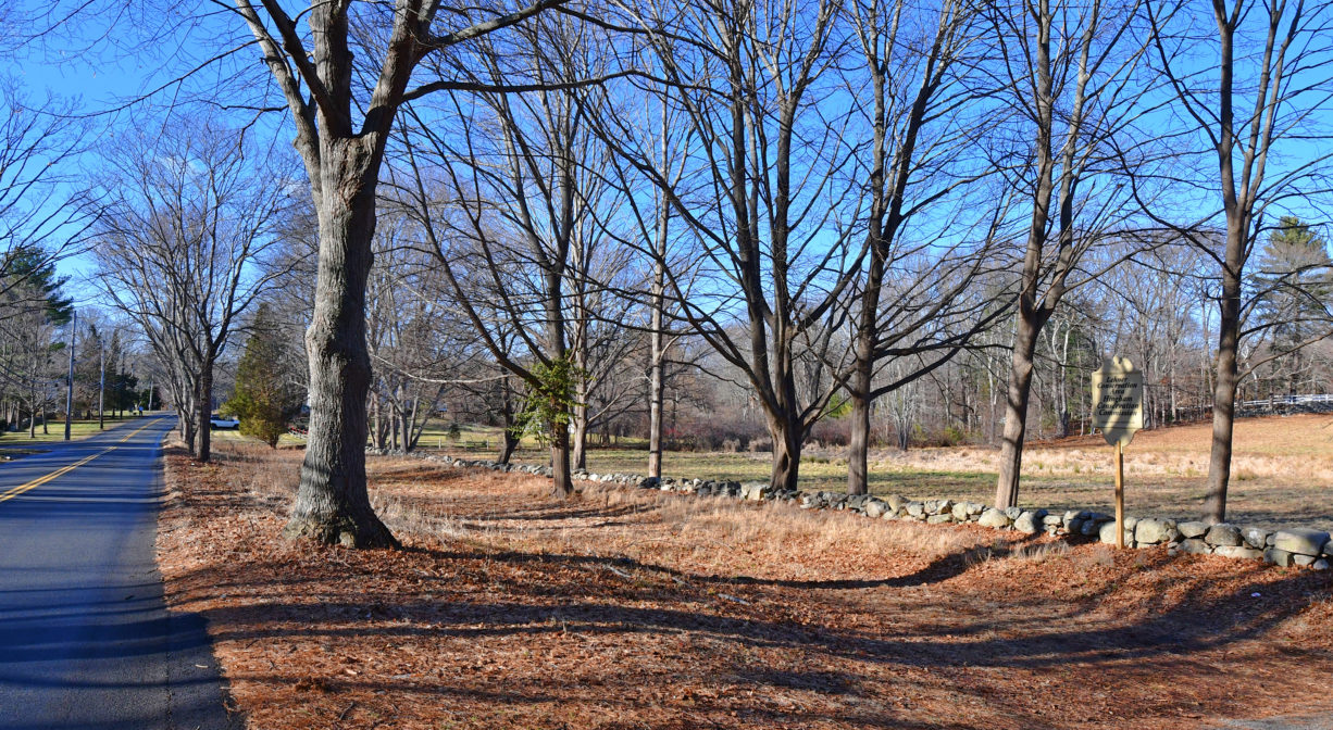
Parking: Limited on-site parking on South Pleasant Street.
Cost: Free
Trail Difficulty: Easy, Medium
Dogs: Dogs must remain on leash. Please clean up after your pet!
Boat Ramp: No
ADA Access: No
Scenic Views: Yes
Waterbody/Watershed: Fulling Mill Brook (Weir River watershed)

