290 Corn Hill Ln, Marshfield, MA 02050, USA
Marshfield Conservation: 781-834-5573
Owned By: Town of Marshfield
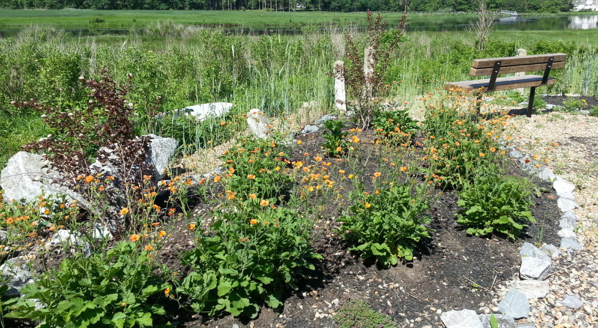
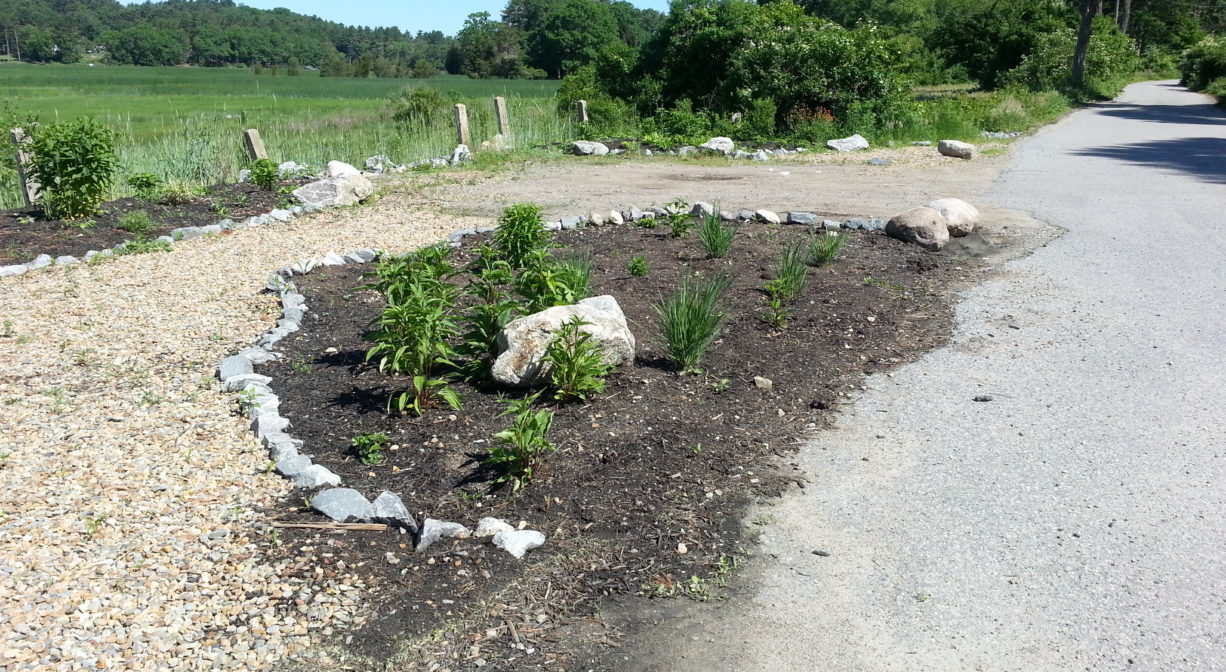
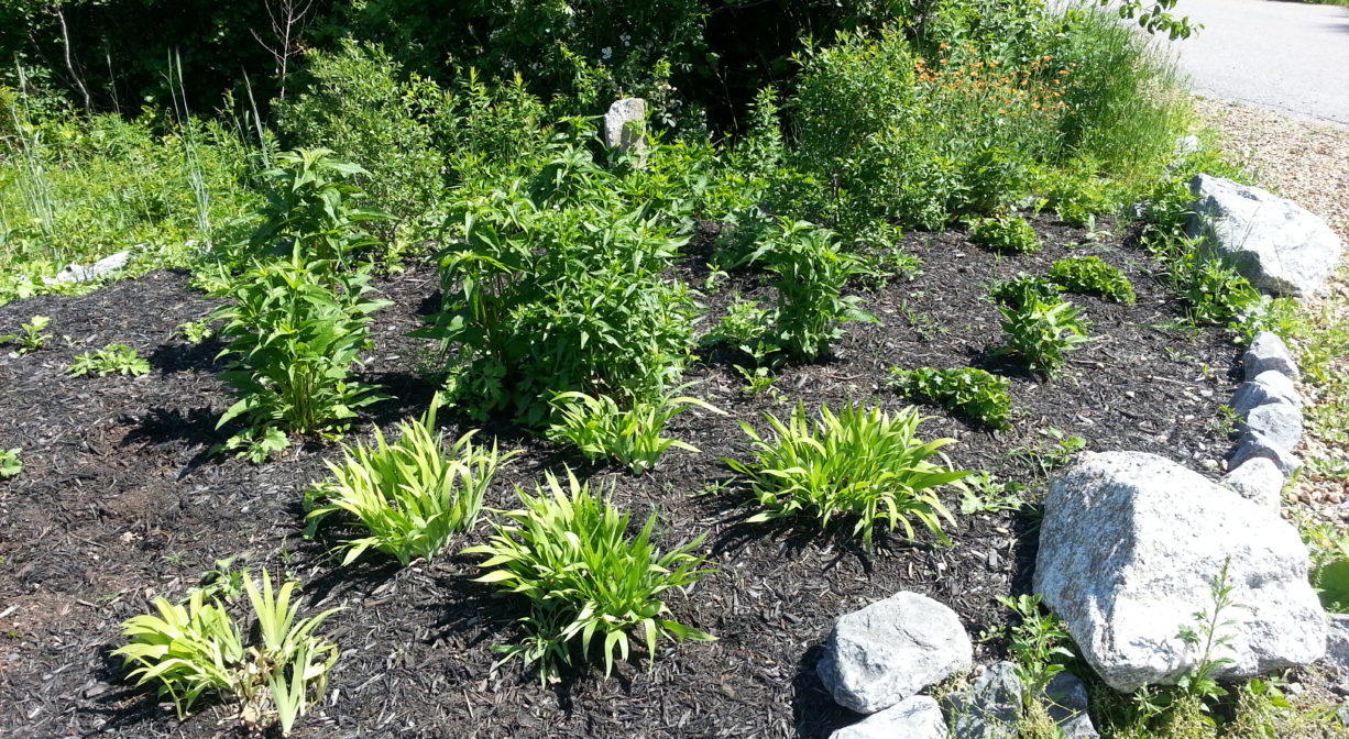
Mary’s Garden is tiny “pocket park” at the end of Cornhill Lane in Marshfield. It offers gorgeous views of the North River and its marshes. It was created in honor of Mary Eliot, who lived nearby and was a longtime, staunch supporter of river conservation efforts.
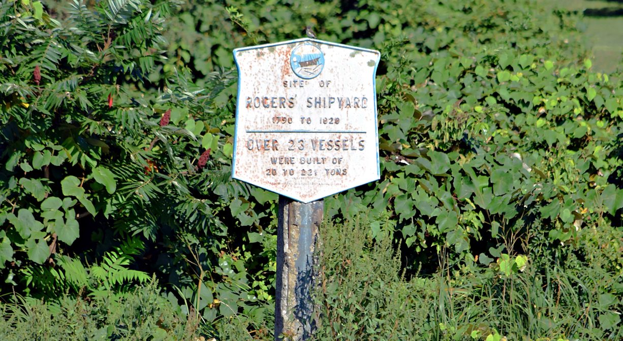
This is also the site of the Rogers Shipyard (1790-1819). Pacific Trader, the only snow-rigged vessel of record on the North River, was built here by Israel Rogers. Snows were used for merchant shipping during the American revolution. A plaque marks the site.
Hunting is not allowed at Mary’s Garden and Rogers Yard, nor at any of Marshfield’s other conservation properties.
FISHING ADVISORY: It’s important to know that some of our freshwater fisheries are contaminated with mercury, PFAS and/or other concerning substances. The Massachusetts Department of Public Health maintains an online database with up-to-date advisories regarding fish consumption, sorted by location. We recommend you consult this valuable resource when planning a fishing excursion.
Features
Cornhill Lane was originally called Gravelly Beach Lane. The Rogers family had a shipyard here, at the end of the lane, at a spot known as Gravelly Beach. They also operated a shipyard near Little’s Bridge in Marshfield. They owned several houses along the lane, and also elsewhere in North Marshfield, including Nelson Memorial Forest.
Numerous members of the Rogers family built ships at Gravelly Beach. They were skilled carpenters, very much in demand, and also worked at other yards up and down the river. Amos Rogers probably built the first ship at this site in 1792, the schooner Persis (90 tons). A number of sloops, schooners and brigantines followed, with participation by various family members.
There was a large saw pit adjacent to the shipyard. Teams of oxen were employed to drag white pine and oak there, to be cut by hand. Additional lumber was cut at the Hatch Mill, a short distance south. There was a cart path that ran from the ferry at today’s Union Street Bridge, along the lowland near the edge of the marsh to the end of Cornhill Lane, and then onward to Two Mile Brook, through today’s Jose Carreiro Woodland, to Maryland Street and into Pembroke.
The local shipbuilding industry sometimes employed slave labor. Both Boston and Newport were slave trading hubs, and some of the ships built on the North River were use in the slave trade.
This land is within the region of the Massachusett (or Massachuseuk). To learn more about local Native American tribes, we encourage you to interact with their members. The Massachusett tribe at Ponkapoag and the Mattakeeset band of the Massachusett share information on their websites.
Habitats and Wildlife
Mary’s Garden is situated at the edge of the North River salt marsh. There are some beech, oak, maple, pine, holly and hickory trees on site, along with wild roses and wild grapes. Watch for cormorants along this stretch of the river. You may notice them diving for fish.
There were 24 shipyards along the North River. Together they produced over 1,000 ships. All of those vessels were built with lumber culled from the surrounding forests. By the middle of the nineteenth century, few large trees remained. After the decline of the shipbuilding industry, the forests began to regenerate. Now, thanks in large part to conservation efforts, those forests have grown, providing essential wildlife habitat in the river corridor.
This property is located directly on the North River. The North River rises from marshes and springs in Weymouth, Rockland and Hanson. It is approximately 10 miles in length, with its source at the confluence of the Indian Head River (Hanover) and Herring Brook (Pembroke). From there it flows through the towns of Hanover, Pembroke, Marshfield, Norwell, and Scituate to the Atlantic Ocean between Third and Fourth Cliffs, draining approximately 59,000 acres along the way.
Historic Site: Yes
Park: Yes
Beach: No
Boat Launch: No
Lifeguards: No
Hours: Dawn to Dusk
Parking: Limited on-site parking (6-8 vehicles) toward the end of Cornhill Lane.
Cost: Free
Facilities:
A single bench offers an opportunity to sit and admire the view. There is also a trash receptacle and a historic marker.
Dogs: Dogs must remain on leash. Please clean up after your pet!
Boat Ramp: No
ADA Access: This site may be suitable for some wheelchair users, depending on current conditions.
Scenic Views: Yes
Waterbody/Watershed: North River


