81 Learning Ln, Pembroke, MA 02359, USA
Town of Pembroke: (781) 709-1400
Owned By: Town of Pembroke
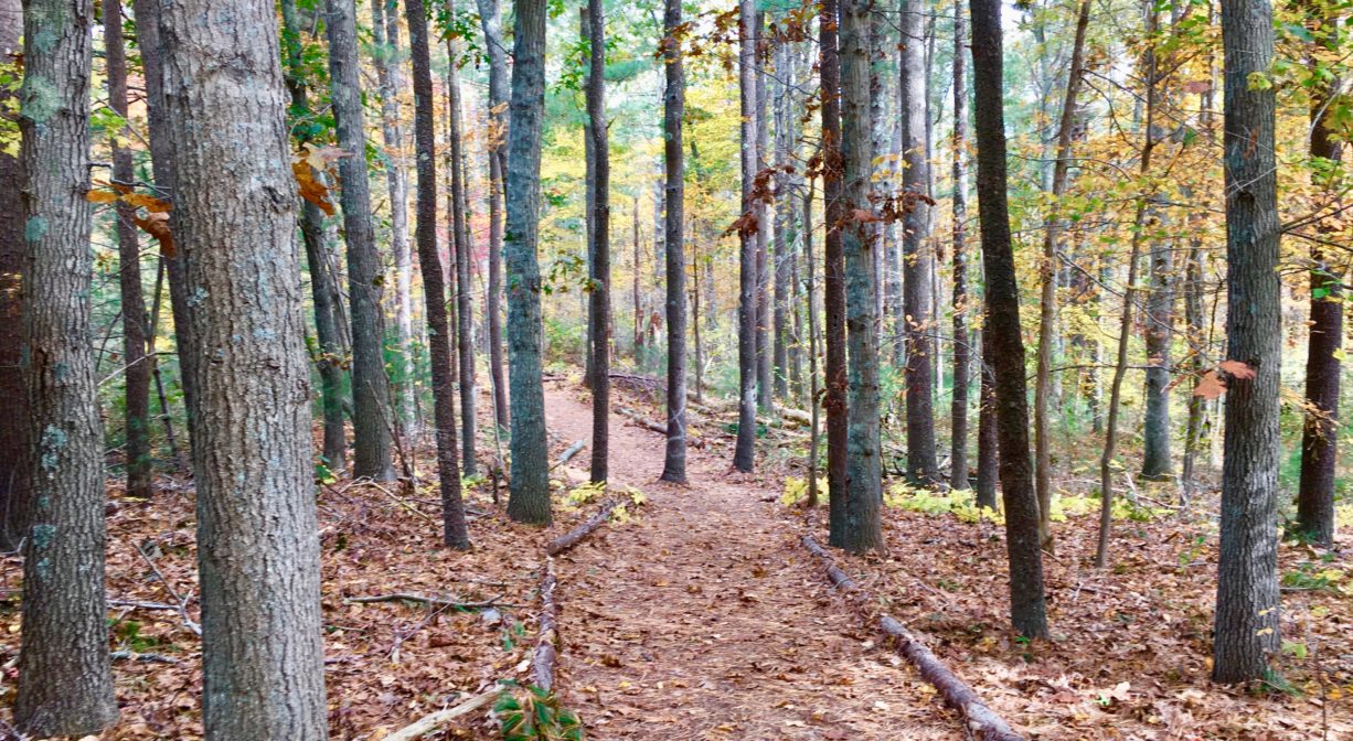
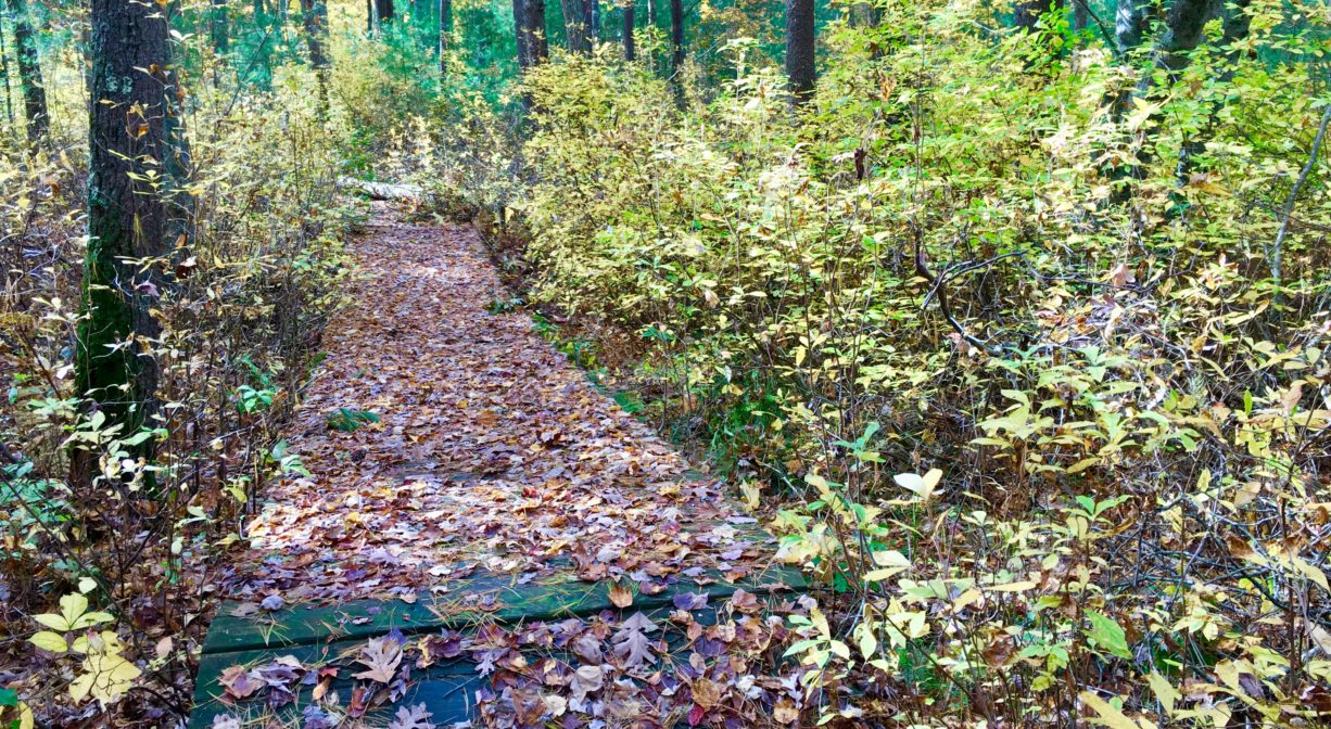
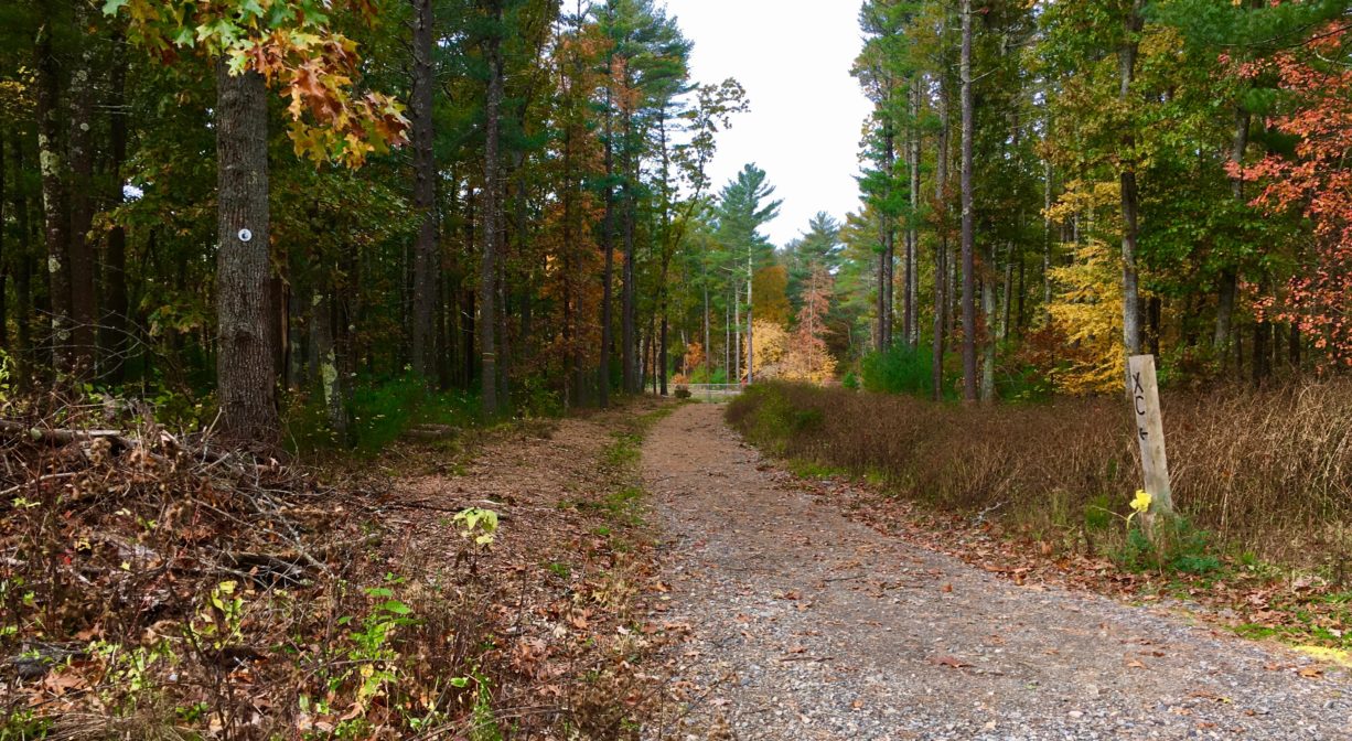
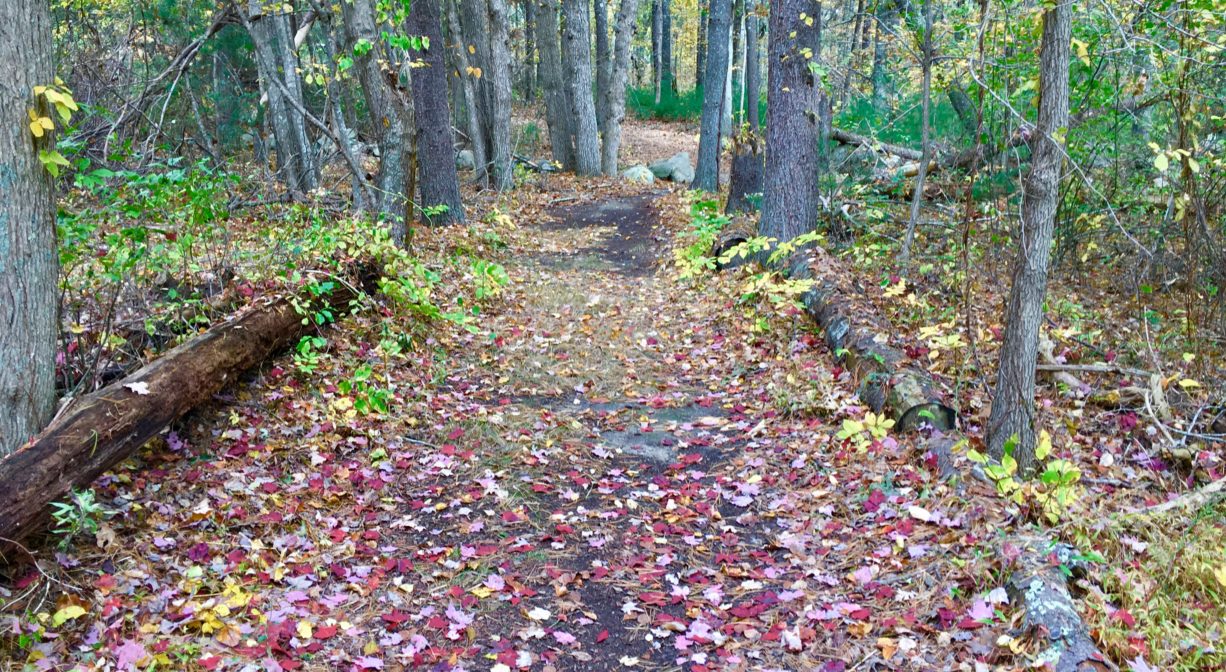
The wide, well-maintained trails at Pembroke High School and Hobomock Elementary extend for 3 miles through woods and wetlands. Look for old stone walls and a historic cart path. A section of the Bay Circuit Trail extends through this property.
Features
This land is within the region of the Massachusett (or Massachuseuk) Native American tribe. The Mattakeeset band of the Massachusett lived for thousands of years in the North River watershed. Their village included most of today’s Pembroke and Hanson. Meanwhile the Patuxet band of the Wampanoag tribe inhabited the Jones River watershed, and the area now known as Kingston, Plymouth and Duxbury. This property lies between those two territories. It’s possible that both tribes utilized the area.
Hobomock (also spelled Hobbamock and Hobomok) was a warrior from the Pokanoket band of the Wampanoag, who lived alongside the settlers of Plimoth Colony in the 1620s. He was well-regarded both by Myles Standish, the colony’s military commander, and Massasoit, the Chief Sachem of the Wampanoag.
Please bear in mind that Native American cultures often favor oral histories to written ones. Much of what’s recorded about the history of the South Shore is from the perspective of European settlers. It’s not the whole story. To learn more about our local tribes, we encourage you to interact with their members. You can learn more about the Mattakeeset band of the Massachusett, the Massachusett tribe at Ponkapoag, the Mashpee Wampanoag tribe, and the Herring Pond Wampanoag on their websites.
Trail Description
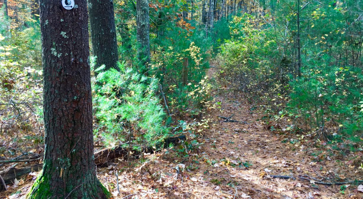
This property features about 3 miles of intersecting trails, including a portion of the Bay Circuit Trail, as well as the Cross Country running route for Pembroke High School. Some trails are marked with blazes (white or orange) or with Bay Circuit Trail markers. Most of the trails are wide and well-tended. There are also various unmarked spur trails.
The Bay Circuit Trail is a network of connected trails through 37 towns, spanning nearly 200 miles from Duxbury to Newburyport.
Habitats and Wildlife
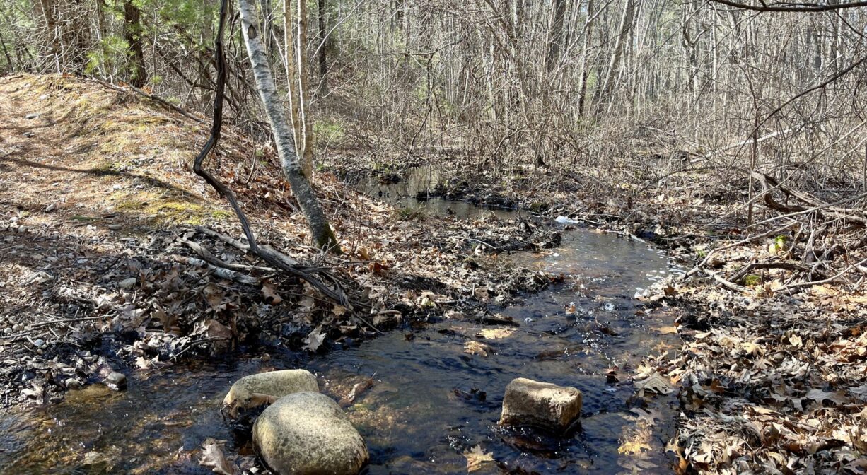
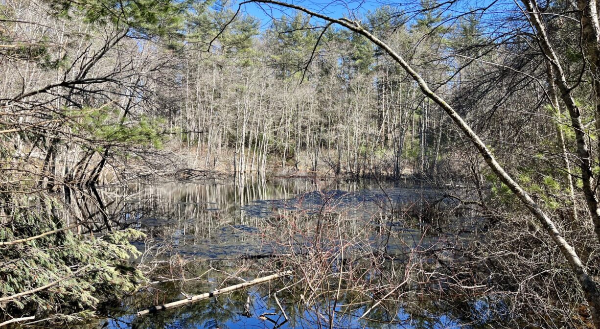
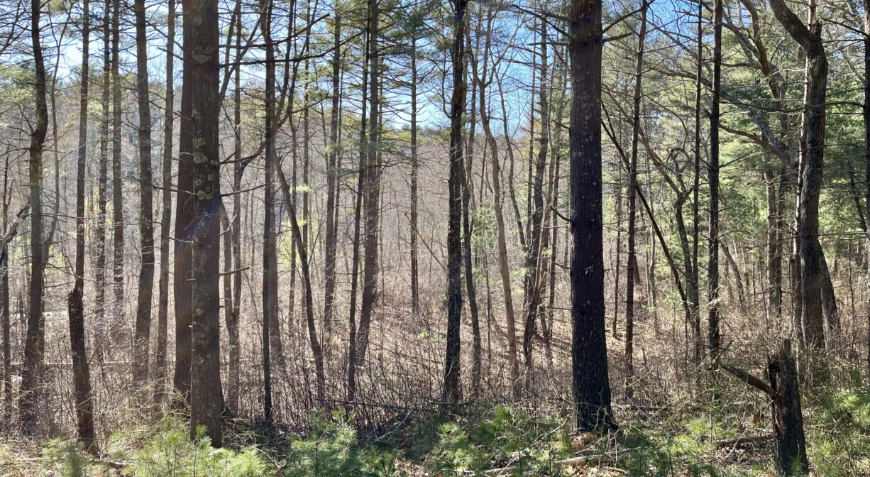
Dense pine forest with some hemlock, oak, birch, holly, sassafras and maple, plus ferns and sweet pepperbush. Scattered wetland areas, some of which used to be cranberry bogs. A small pond drains to an unnamed tributary to Herring Brook. Wildlife commonly seen here include white-tailed deer, red fox, and a variety of birds. Enjoy distant views of Herring Brook from the Bay Circuit Trail in the northern section of the property.
Herring Brook and the Indian Head River flow together in Hanover/Pembroke to form the North River. Approximately 10 miles in length, the North River flows through the towns of Hanover, Pembroke, Marshfield, Norwell, and Scituate. It empties into the Atlantic Ocean between Third and Fourth Cliffs, draining approximately 59,000 acres along the way.


Historic Site: No
Park: No
Beach: No
Boat Launch: No
Lifeguards: No
Size: 279 acres
Hours: Dawn to Dusk
Parking: Limited off-street parking toward the end of Learning Lane.
Cost: Free
Trail Difficulty: Easy, Medium
Facilities:
Geocache location.
Dogs: Dogs must remain on leash. Please clean up after your pet!
Boat Ramp: No
ADA Access: No
Scenic Views: Yes
Waterbody/Watershed: Herring Brook (North River watershed)