
482 Elm St, Hanson, MA 02341, USA
Hanson Conservation: (781) 294-4119
Owned By: Town of Hanson
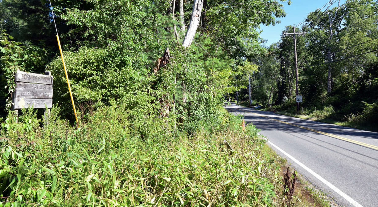
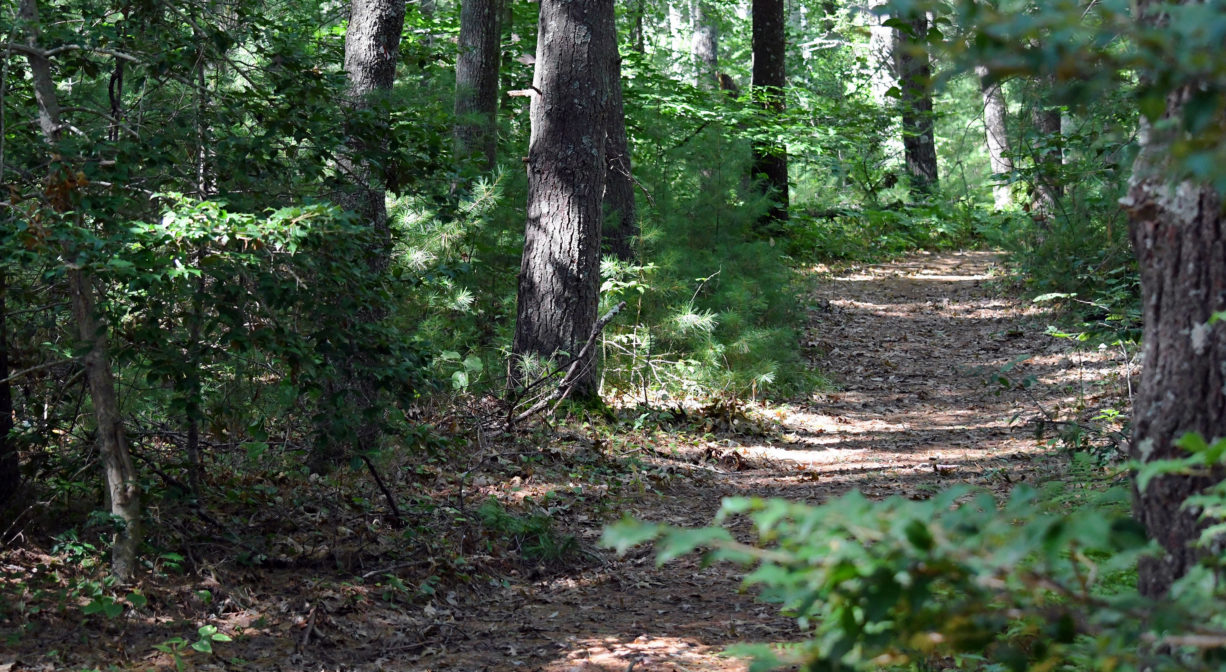
The Smith-Nawazelski Conservation Area is Hanson’s largest conservation property. It features more than 2 miles of trails through 101 acres of woods and wetlands, including a section of the Bay Circuit Trail. Don’t miss the rustic boardwalk over Poor Meadow Brook at the rear of the property. Popular with horseback riders. Part of the Burrage Pond Wildlife Management Area.
FISHING ADVISORY: It’s important to know that some of our freshwater fisheries are contaminated with mercury, PFAS and/or other concerning substances. The Massachusetts Department of Public Health maintains an online database with up-to-date advisories regarding fish consumption, sorted by location. We recommend you consult this valuable resource when planning a fishing excursion.
Features
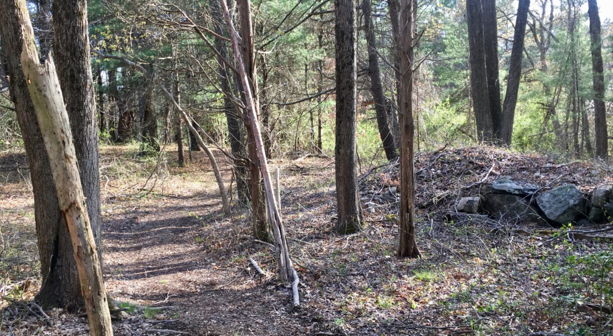
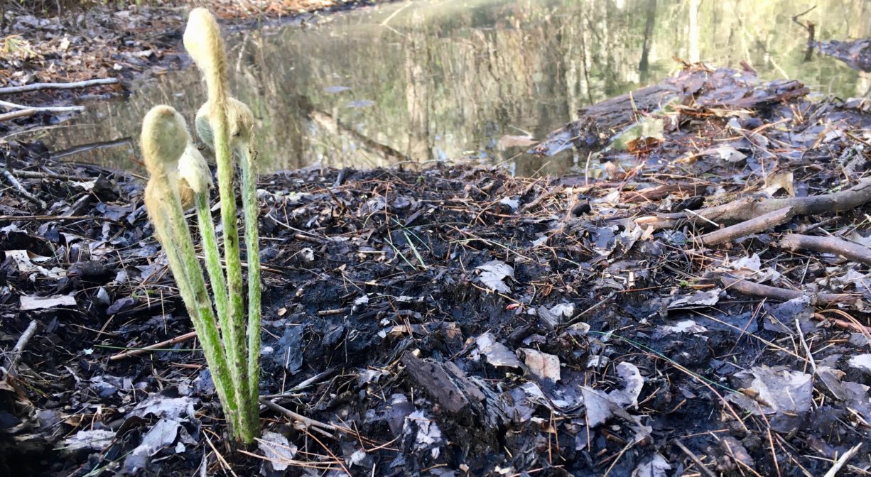
The Town of Hanson acquired this property in 1989 for conservation and water supply protection purposes. Within you will see occasional old stone walls, and also a very large pile of stones, probably the result of the hard work of clearing agricultural fields! Portions of the property were once known as Stillman Farm. Probably the most intriguing feature is the boardwalk to Poor Meadow Brook, at the rear of the property.
According to the Hanson Historical Society, somewhere in the woods, on the side of the property that lies to the north of the power lines (to the right as you walk in from the parking area), or possibly on the grounds of the adjacent Hanson Rod & Gun Club, there is a large boulder that is hollowed out at the top. This was used by Native Americans as both a gathering spot, but more specifically as a grindstone for things like corn. If you can find the boulder, you can climb up on top of it and see where the corn was ground.
This land is within the region of the Massachusett (or Massachuseuk) Native American tribe. The Mattakeeset band of the Massachusett lived for thousands of years in the North River watershed. Their village included most of today’s Pembroke and Hanson.
To travel between the North River watershed and the Taunton River watershed, the Mattakeeset followed a trail that extended from today’s Indian Head Pond (Main Street, Hanson) to Crooker Place and today’s Indian Crossway Conservation Area, through the great Cedar Swamp (today’s Burrage Pond Wildlife Management Area), through today’s Smith-Nawazelski Conservation Area to East Bridgewater and the Taunton River watershed.
To learn more about local Native American tribes, we encourage you to interact with their members. The Massachusett tribe at Ponkapoag and the Mattakeeset band of the Massachusett share information on their websites.
Trail Description
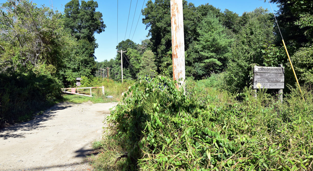
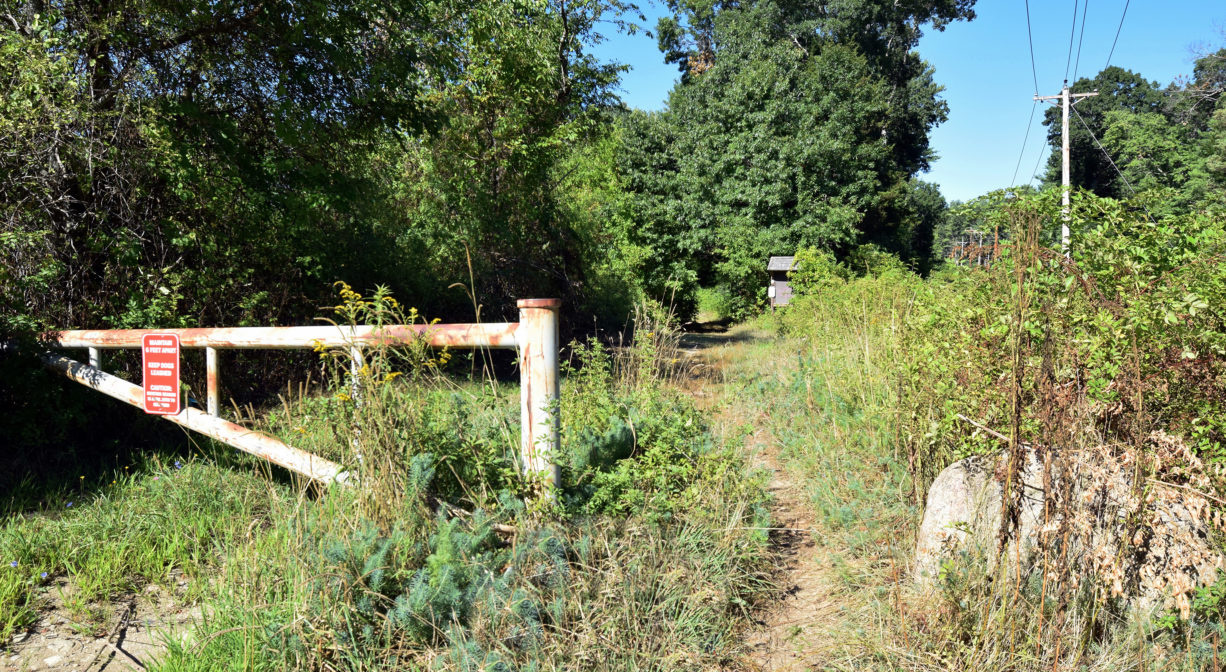
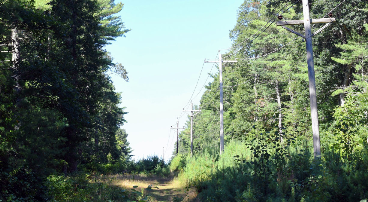
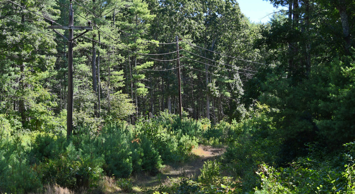
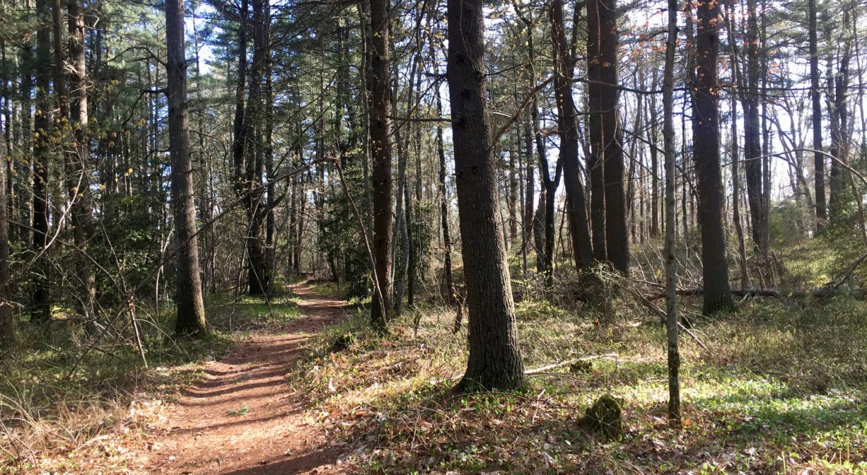
There are at least 2 miles of trails here — mostly wide cart paths but also sometimes narrow footpaths. Follow the main trail from the parking area, away from the road. It extends past some farm fields and along a power easement. At least two side trails head off to the right, leading off the property toward the Rod & Gun Club. The power easement offers two access points to the property’s loop trail — at about 0.21 miles, and again at about 0.5 miles, both on the left.
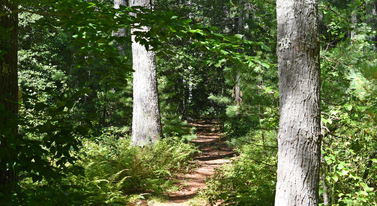
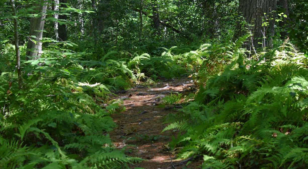
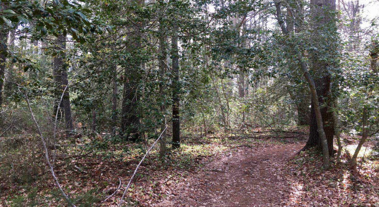
You’ll find the first access point for the loop trail at about 0.21 miles. It forms a rough triangle with a few short spurs. For a longer exploration, follow the green trail markers. They will lead you through a forest with numerous stands of holly, plus several stone walls. (The trail marked in red, which appears to the right after 0.5 miles, offers a somewhat shorter route.) Please bear in mind that these trails are currently being renovated. Especially in the springtime, there are some very large puddles to traverse. Footbridges are planned for the future.
If you’re following the green loop, look for a path to the left about a mile down the trail. This leads to a boardwalk that extends across the freshwater wetlands adjacent to Poor Meadow Brook. It’s a beautiful spot. The boardwalk used to cross the brook to East Bridgewater, but unfortunately it has been damaged. Continuing past the trail to the boardwalk, after another 0.2 miles or so, you will arrive at the power easement that leads back to the parking area. (Turn right, and continue past another very large puddle.) Altogether this loop, starting and ending at the parking area, is about 1.8 miles in length.
A portion of the Bay Circuit Trail runs through the property as well. It is marked with white blazes.
Habitats and Wildlife
The forest here is primarily pine and oak, with maple, cedar, beech, and also several small groves of holly. There is a fair amount of red maple swamp on the property as well, plus lots of blueberry. Look for the occasional glacial erratic boulder. Deep within the property there is at least one vernal pool.
Poor Meadow Brook runs through the rear portion of the property. It rises from wetlands in North Hanson and joins with the Shumatuscacant River within Hanson’s Poor Meadow Brook Conservation Area. The stream continues to Robbins Pond in East Bridgewater, where it empties into the Satucket River, part of the Taunton River watershed.
Some of the animal species commonly observed here include white-tail deer, wild turkey, grouse, otter, mink, ribbon snake, plus kingfishers and a variety of songbirds.


Historic Site: No
Park: No
Beach: No
Boat Launch: No
Lifeguards: No
Size: 101 acres
Hours: Dawn to Dusk
Parking: Limited on-site parking at 482 Elm Street (3 vehicles). Look for the property sign, across from the rear entrance to Burrage Pond. Additional parking across the street.
Cost: Free
Trail Difficulty: Easy, Medium
Facilities:
Informational kiosk. Boardwalk to Poor Meadow Brook. Geocache location.
Dogs: Dogs must remain on leash. Please clean up after your pet.
Boat Ramp: No
ADA Access: No
Scenic Views: Yes
Waterbody/Watershed: Poor Meadow Brook (Taunton River watershed)