2148 Ocean St, Marshfield, MA 02050, USA
Town of Marshfield: (781) 536-2500
Owned By: Town of Marshfield
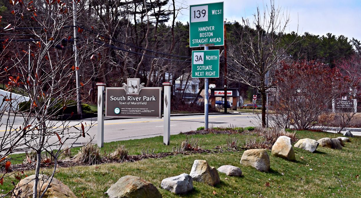
The 1.7-acre South River Park in Marshfield offers river views, benches, a short trail, a boardwalk, and a picnic area, plus a Veterans Honor Roll. We are excited about the 0.46-acre expansion of the park, which is planned for 2026!
FISHING ADVISORY: It’s important to know that some of our freshwater fisheries are contaminated with mercury, PFAS and/or other concerning substances. The Massachusetts Department of Public Health maintains an online database with up-to-date advisories regarding fish consumption, sorted by location. We recommend you consult this valuable resource when planning a fishing excursion.
Features
South River Park provides open space in a densely populated commercial area, which means that those who live and work nearby have convenient access to a beautiful, natural landscape. Before the park was established, the property had become overgrown with invasive plants such as Japanese knotweed. Now that the vegetation has been tamed, a charming stretch of the river has been revealed. For those wondering, “What was here before?” most recently the property housed a private residence and the Buckles & Boards ski shop. And the “new” section (to be established in 2026) was home to a cement block factory owned by the Rugani family that was later used by the town as a barn and storage facility.
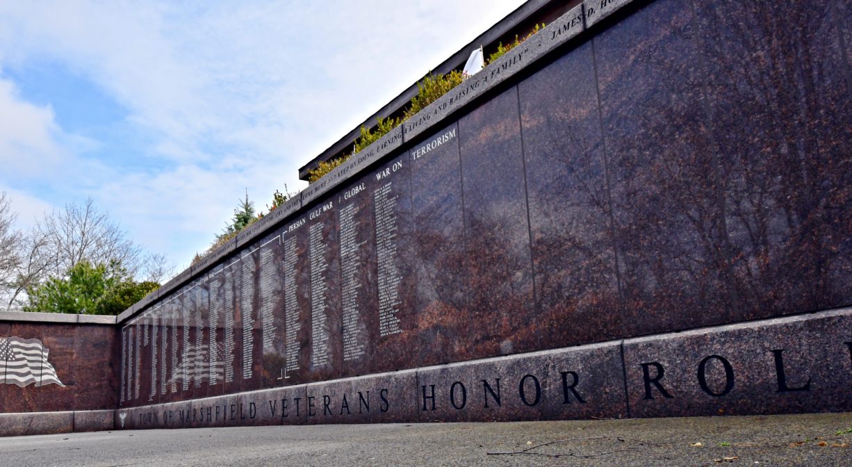
Established in 2012, the South River Park serves as a companion to Veterans Memorial Park, just a few hundred yards upstream. It features a granite tribute to soldiers who served recent wars. Over 1200 names of Marshfield residents who served in the Korean, Vietnam and Persian Gulf Conflicts are inscribed on the large memorial.
Also featured in the park is a marker acknowledging the North and South Rivers’ National Natural Landmark status. Although the designation was put in place in 1977, the marker was not installed until 2017. It reads “This site possesses exceptional value as an illustration of the nation’s natural heritage and contributes to a better understanding of the environment.” The honor was conferred by the National Park Service and the US Department of the Interior.
South River Park is part of the South River Greenway, interconnecting green spaces in Marshfield’s downtown area, including Veterans Memorial Park, South River Park, Pratt Farm, the Keville Footbridge, Dandelion Park and the Rail Trail/Bridle Trail.
This land is within the region of the Massachusett (or Massachuseuk). To learn more about local Native American tribes, we encourage you to interact with their members. The Mattakeeset band of the Massachusett and the Massachusett tribe at Ponkapoag share information on their websites.
Trail Description
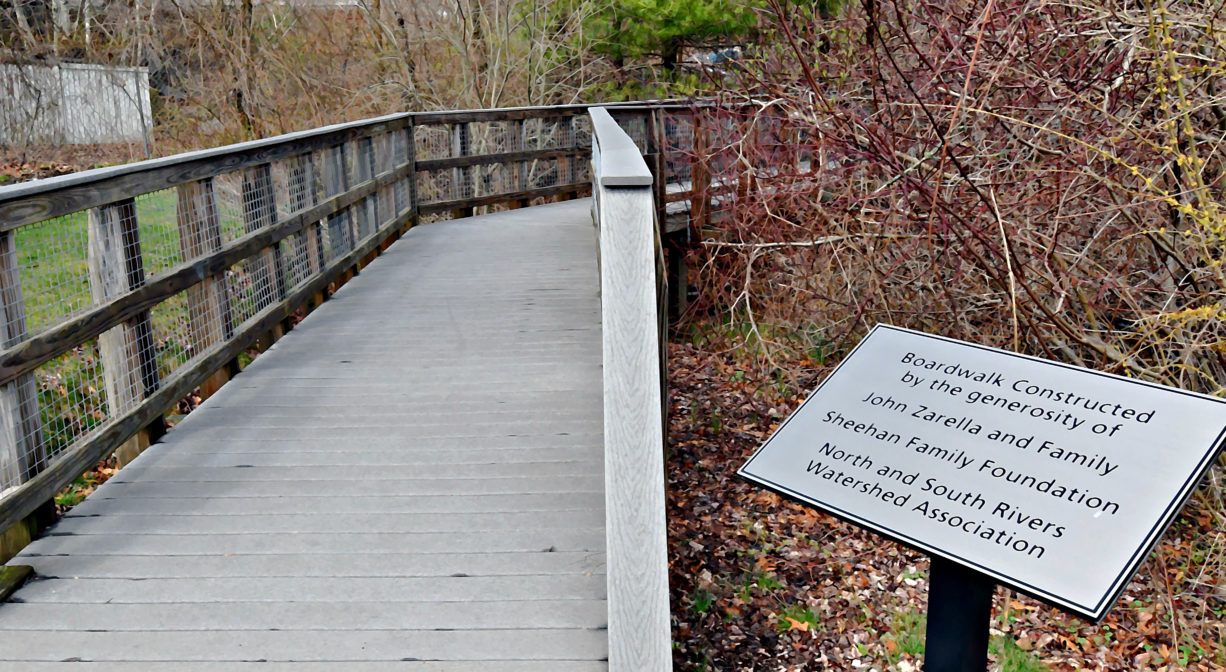
Follow the ADA-accessible 0.25-mile trail network from the parking area down an incline to the Honor Roll. Continue downhill to the boardwalk, which offers a view of the South River. The trail consists of stone dust, pavement and boardwalk.
Habitats and Wildlife
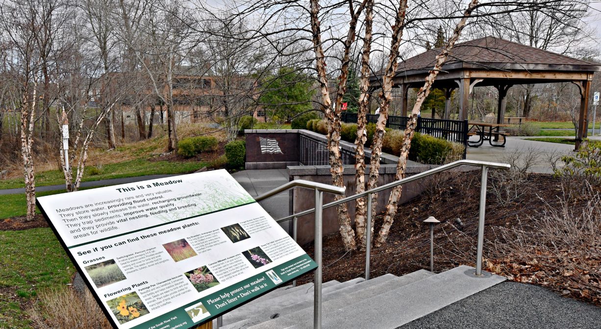
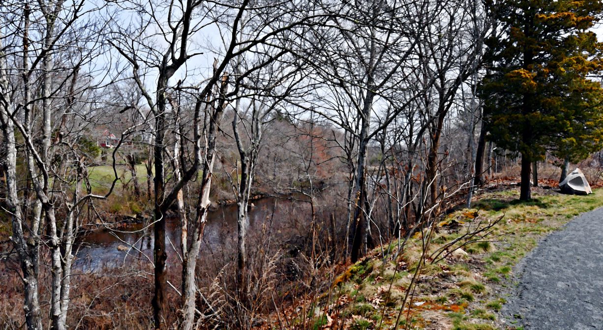
The property, located directly on the South River, was designed to respect the sensitive environment and serve as an example of responsible riverfront use. Planting materials were chosen for their habitat value and drought tolerance. Berry producing shrubs and a wildflower meadow filled with pollinating native flowers and grasses were designed to attract birds, bees and butterflies. Trees include oak and maple with a scattering of cedar and pine, along with ornamental plantings.
Occasionally a great blue heron can be spotted wading in the river. You might also see bald eagles here. Other bird species observed here include: common grackle, blue jay, Carolina wren, American crow. In April and May, watch for herring making their way upstream to the fish ladder at Veterans Memorial Park. They are headed for their spawning grounds farther upstream.
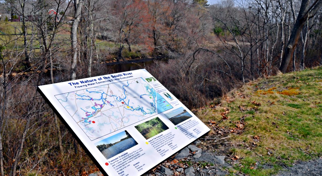
The South River originates deep in Duxbury. Its source is in the Round Pond area, and from there it winds unobtrusively through the woods for several miles. Although one can view it from Route 3, and also from both the South River Bog and the Camp Wing Conservation Area, it remains a narrow and mostly un-navigable stream until just below Veterans Memorial Park. From there it flows through South River Park, behind the playground of South River School, and under the Willow Street and Francis Keville Bridges. Wider at that point, and navigable at most tides, its course winds through the marshes as it runs parallel to Route 139, all the way to Rexhame. From there the river turns northward. It flows for 3 miles between Humarock and the mainland to Fourth Cliff, where it joins the North River at its outlet to the sea.
Historic Site: No
Park: Yes
Beach: No
Boat Launch: No
Lifeguards: No
Size: 1.7 acres
Hours: Dawn to Dusk
Parking: Limited on-site parking (9 vehicles).
Cost: Free
Trail Difficulty: Easy
Facilities:
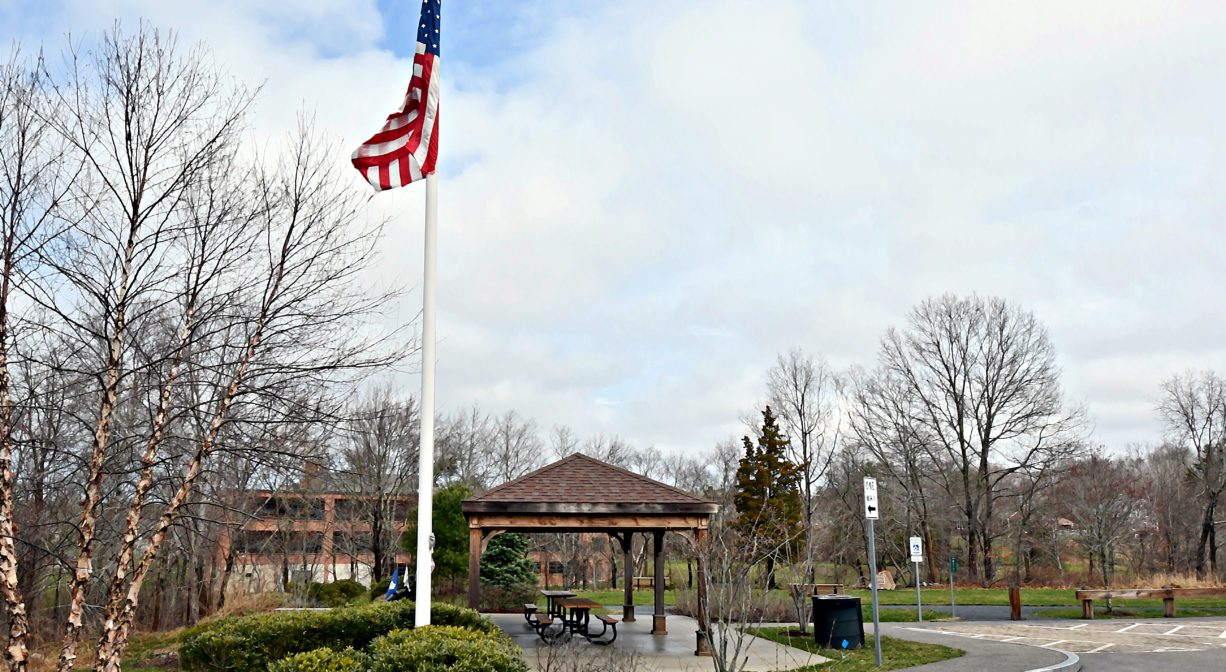
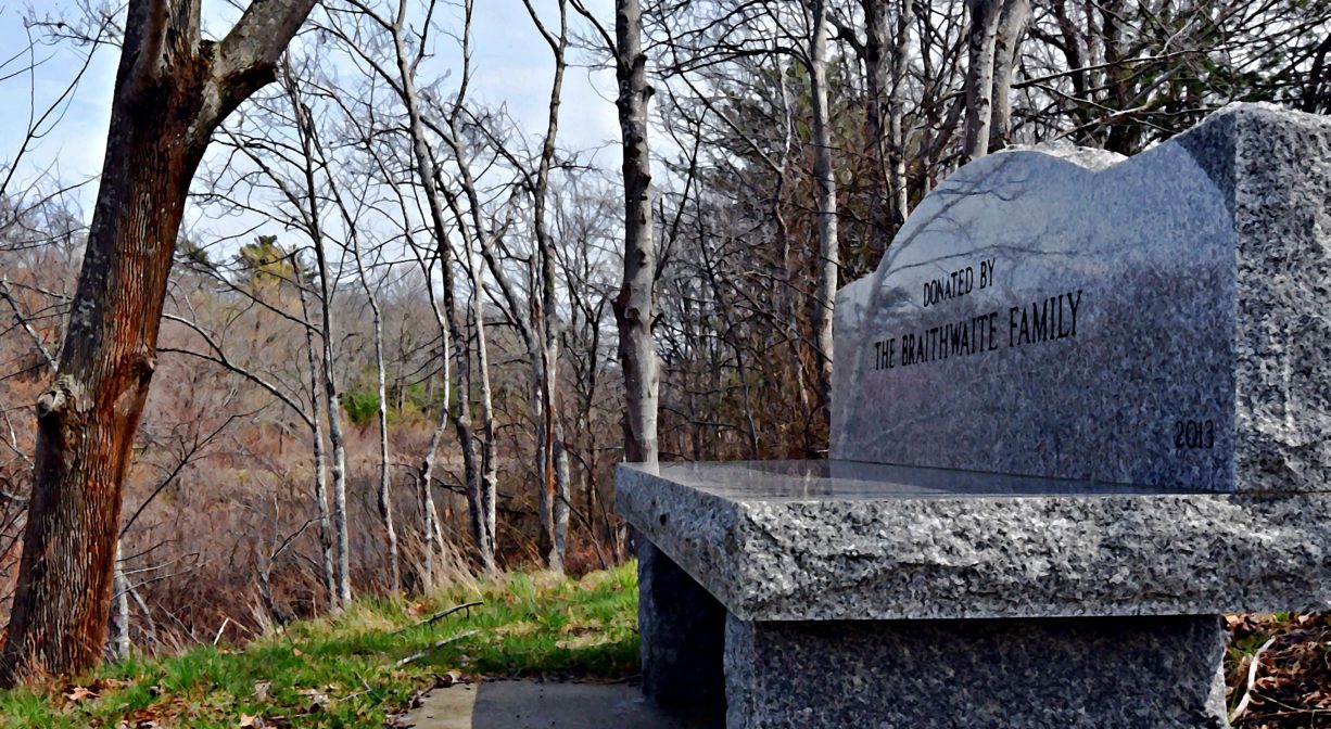
Benches, memorials, flagpole, interpretive signage, shaded picnic area wildlife observation platform (on the river). Trash & pet waste receptacles. Geocache location.
Dogs: Dogs must remain on leash. Please clean up after your pet!
Boat Ramp: No
ADA Access: Yes
Scenic Views: Yes
Waterbody/Watershed: South River

