95 White Horse Rd, Plymouth, MA 02360, USA
http://www.simeshousefoundation.org/st-catherines.html
Owned By: Simes House Foundation
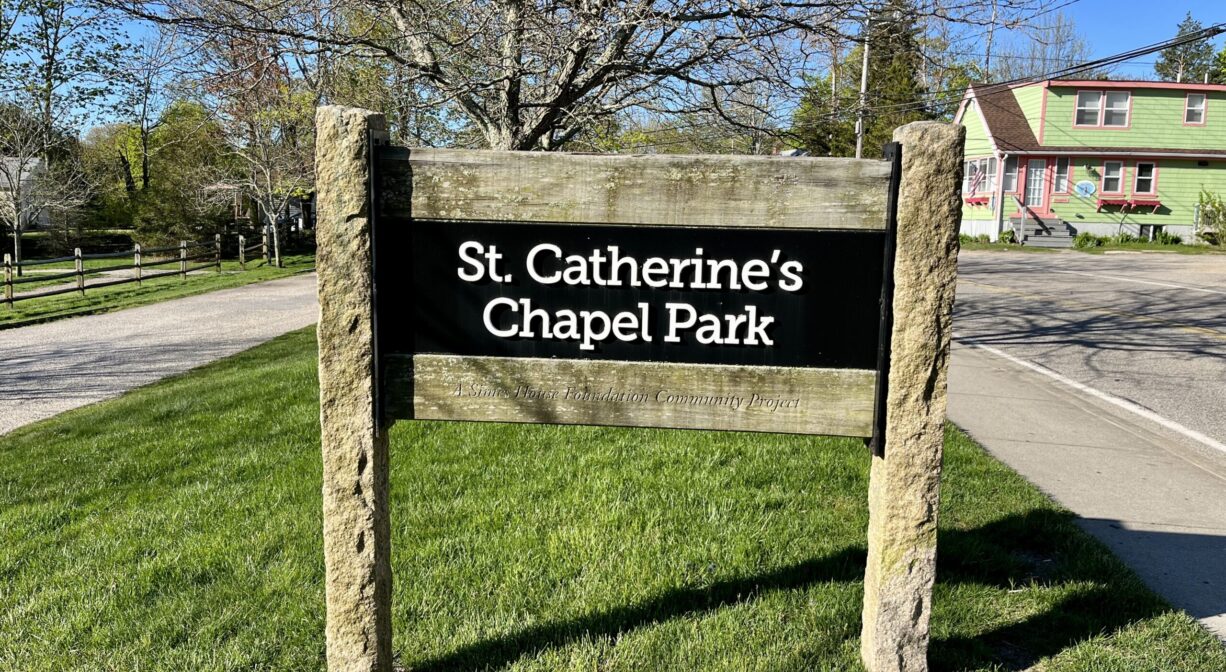
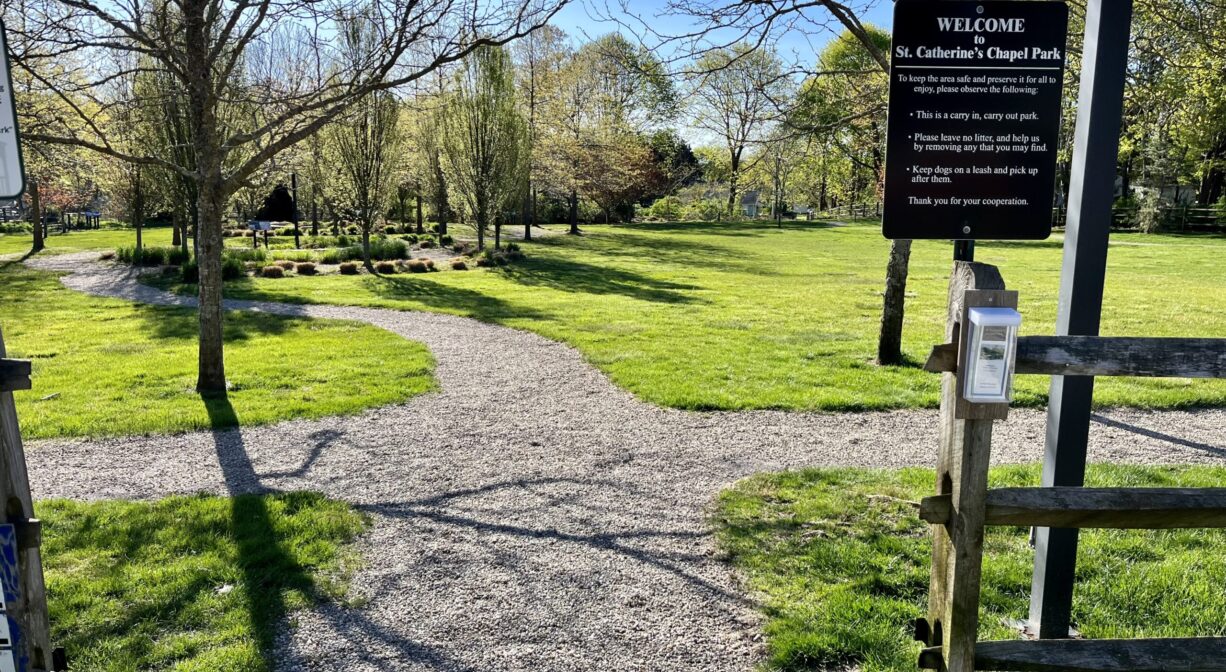
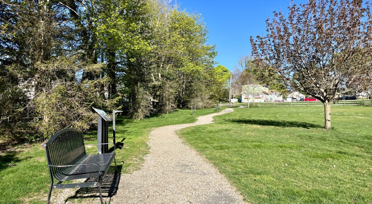
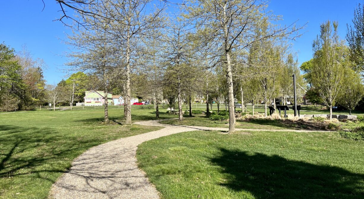
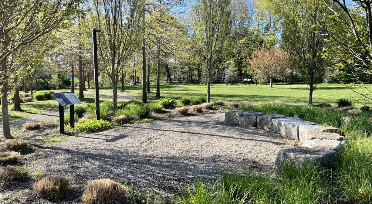
This pleasant, grassy 2-acre park is located in a neighborhood setting, not far from White Horse Beach. It offers 0.25 miles of crushed stone/paved walking paths, numerous benches, and interpretive signage that tells the history of White Horse Beach and Manomet.
Features
This land is within the region of the Wampanoag tribe, who in earlier times, maintained a fishing weir at the mouth of Bartlett’s Pond, nearby. Its outlet to the sea is sometimes known as Herring Brook. The name Manomet has been interpreted to mean “bearing of a burden,” possibly referring to the baskets used by the Wampanoag on trails between their settlements at Patuxet (Plymouth) and Cape Cod. Learn more about the Herring Pond Wampanoag and the Mashpee Wampanoag via their websites.
The history below was gleaned from interpretive signage within the park.
European settlement of what was then known as the Manomet Ponds began as early as 1639. From then until about 1880, the area was home to a sparse network of farms and fishermen’s homes. Summer visitors began building cottages on Manomet Point in the 1850s, traveling to the area to enjoy extended vacations on the shore. Lodging houses, inns and shops soon followed. Shooting and fishing were popular pastimes. In 1899, trolley service became available, making the area much more accessible. Trolleys continued to run until 1928. There was a trolley station at the intersection of White Horse Beach Road and Rocky Hill Road, just south of where St. Catherine’s Chapel Park stands today.
White Horse Road was laid out in 1883, and paved in 1922. Taylor Road was constructed between 1912 and 1925, and then extended to Manomet Point Road in 1935. While today there are no businesses along Taylor Road, from the 1920’s to the 1990’s it was home to numerous commercial enterprises, including the Whip-Po-Will Lodge and White Horse Playland, and later the Sandpiper Inn and White Sands.
In 1901, the Coast Guard established a station at Manomet Point, replacing the the 1874 US Life Saving Service station #5.
St. Catherine’s Chapel was sanctified on August 31, 1924. While originally serving as a mission of St. Peter’s Church in Plymouth, in 1950, it later switched to St. Bonaventure Parish, nearby. When St. Bonaventure doubled the size of its primary sanctuary in 2011, St. Catherine’s Chapel was sold and demolished.
This park is situated on the former site of St. Catherine’s Chapel. The land was sold in 2011 to Good Properties Realty Trust, which established the park. It was given as a gift to the Simes House Foundation in 2013, along with a maintenance endowment.
Trail Description
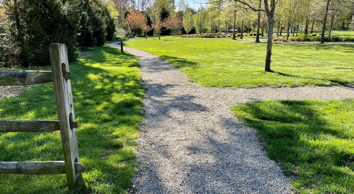
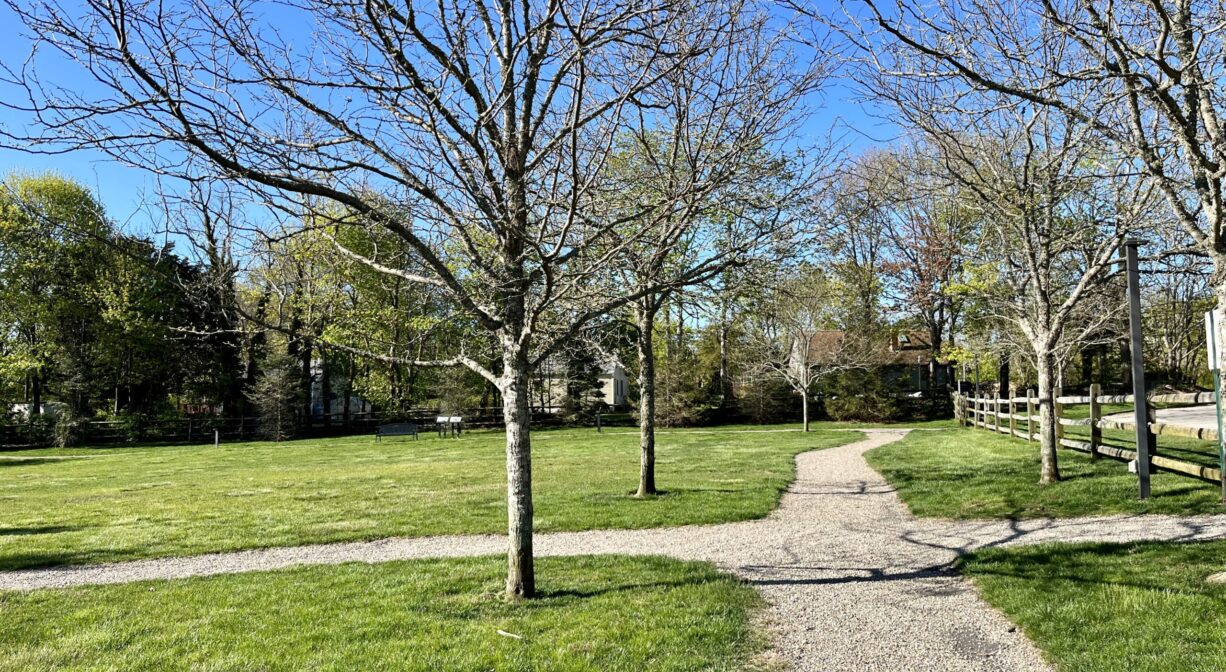
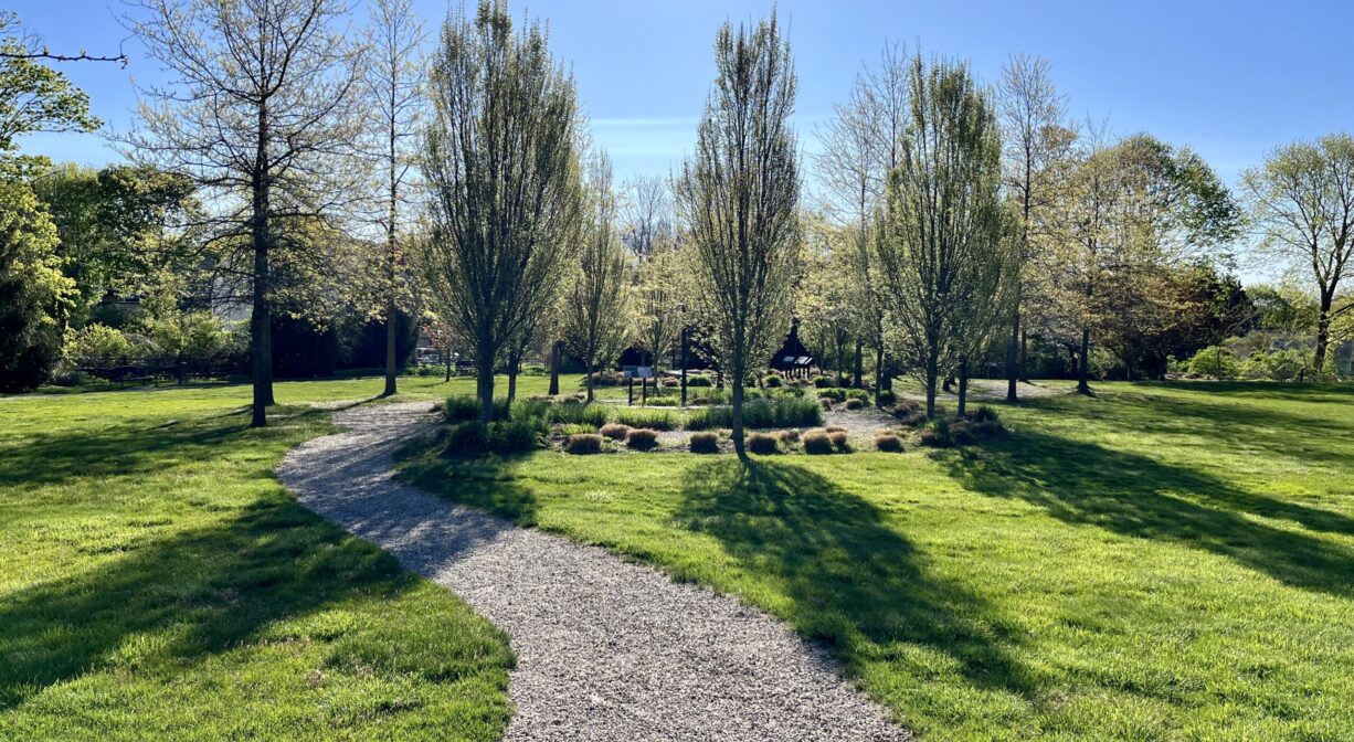
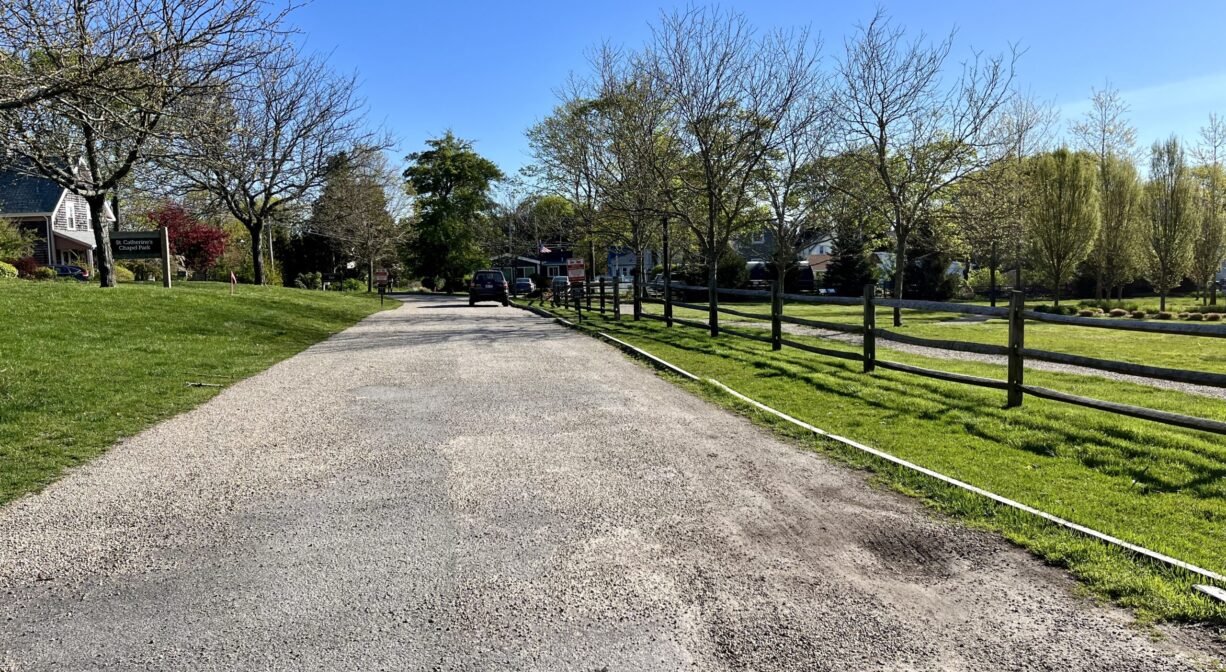
Crushed stone pathways (sometimes paved) extend around the perimeter of the property, and down the middle. The total distance is about 0.25 miles. Along the way, there are numerous interpretive signs, detailing the history of Manomet and White Horse Beach.
Habitats and Wildlife
This grassy park has a wooden fence along its perimeter. Numerous maple trees, as well as other ornamental trees and shrubs, are planted within.
Waters here flow eastward, through Barrett Pond, into the Atlantic Ocean at Cape Cod Bay. They are part of the Beaver Dam Brook watershed.
Historic Site: Yes
Park: Yes
Beach: No
Boat Launch: No
Lifeguards: No
Size: 2 acres
Hours: Dawn to Dusk
Parking: Limited on-site parking.
Cost: Free
Trail Difficulty: Easy
Facilities:
Benches, streetlights, interpretive signage, walking paths.
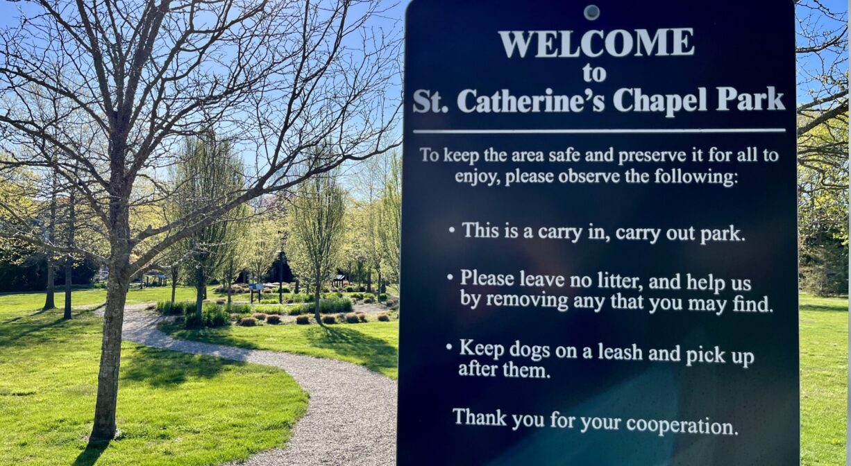
Dogs: Dogs must remain on leash. Scoop the poop!
Boat Ramp: No
ADA Access: Yes
Scenic Views: Yes
Waterbody/Watershed: Beaver Dam Brook (Cape Cod Bay watershed)

