1253 Union St, Marshfield, MA 02050, USA
Marshfield Conservation: 781-834-5573
Owned By: Town of Marshfield
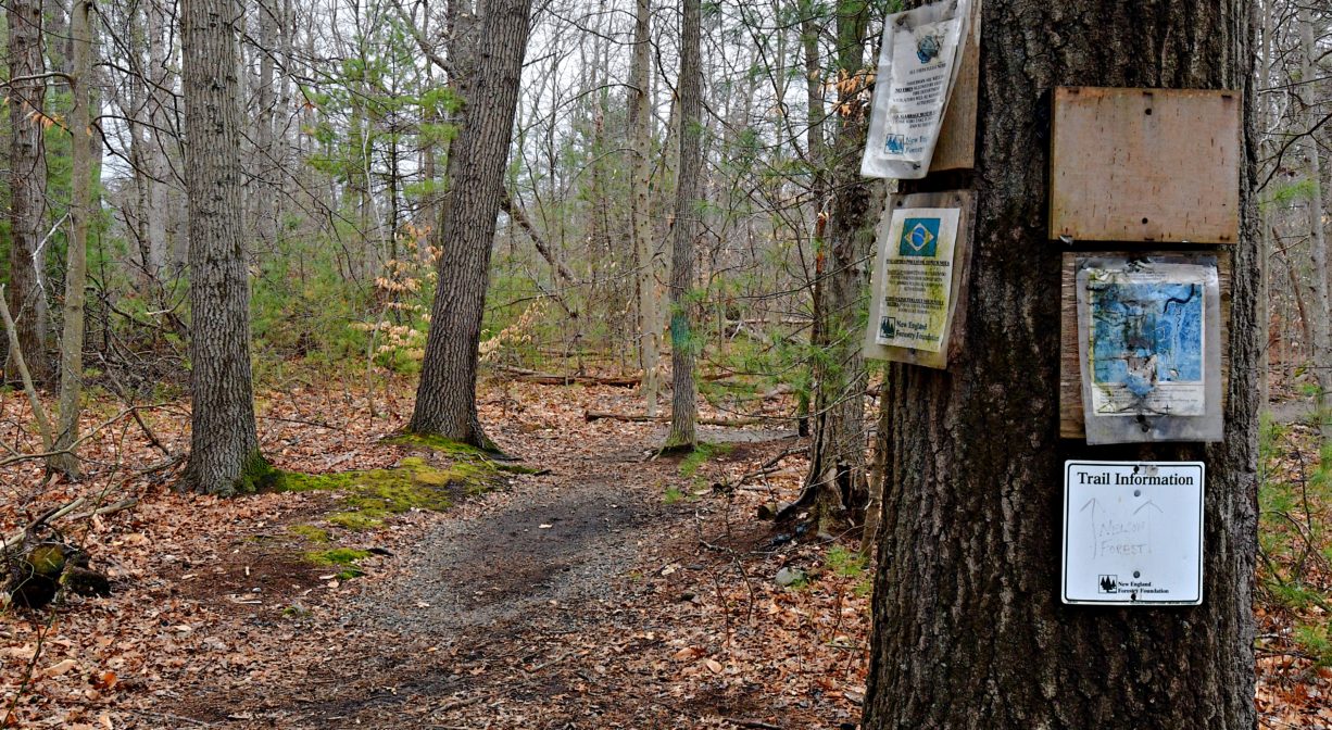
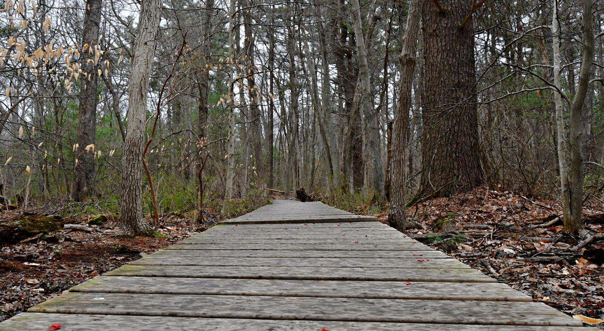
The 41-acre Union Street Woodland in Marshfield features a half-mile woodland trail, with boardwalks, that leads to Nelson Memorial Forest. Another trail connects to Phillips Farm Preserve. These three properties together provide more than 200 acres of open space and wildlife habitat along the North River in Marshfield. The greenbelt continues across Union Street, with Cornhill Woodland and the John Little Conservation Area.
Three additional adjacent properties — Tilden Farm, Cove Creek Nature Area, and Oak Street Woodland — provide another 75 acres of contiguous habitat and open space. Please note that these properties (Tilden, Cove and Oak) are preserved as wildlife habitat, and not presently accessible to the public.
Hunting is not allowed at Union Street Woodland, nor at any of Marshfield’s other conservation properties.
Features
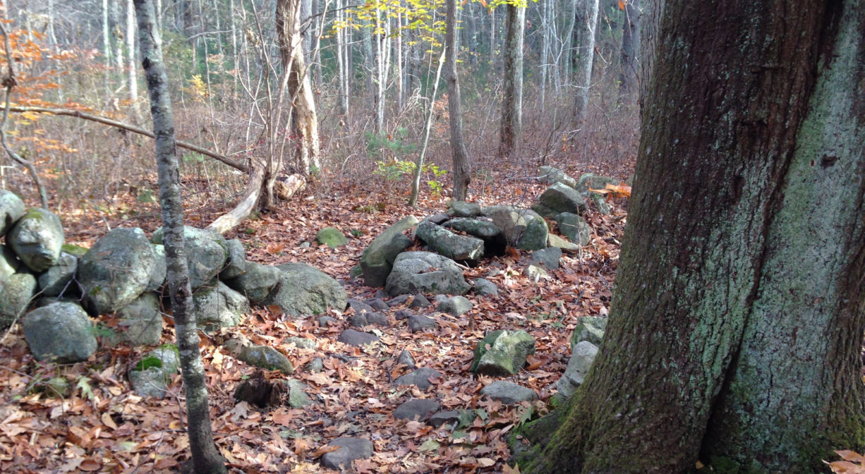
Within this property, you’ll find old stone walls, reminders of its agricultural use in the past. Union Street Woodland is the gateway to the adjacent Nelson Memorial Forest and Phillips Farm Preserve.
This land is within the region of the Massachusett (or Massachuseuk). To learn more about local Native American tribes, we encourage you to interact with their members. The Massachusett tribe at Ponkapoag and the Mattakeeset band of the Massachusett share information on their websites.
Trail Description
Union Street Woodland offers two short trails through the woods, about a half mile total, with some boardwalks. These trails provide access to the adjacent Nelson Memorial Forest and Phillips Farm Preserve. where you’ll find a much larger trail network. Some sections, are uneven, with roots and rocks. The trails are narrow here, but become wider in the adjacent properties.
Habitats and Wildlife
A short distance from the river, this pine-oak forest is home to such woodland species as woodpeckers and blackbirds. There are vernal pools on site as well. Other trees and shrubs include beech, birch, maple, holly and ash trees, sweet pepper bush, princess pine, and tea berry. The property is situated within the watershed of the North River.
Approximately 10 miles in length, the North River begins at the confluence of the Indian Head River (Hanover) and Herring Brook (Pembroke). From there it flows through the towns of Hanover, Pembroke, Marshfield, Norwell, and Scituate. It empties into the Atlantic Ocean between Third and Fourth Cliffs, draining approximately 59,000 acres along the way.
Historic Site: No
Park: No
Beach: No
Boat Launch: No
Lifeguards: No
Size: 41 acres
Hours: Dawn to Dusk
Parking: Limited on-site parking at 1253 Union Street. If you’re heading from Marshfield toward Norwell on Union Street, look for the small (6-8 vehicles) unpaved parking area on the right, just before Hunter Drive.
Cost: Free
Trail Difficulty: Easy, Medium
Facilities:
Geocache location, boardwalks, bench, informational kiosk.
Dogs: Dogs must remain on leash. Please clean up after your pet!
Boat Ramp: No
ADA Access: No
Scenic Views: Yes
Waterbody/Watershed: North River watershed


