Owned By: (privately owned)
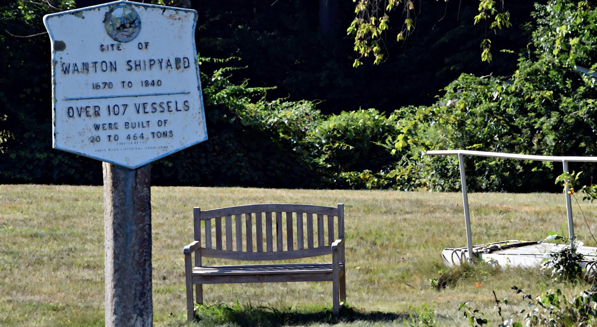
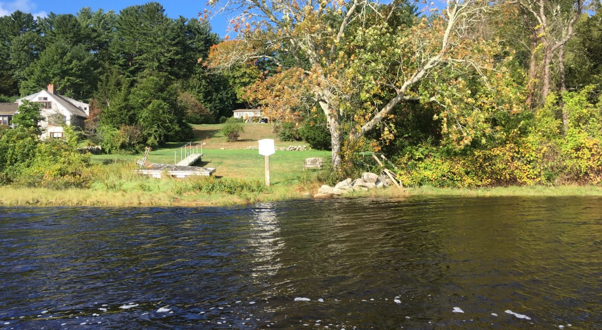
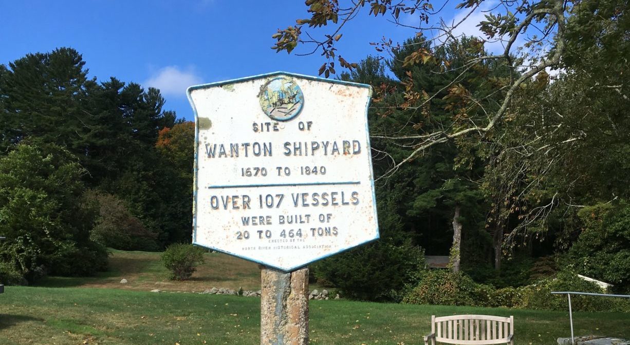
The Wanton Shipyard historic marker stands at this spot on the North River in Norwell. It was also known historically as Foster’s Landing. There were two shipyards at this site (1670-1840), divided by a stone wall, and operated by Edward Wanton and the Foster family. Please respect private property, and view only from the water.
Features
Edward Wanton began building ships here as early as 1670, and probably until 1707. Wanton was a Quaker, and also established a well-attended house of worship on his property. The shipyard remained in use for more than 150 years. The second shipyard was developed around 1795, and was used largely by the Foster family. Both shipyards ceased to function after 1840.
The local shipbuilding industry sometimes employed slave labor. Both Boston and Newport were slave trading hubs, and some of the ships built on the North River were use in the slave trade.
The first recorded vessel launched at the Wanton Yard was the sloop Blackthorne in 1692 (30 tons). Beginning in 1700, Robert Barker became a frequent collaborator. Numerous sloops and brigantines followed, many of which were used by privateers during the French & Indian War (1754-1763).
In 1730, John Stetson purchased the Wanton estate. He and his family members Ebenezer and Snow Stetson (and later, others) built ships here as well as upstream at Bald Hill. Various schooners and brigantines were built at Wanton Shipyard, including the 1796 brig Pacific, a blockade runner.
Benjamin Delano and family also built ships here. The earliest on record is the 1796 schooner Rover (79 tons). His son William carried on the trade and toward the end of his life began construction of the 464-ton Mount Vernon (1815), the largest vessel ever built on the North River. The work was completed by Samuel Hartt.
Around 1795, the Wanton Shipyard was divided into two separate yards. The Foster family soon began working at the second yard. Elisha Foster built the brigantine Garland (128 tons) here around 1795, followed by numerous ships and schooners. Charles Foster was also active here. After William Delano’s death, the Foster family probably worked both yards.
The Fosters were the builders of what remains the most renowned ship from Wanton Shipyard. The Globe (1815) had two decks and three masts. It measured 94 feet in length, with a beam of 26 feet. A successful whaler, it is remembered for being the first ship to bring 2000 barrels of sperm oil into the United States.
But The Globe is best known for a gruesome mutiny in 1824. The ship was owned by C. Mitchell & Co., and commanded by Thomas Worth. After sailing from Nantucket on December 20, 1822, it arrived in the Sandwich Islands in the South Pacific on May 1, 1823, then continued to Hawaii and Japan. By then, six of the 21-man crew had deserted. The Globe continued south toward Fanning Island. In January 1824, after an incident during which a crewman was whipped as punishment, crewmen Samuel Comstock and Silas Payne murdered the captain as well as the first and second mates, then threw their bodies overboard. Not daring to go to port for fear of repercussions, they ran the ship aground on Mili Atoll, with a plan to take the provisions, strip the ship, and burn it, and then take up residence on the island. But there was more trouble to come. Comstock was killed by his shipmates. Crewman Gilbert Smith took charge of the ship and escaped by night with five other men, leaving the others behind. When The Globe arrived at Valparaiso, Chile, in June, the American Consul took possession of it, and sent it back to Nantucket. Most of the men remaining on Mili Atoll were killed by the natives, but two survived and were rescued after 22 months. The ship was sold for salvage in 1828.
The final shipbuilders to work at Wanton Yard were Cummings Litchfield and James Burrill (1838-1840).
The Curtis/Wanton Yards (also known as Foster’s Landing) was also a packet landing, one of many on the North River. Packet ship lines were established prior to 1670, and thrived until railroads came to the South Shore in the mid-to-late 1800s. Over time, White’s Ferry, Little’s Bridge, Union Bridge, Hobart’s Landing, Foster’s Landing, Job’s Landing, Brick-Kiln Yard, and the North River Bridge in Hanover became regular stops. Farmers would meet the packet ship and barter their home-grown vegetables and dairy products for goods from China and Mediterranean, such as coffee, sugar and spices. In addition to home-grown goods, packet pilots also bought wood, fish, pot iron, and charcoal from locals, and sold them lumber and ship supplies. A typical packet run, up and down the river, could take three or four days.
In 1785, subscribers provided funds to construct a bridge over the North River at this site. The Town of Scituate gave its consent, with the condition that it be a drawbridge. The bridge was never built. The project was revived in 1827, but never came to fruition. A similar effort occurred about 50 years later, slightly upstream, but it too failed.
This land is within the region of the Massachusett (or Massachuseuk) Native American tribe. For thousands of years, the land today known as Norwell was inhabited by indigenous people who grew crops, foraged, hunted, and fished in the Assinippi and North River areas. Circa 1617, a major outbreak of disease decimated an estimated 90% of the native population in New England. Descendants of these original inhabitants are living here today. They are known as the Mattakeesett Tribe of the Massachusett Indian Nation, the Massachusett Tribe at Ponkapoag, the Herring Pond Wampanoag, and the Mashpee Wampanoag tribe.
Trail Description
You can view the shipyard plaque from the water, but please respect that this is private property. No land access permitted.
Habitats and Wildlife
There were 24 shipyards along the North River. Together they produced over 1,000 ships. All of those vessels were built with lumber culled from the surrounding forests. By the middle of the nineteenth century, few large trees remained. After the decline of the shipbuilding industry, the forests began to regenerate. Now, thanks in large part to conservation efforts, those forests have grown, providing essential wildlife habitat in the river corridor.
Not far upstream of this site, Dwelley’s Creek flows into the North River.
This property is located directly on the North River. The North River rises from marshes and springs in Weymouth, Rockland and Hanson. It is approximately 10 miles in length, with its source at the confluence of the Indian Head River (Hanover) and Herring Brook (Pembroke). From there it flows through the towns of Hanover, Pembroke, Marshfield, Norwell, and Scituate to the Atlantic Ocean between Third and Fourth Cliffs, draining approximately 59,000 acres along the way.
Historic Site: Yes
Park: No
Beach: No
Boat Launch: No
Lifeguards: No
Hours: Dawn to Dusk
Parking: View from the water only. No public parking or access.
Dogs: No
Boat Ramp: No
ADA Access: No
Scenic Views: Yes
Waterbody/Watershed: North River


